
University of Virginia School of Architecture BUVa - BARCELONA PROGRAM 2019 1 University of Virginia
1 University of Virginia
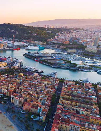
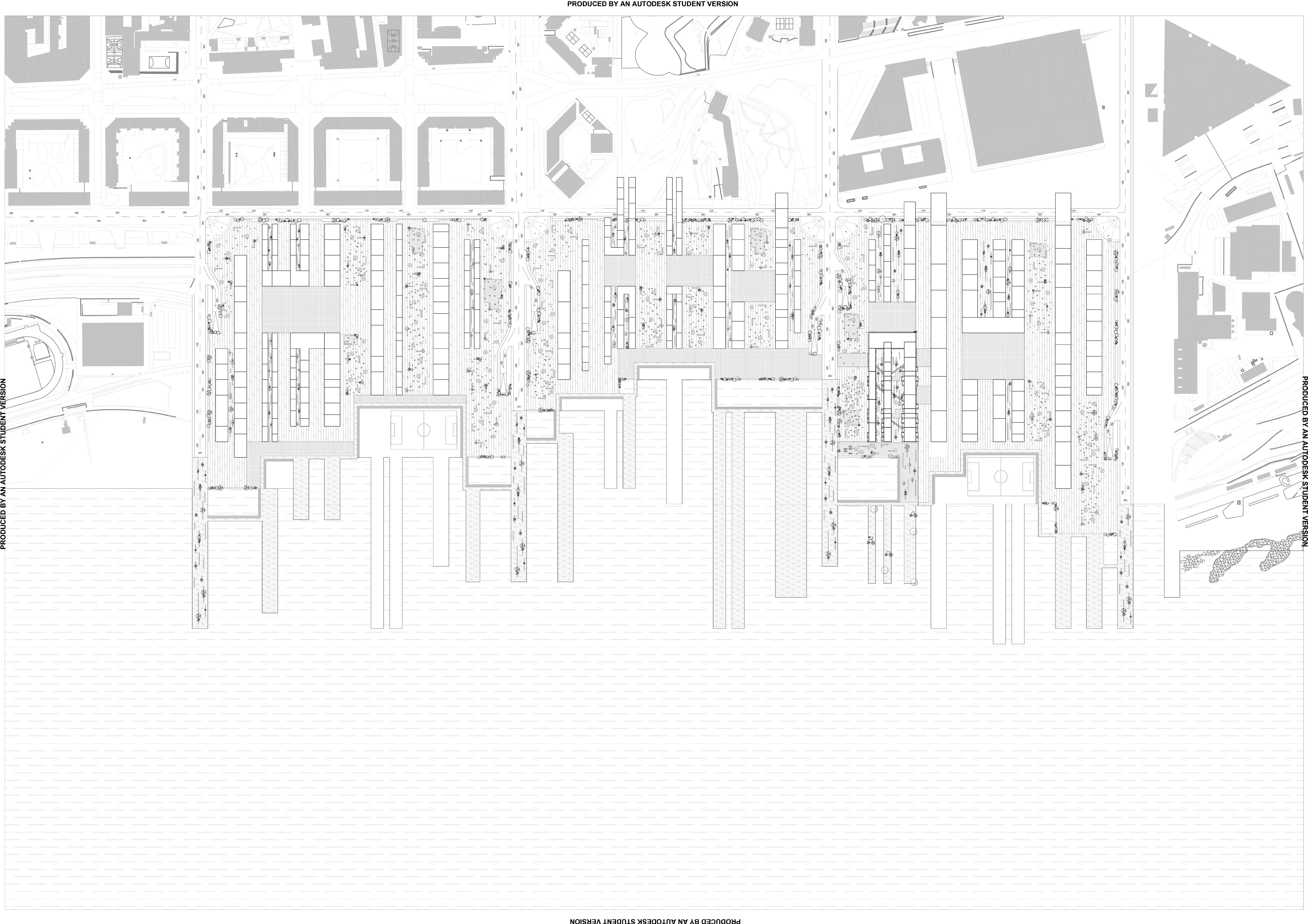
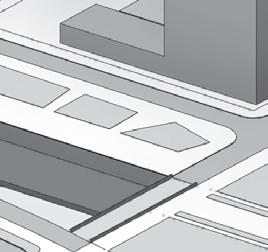
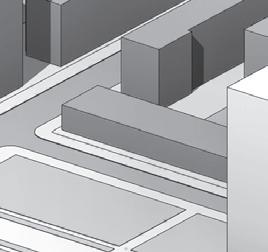
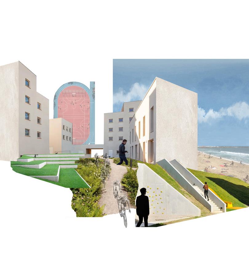
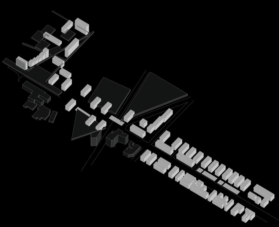
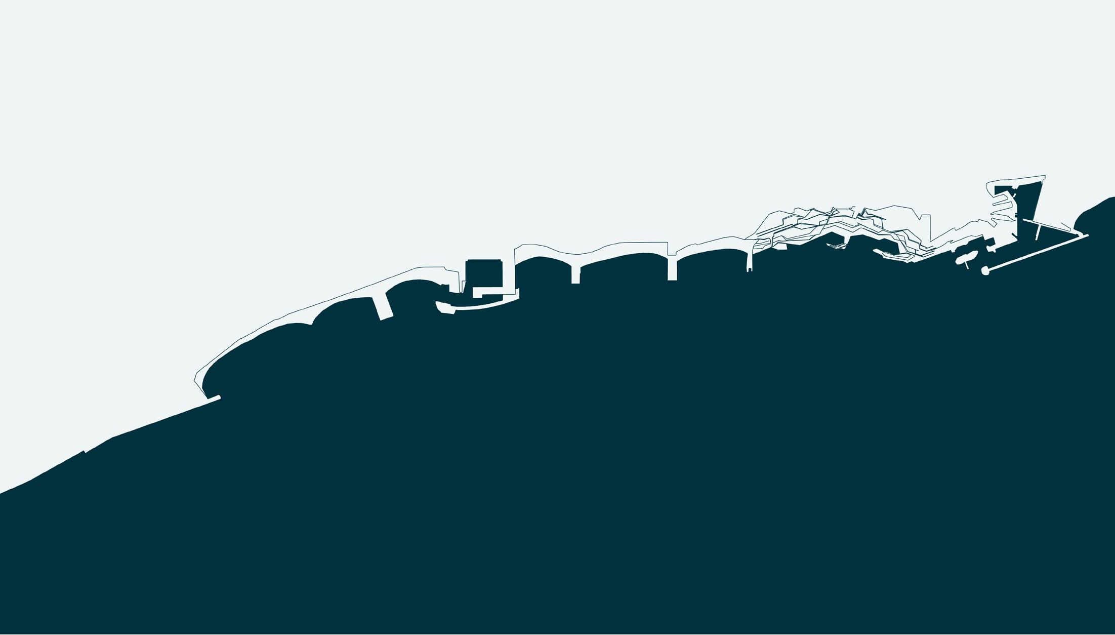
BADALONETA
_ALAR 7010-8010 - RESEARCH STUDIO
DAY LIFE
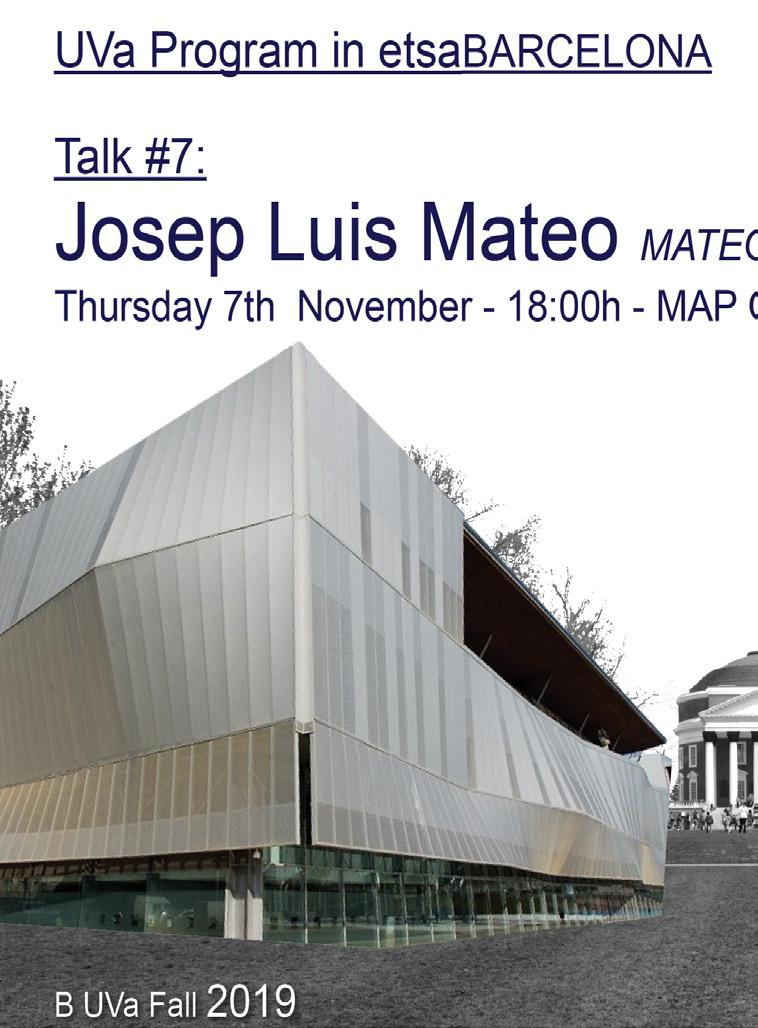
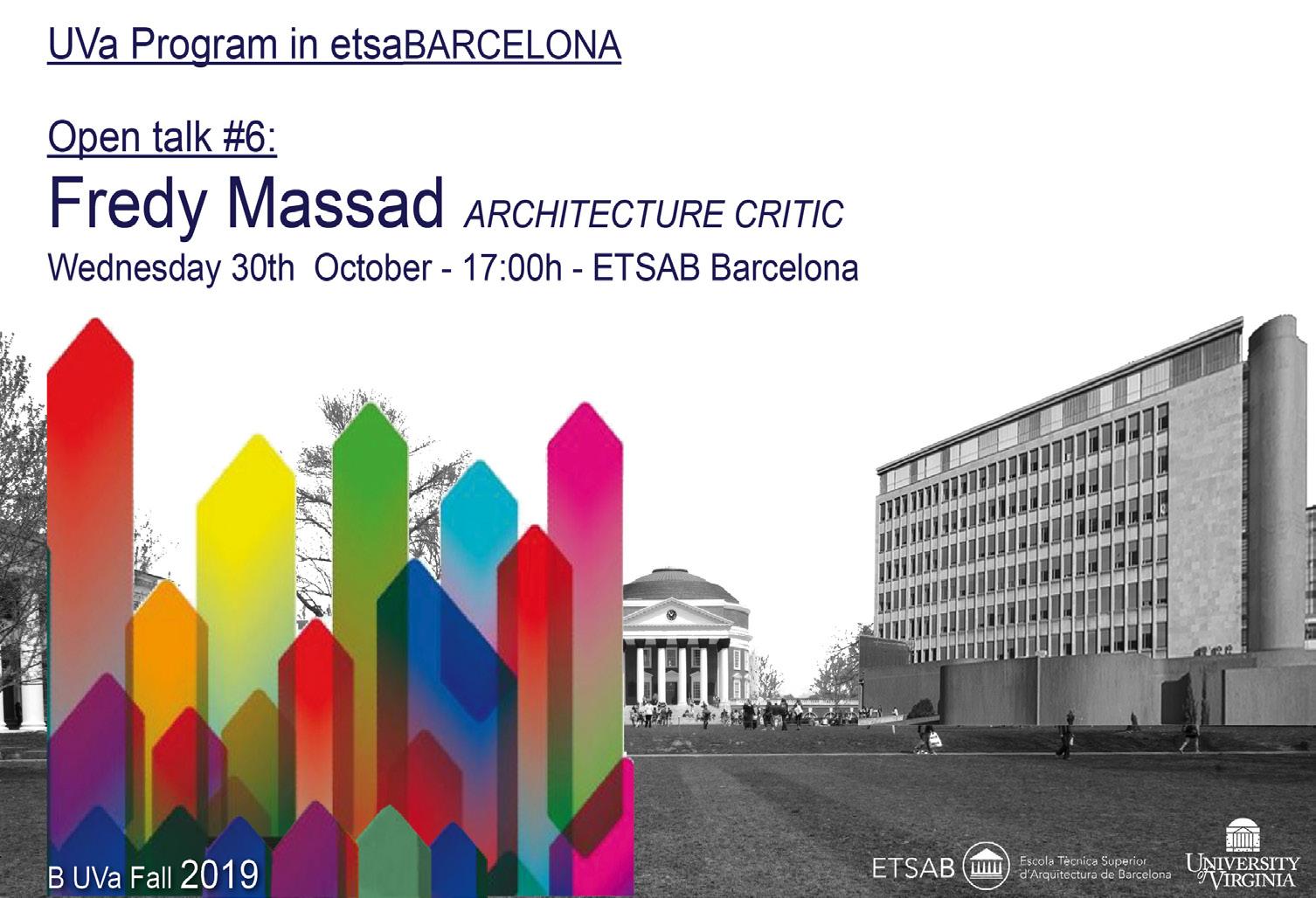
OPEN TALKS
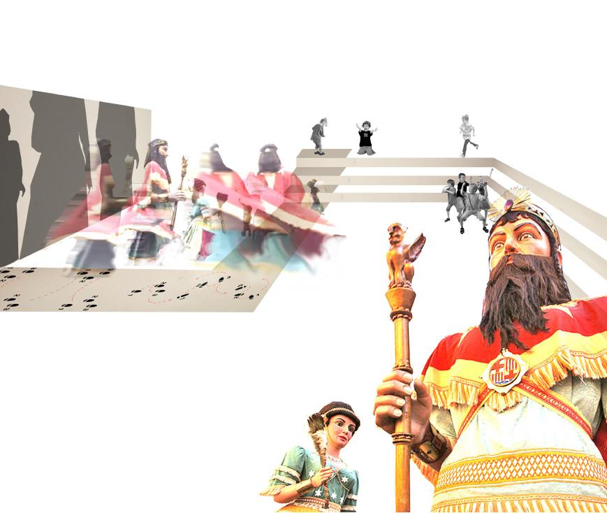
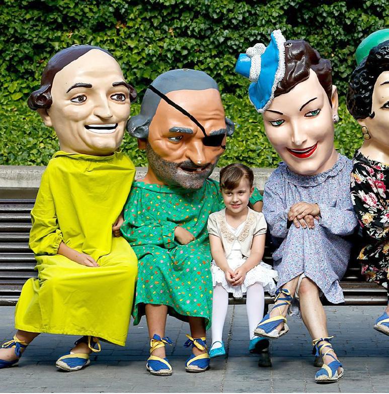
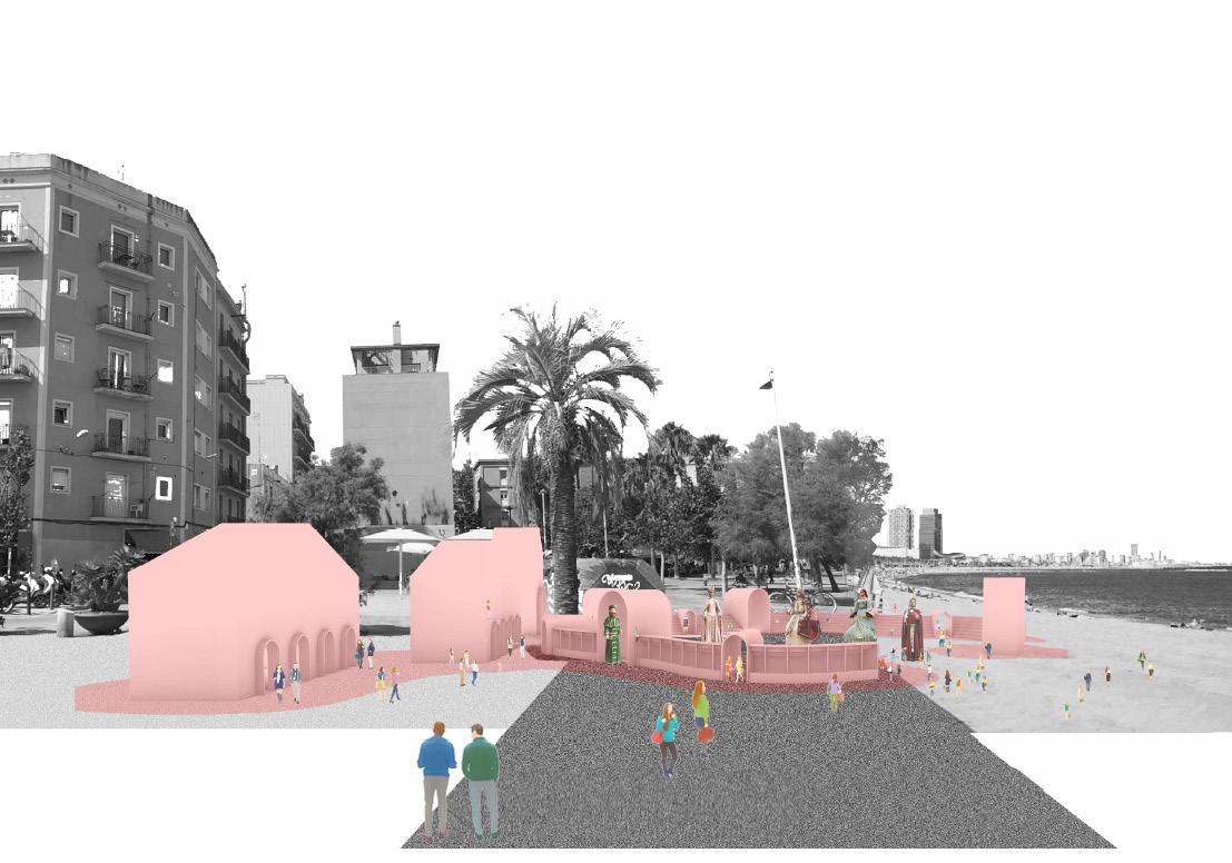
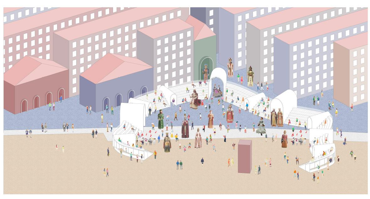
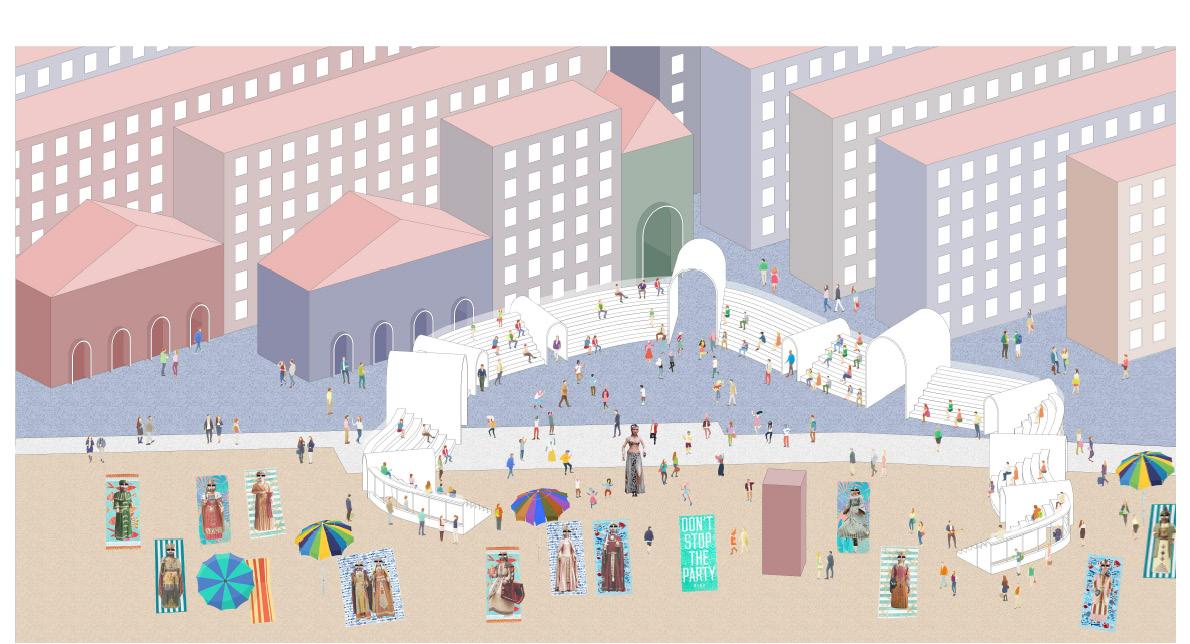
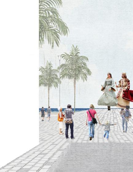
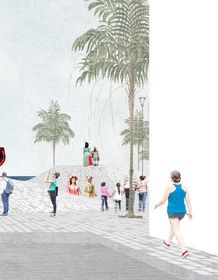
THE GIANTS SHOW
_ARCH 5605 - URBAN MATERIALITY
MODERN CITY –MODERN LIFE
_ARH 5613-501 - GAUDI’S LEGACY
CONSTRUCTION OF THE MODERN CITY
_PLAN 5611-501 - BARCELONA URBAN HISTORY
158
168
172
184 186
3
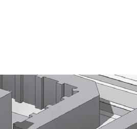
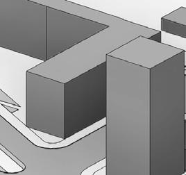
BADALONETA
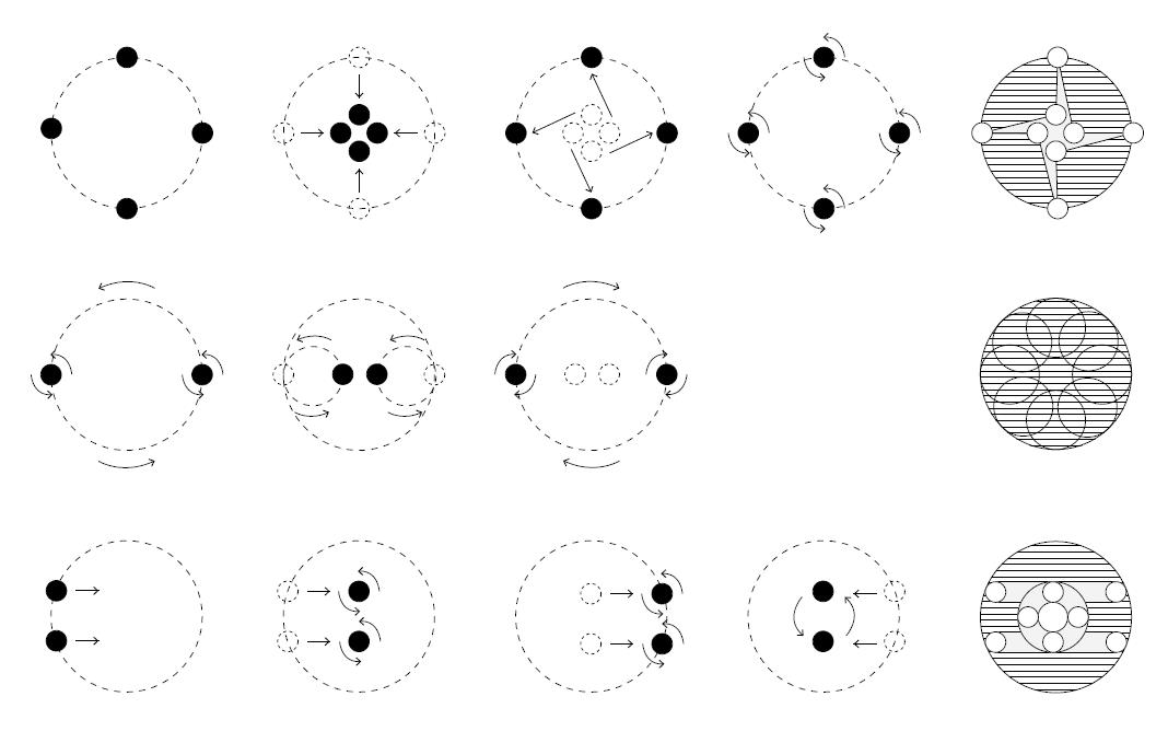
ALAR 7010 - 8010 - Research Studio
Manuel Bailo_Associate Professor
María Fandiño_Teacher Assistance
BADALONETA
BADALONETA
BADALONETA
BADALONETA
BADALONETA
Barcelona Program. BUVa
Barcelona and the Urban Design
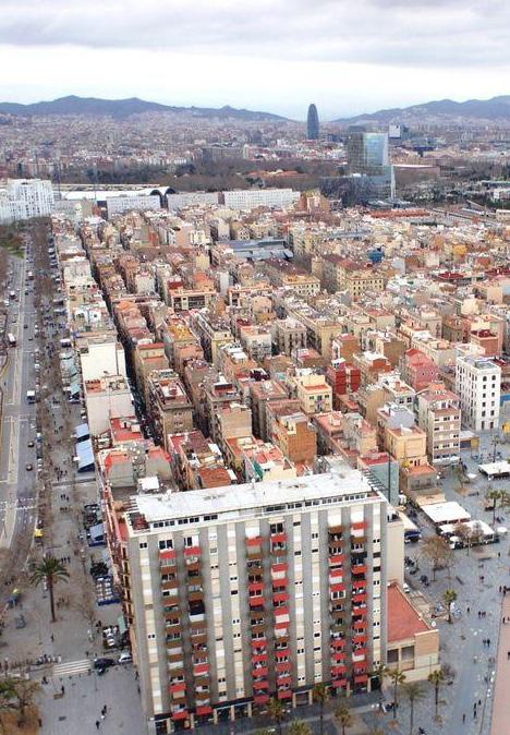
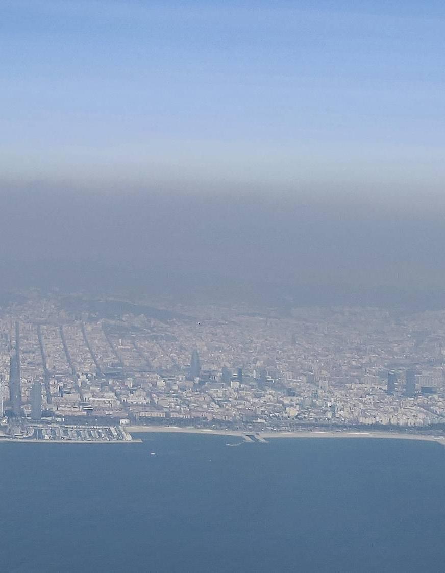
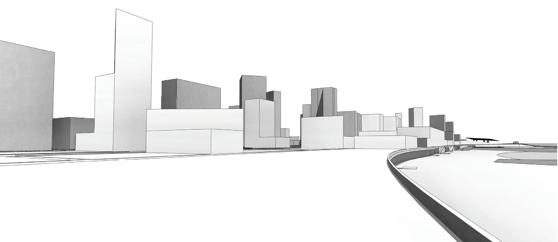
Barcelona is well known internationally for its urban culture; a place where architecture defines the citizen’s way of life. It is a city in which the voice of the architect has historically had the responsibility of improving the town. The Cerdà grid, designed during the Nineteenth Century, and the restoration of Barcelona through the Olympic Games created a city where architecture is naturally part of its culture. Barcelona is an ancient and modern city where urban design and architecture are one unique entity. Barcelona it’s the perfect example of a dense European city to be studied.
The main goal of this program is to dive deep into urban investigation studying the city laboratory of Barcelona. The unique experience of living in Barcelona during 3 months and taking the program classes with the best urban design professors, help to the students to understand the strong link between architecture and public space. Barcelona is an excellent European example of “generous urbanism”, which is a kind of cityscape where buildings talk to one another, creating relationships within the public space. This is how the European city is shaped.
The Barcelona Program constitutes a laboratory of urban design, where visiting modern architecture and landscape works and studying urban
history we try to visualize and design the city of tomorrow. In Barcelona we work with complex urban area which force to the students to go beyond simple object design. The goal of the Program is to design new urban situations incorporating urban relationships, public spaces and infrastructures.
Barcelona Program: Answering modern city issues through architecture and landscape.
After the first experience of this program that took place on 2017, when we focused into creating a new big facility like the Catalan Parliament, taking into consideration El Moll de Fusta (today an abandoned public space but one of the most important and successful alive public spaces in the eighties), this past year 2018 we worked in one of the most complex urban nodes of the city: the Glories Square. This second experience had the ambition to state and dispute the most contemporaneous urban questions that this complex site of the city has still open and to be resolved. We hope, after three intense months studying urban history, landscape issues, climate topics and taking the best lectures, we have answered some.
Manuel Bailo Esteve Director of the Barcelona Urban Design Program. Associate Professor of Architecture UVa.
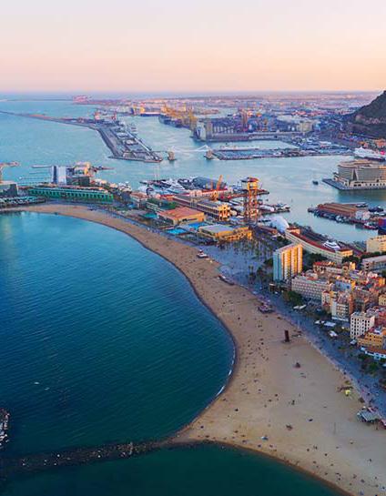
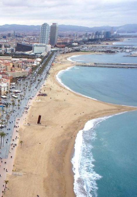
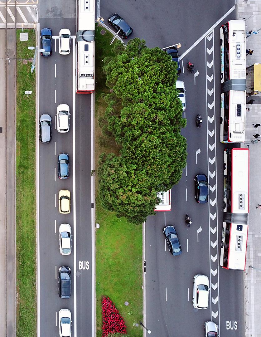
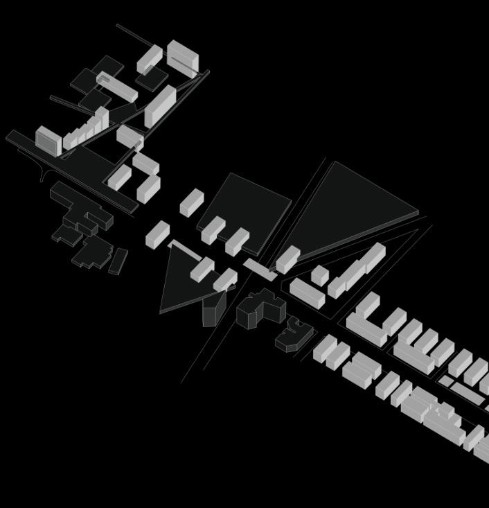
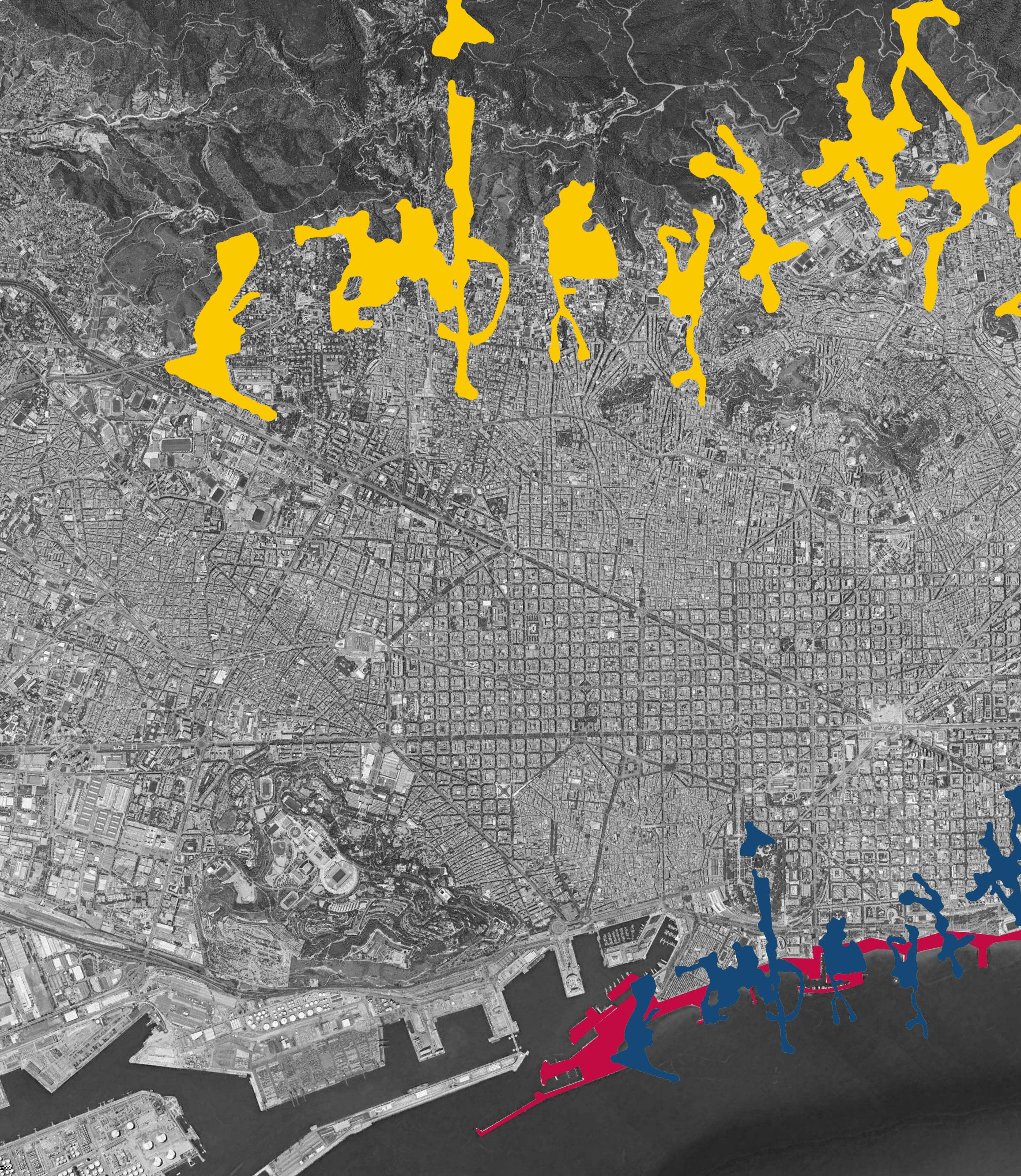
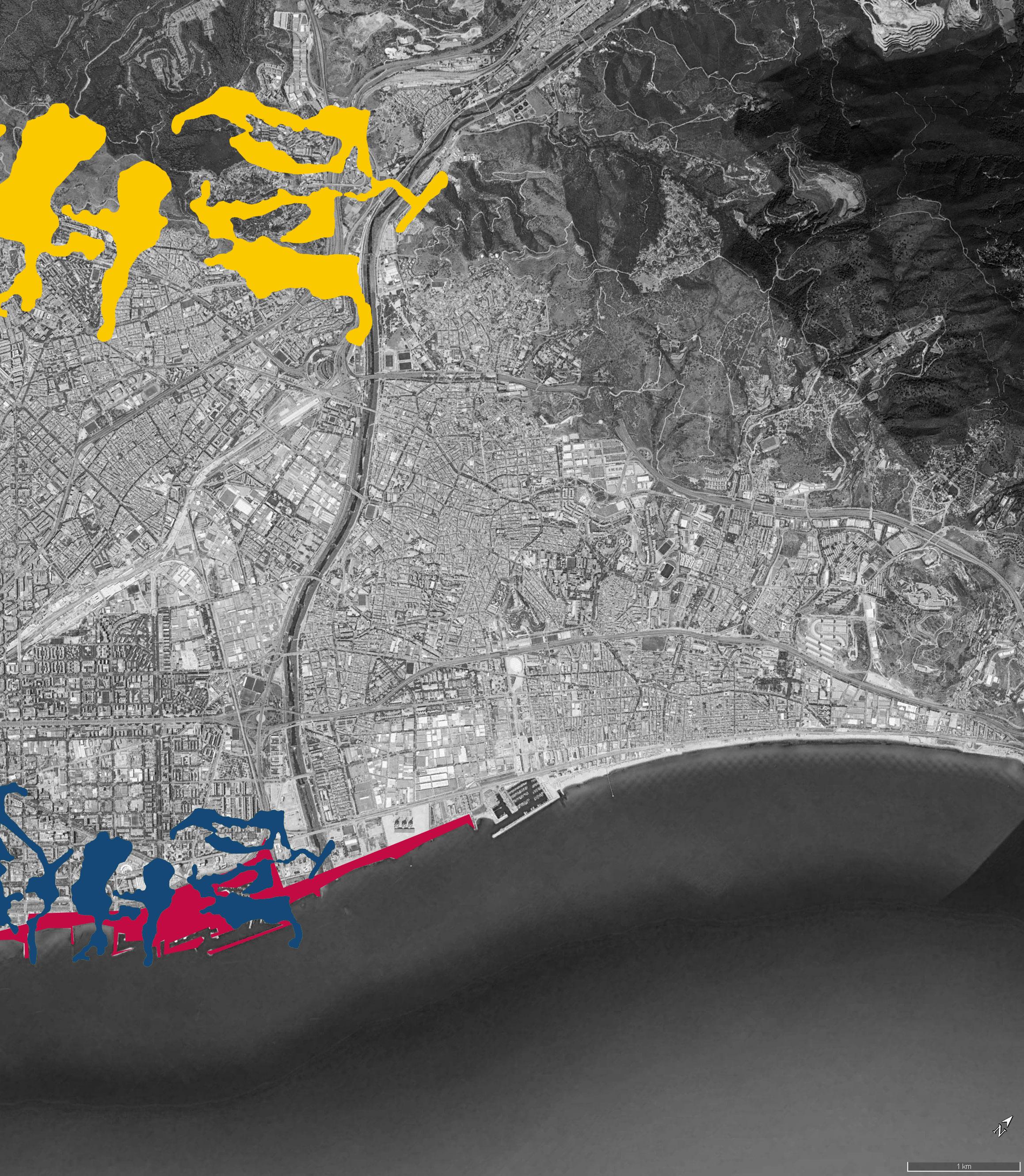
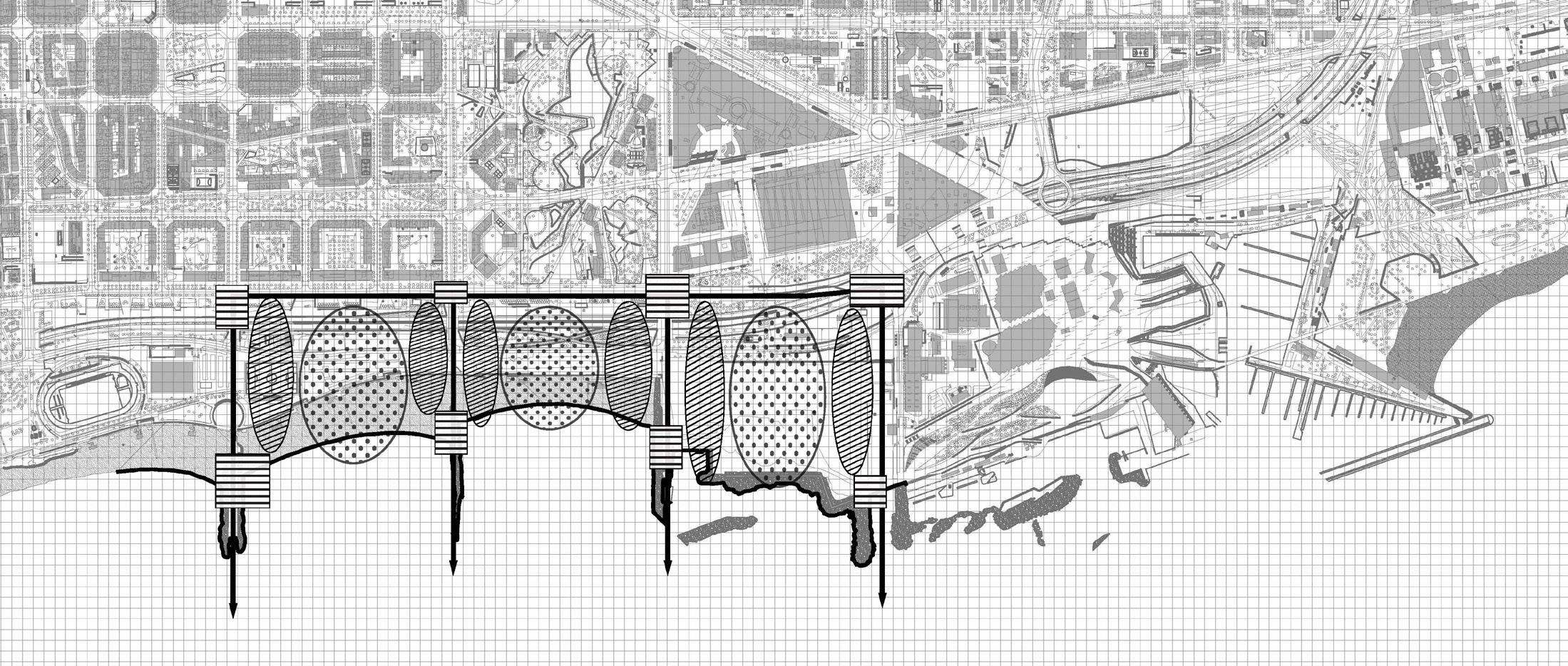
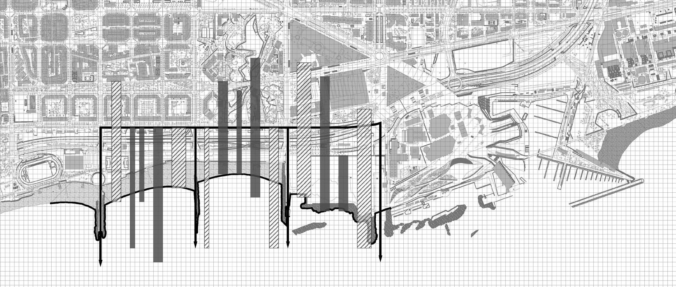
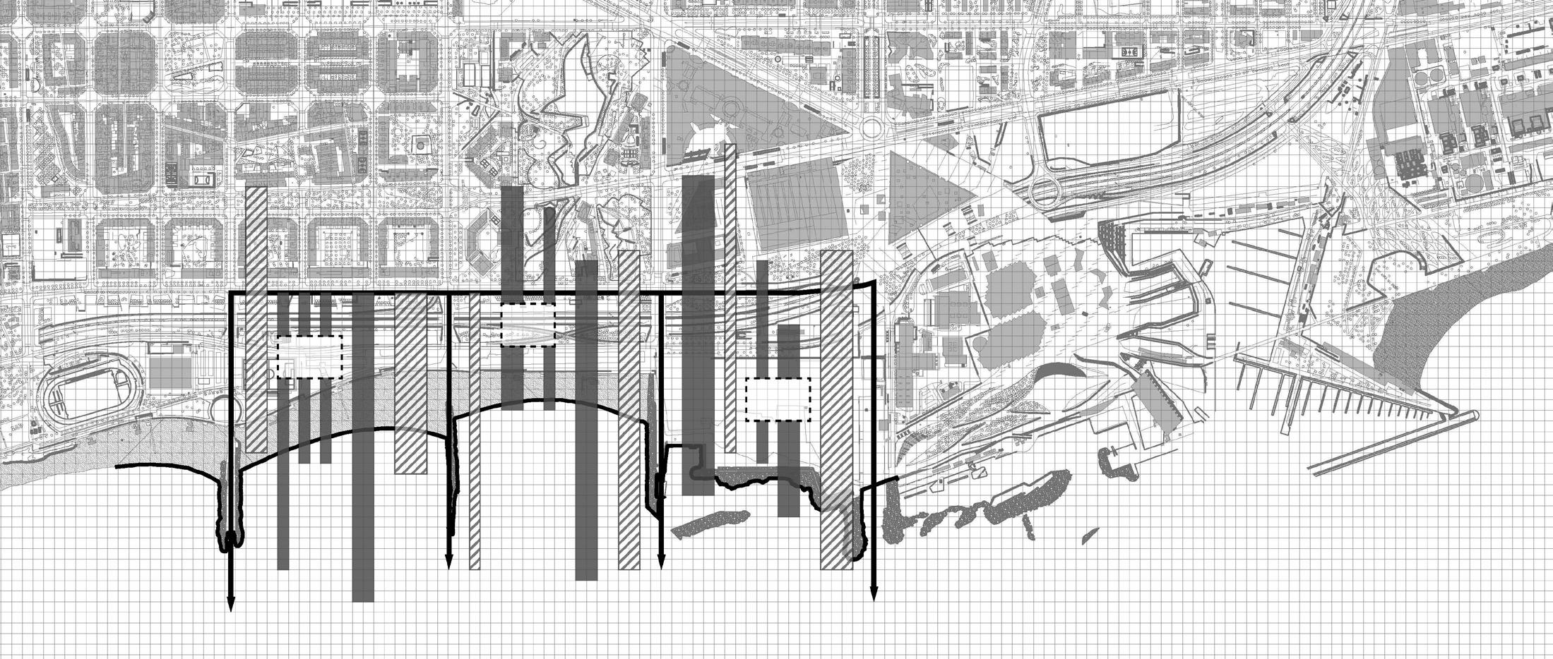
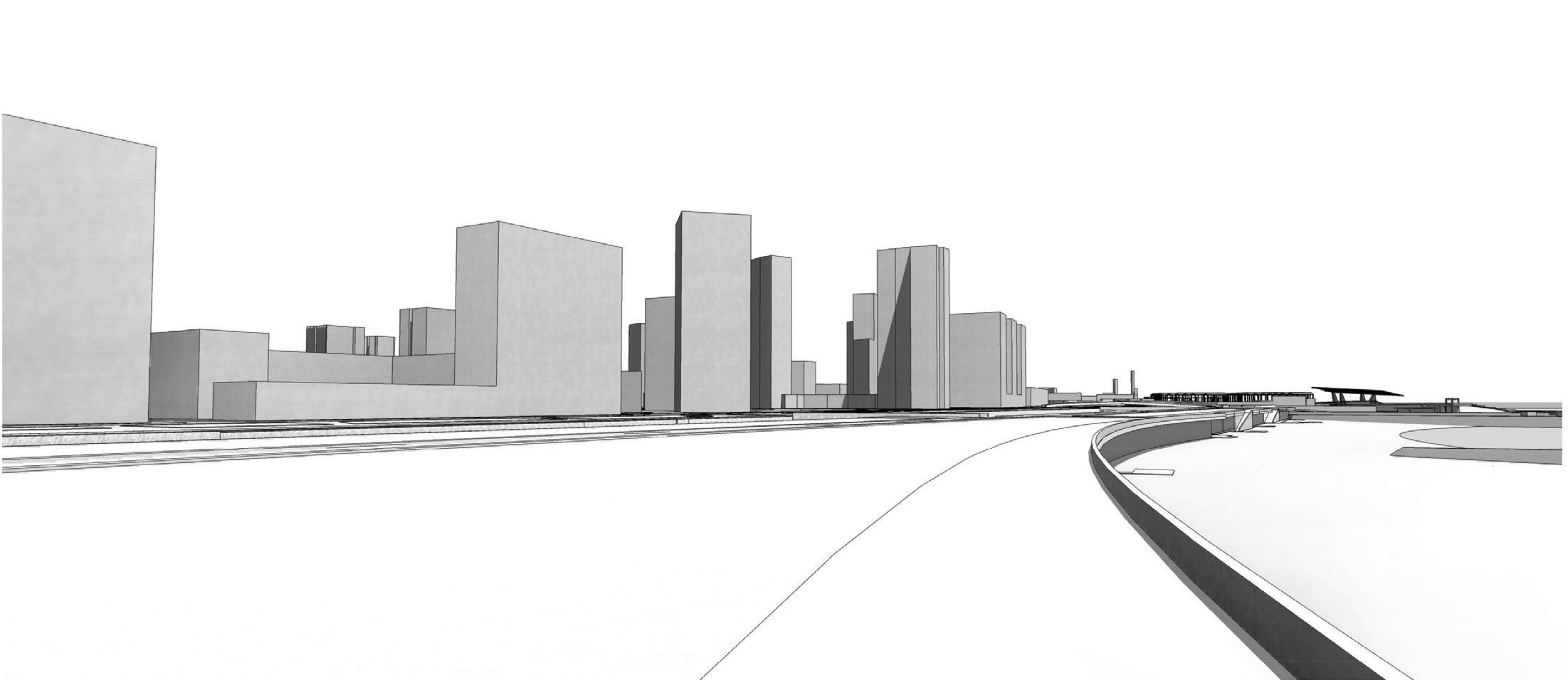
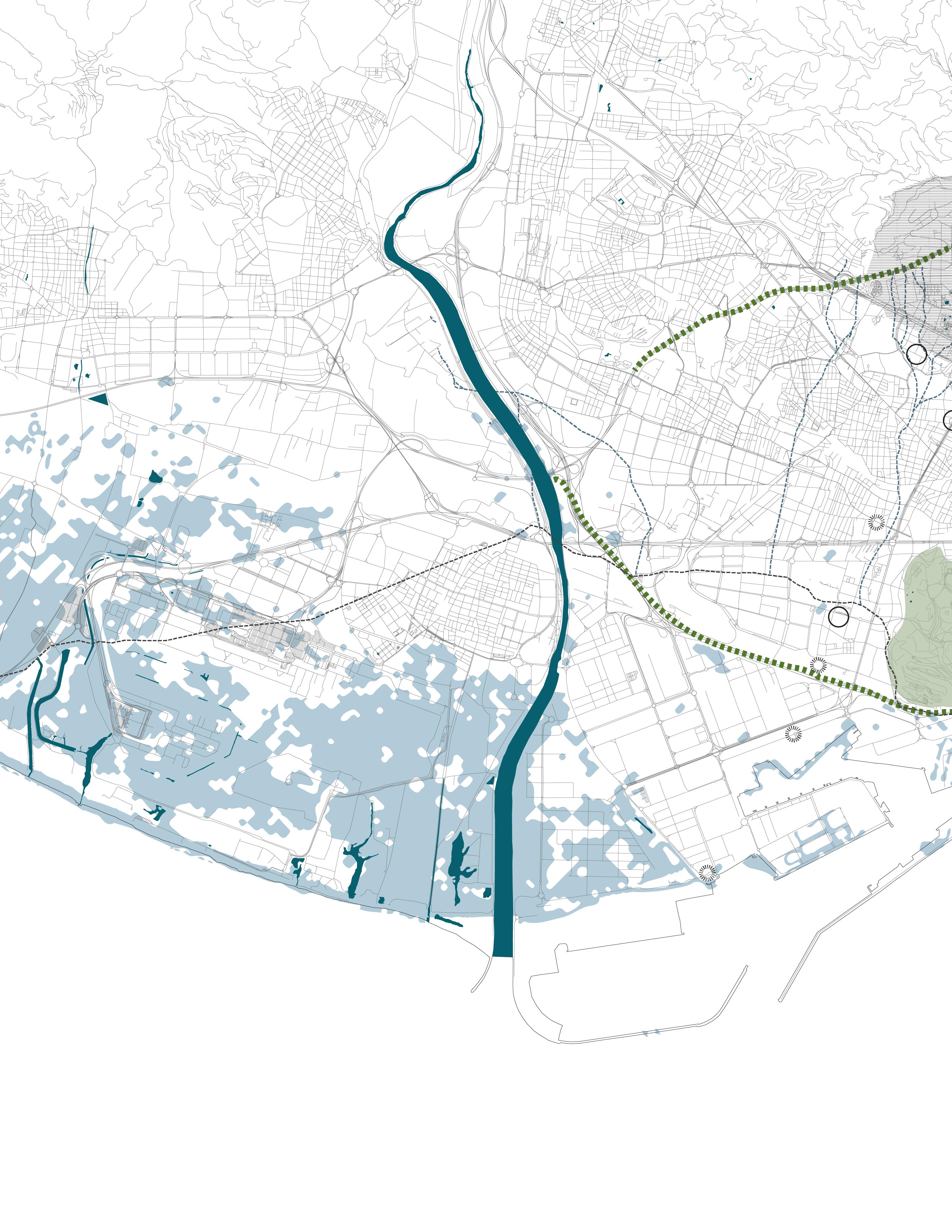
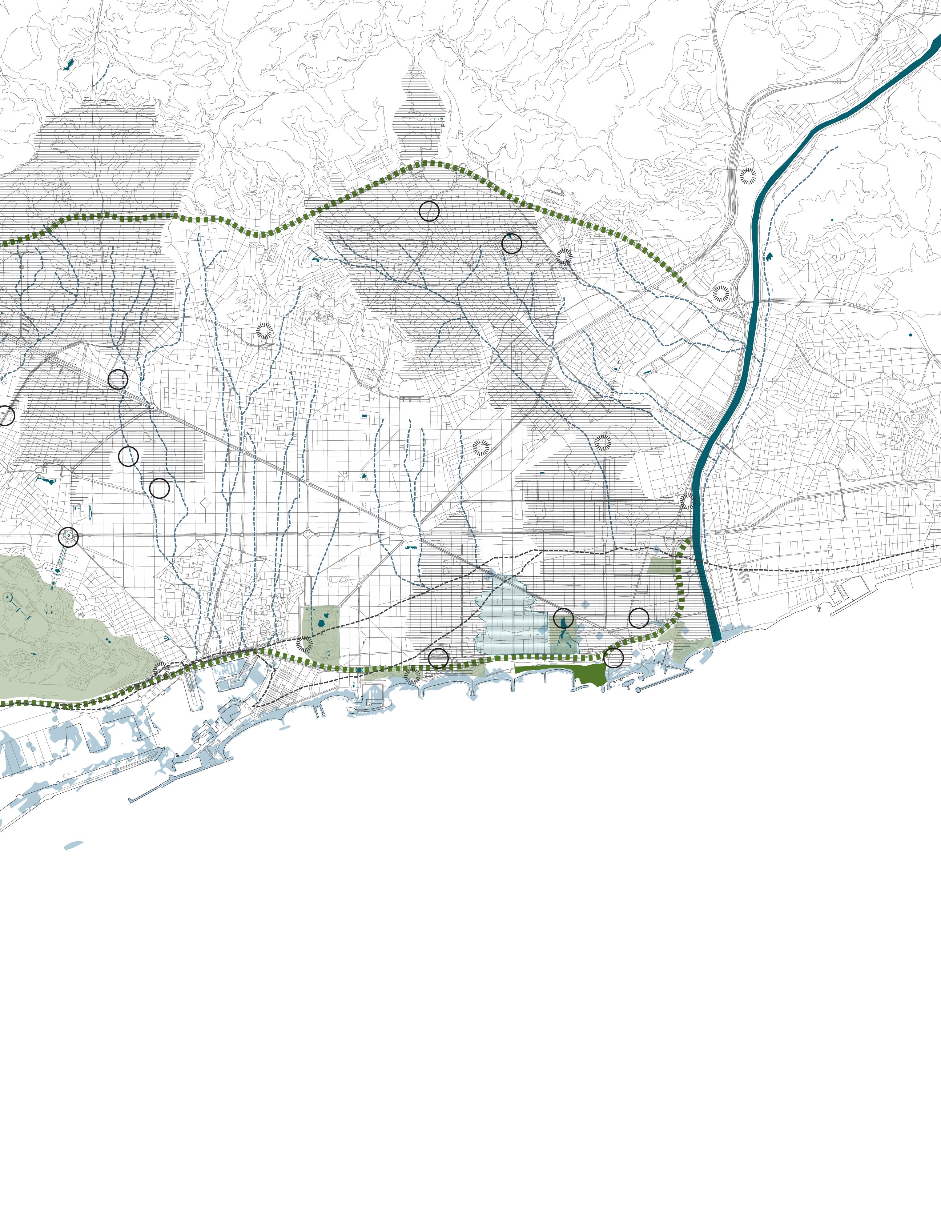
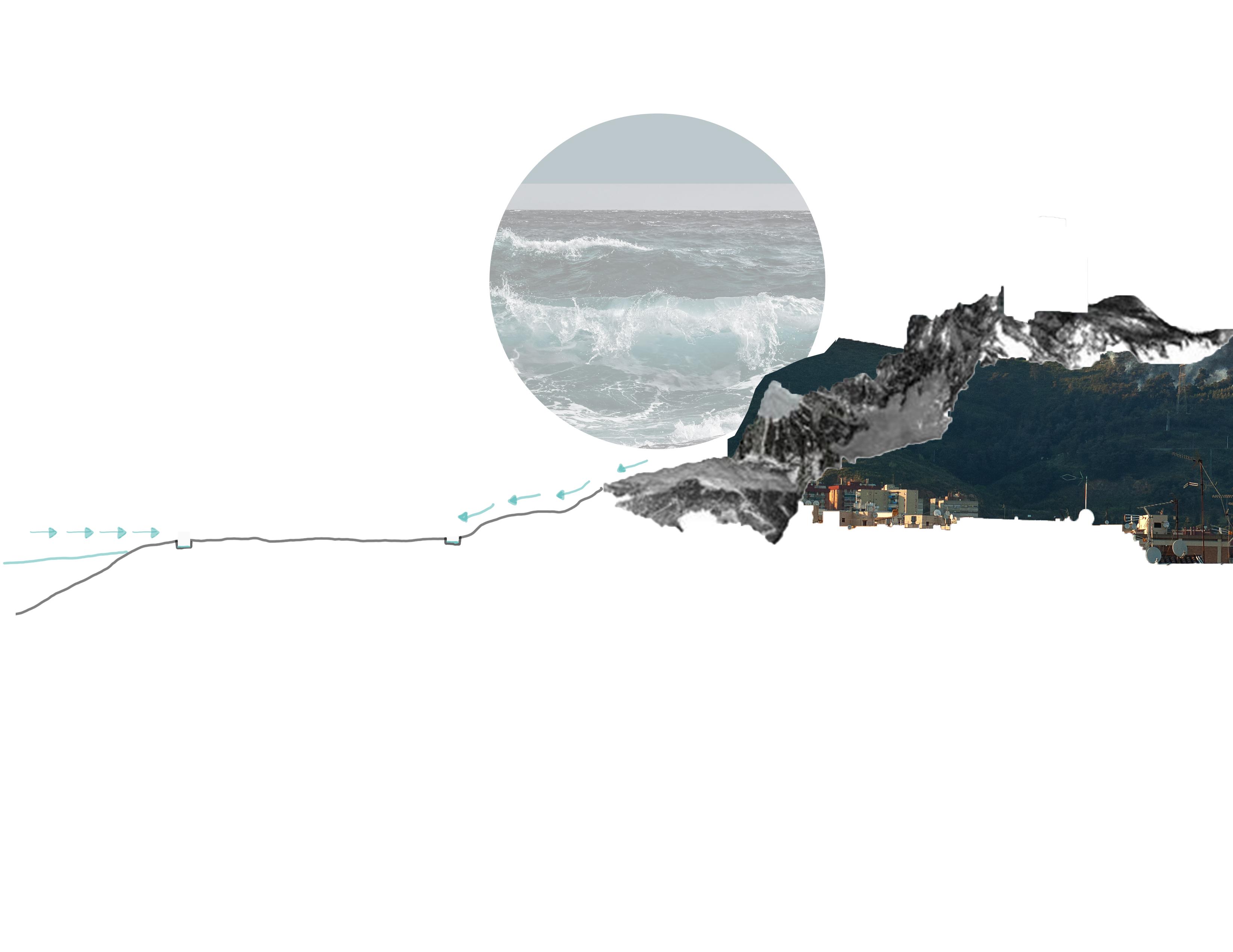
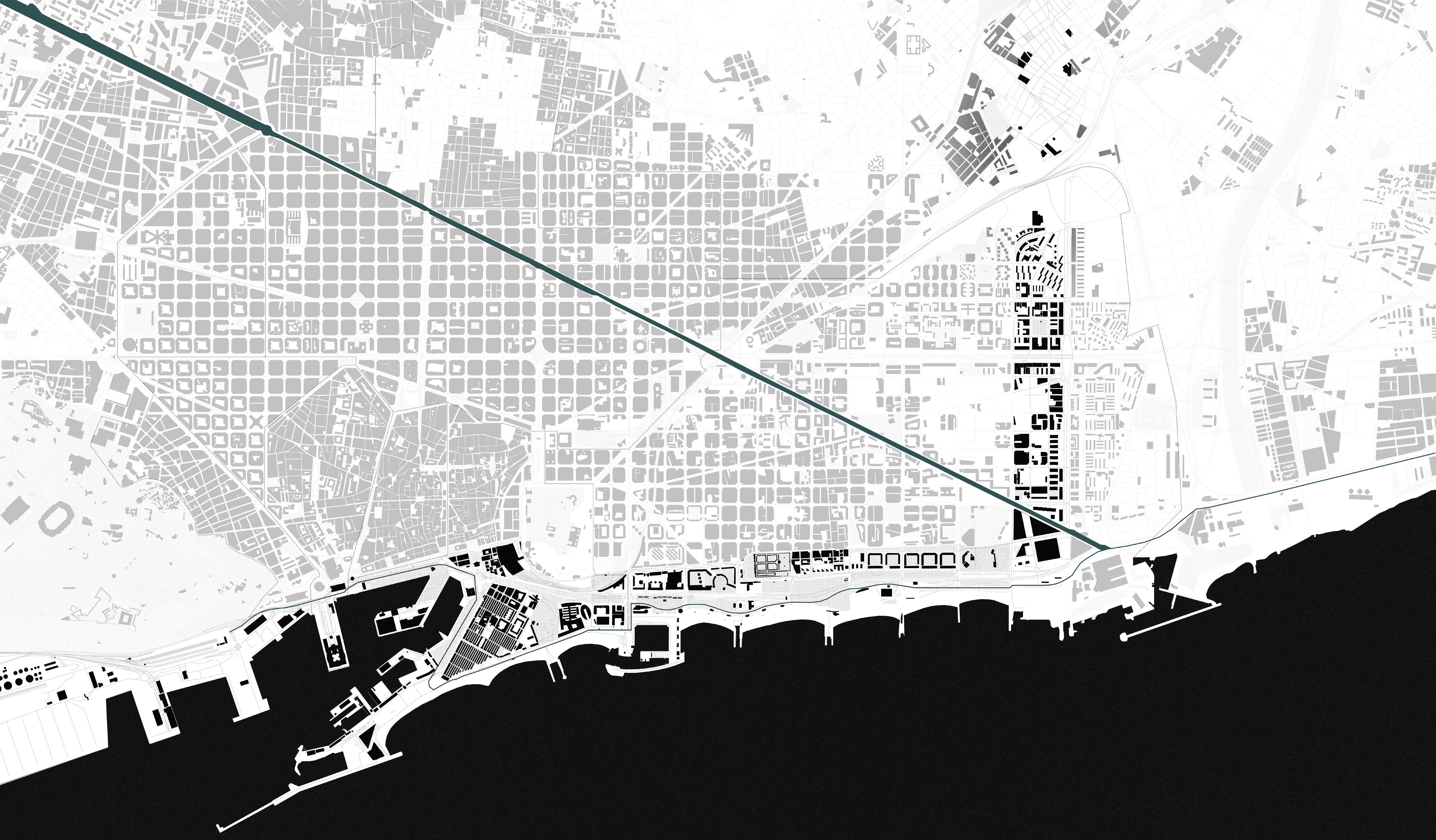
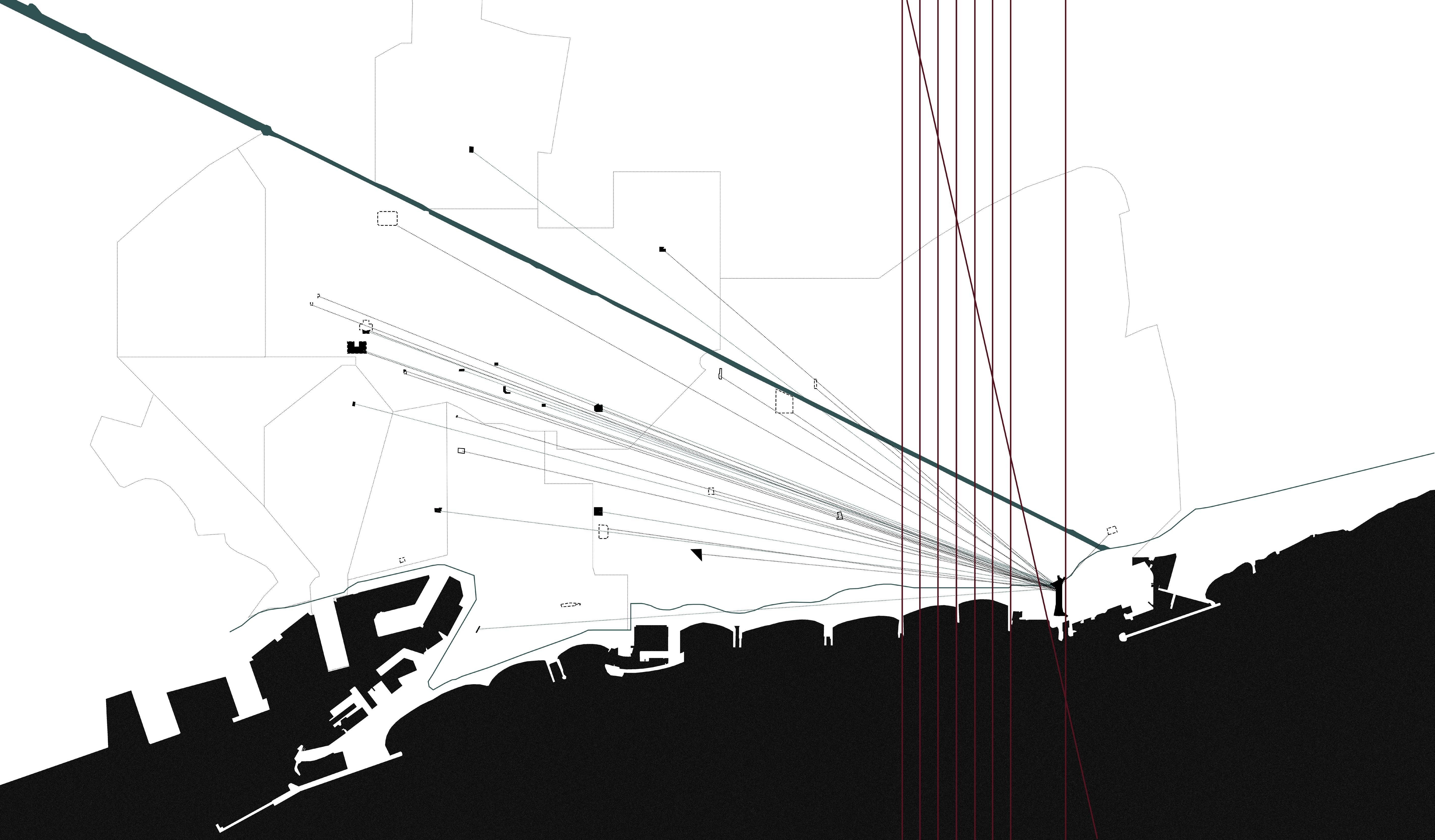
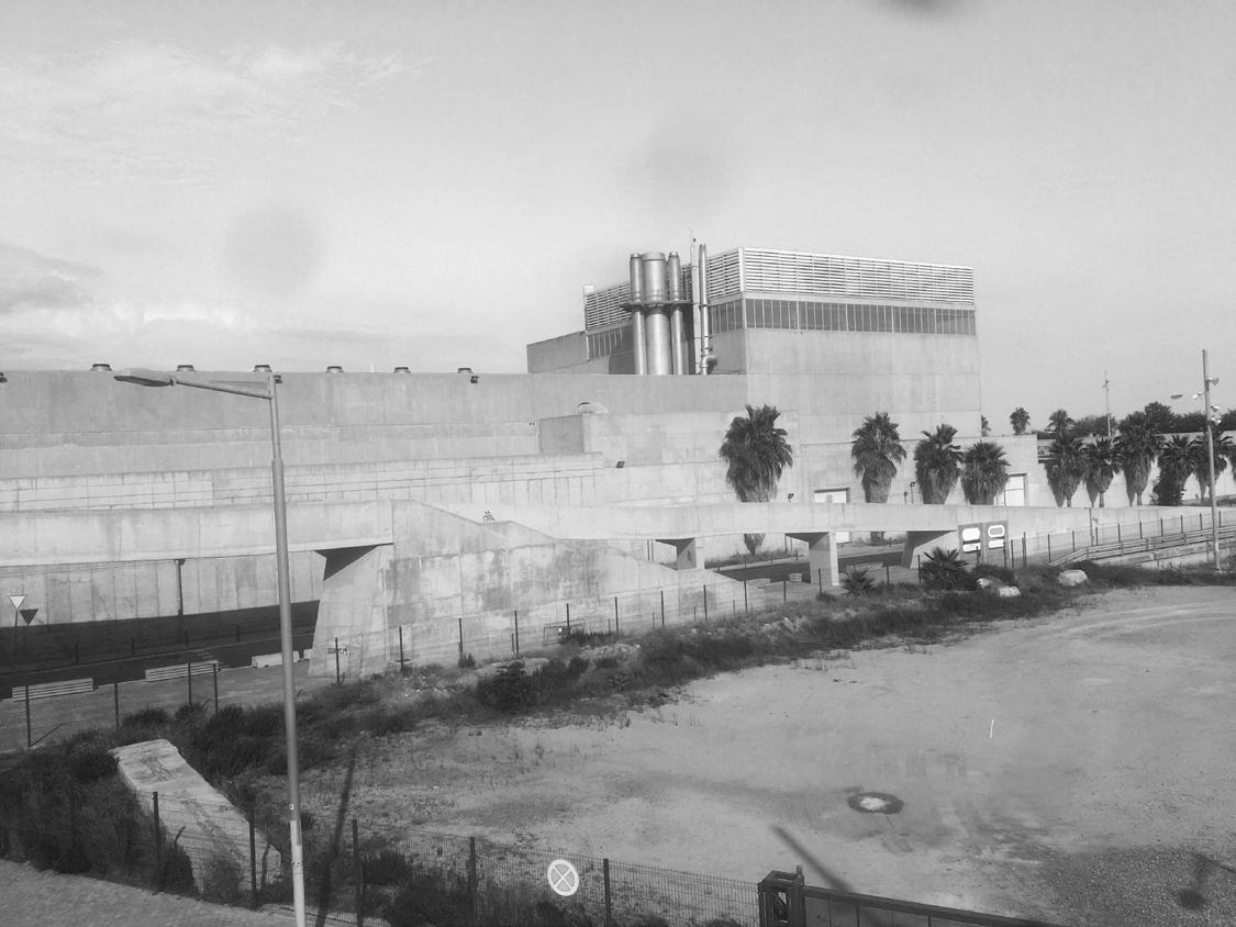
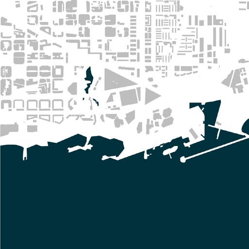
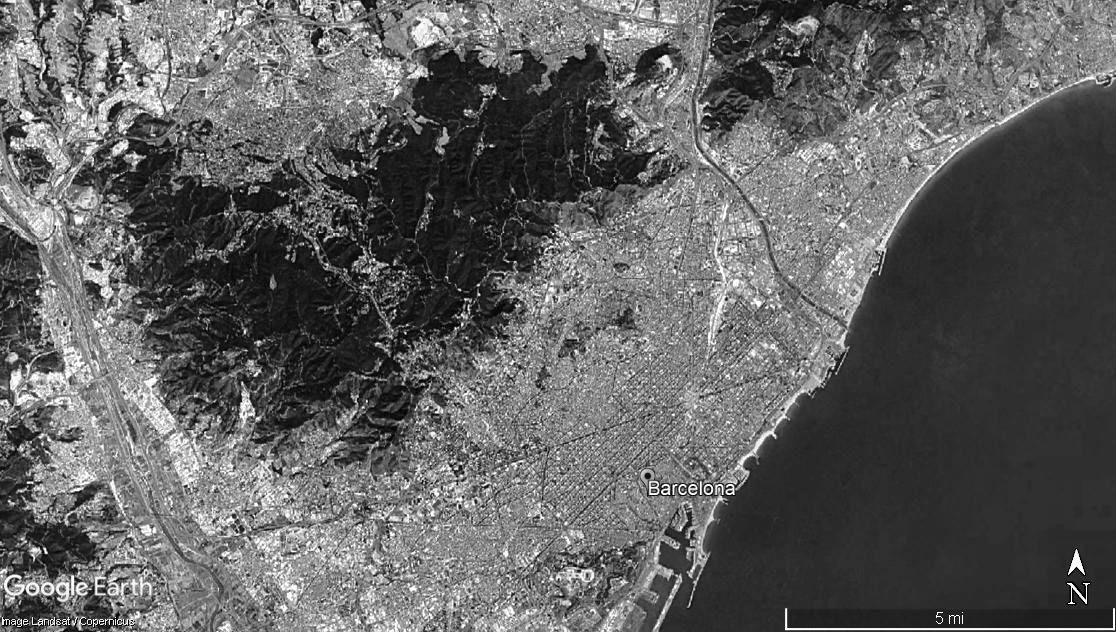
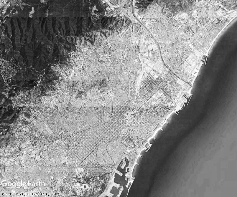
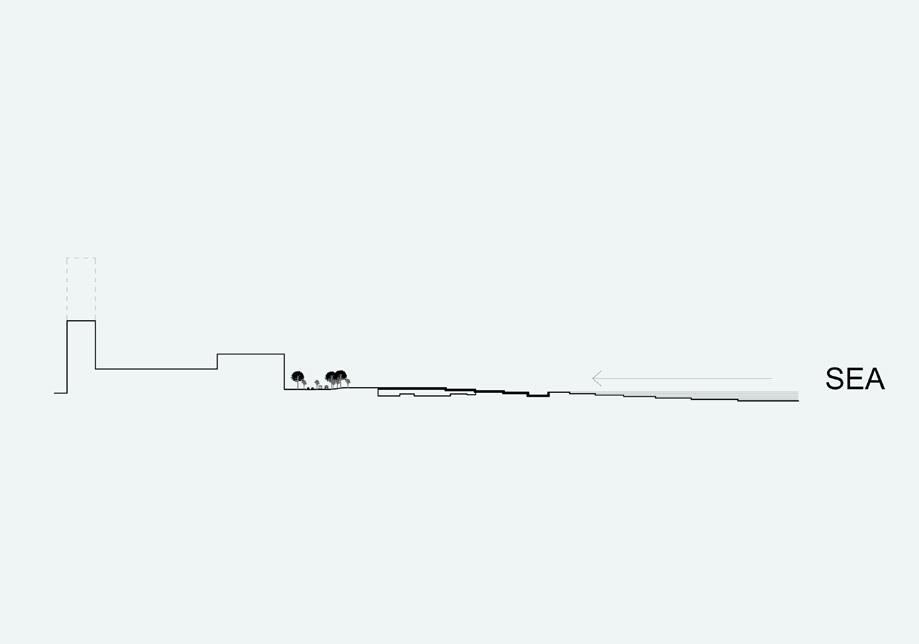
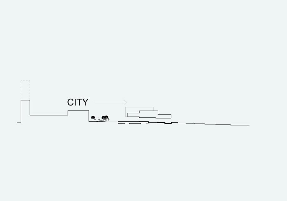
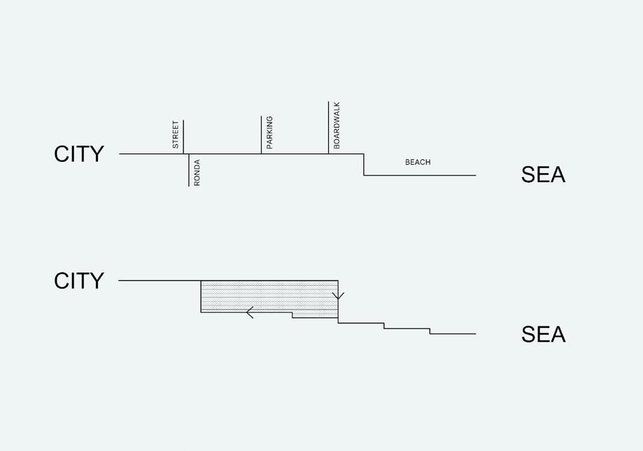
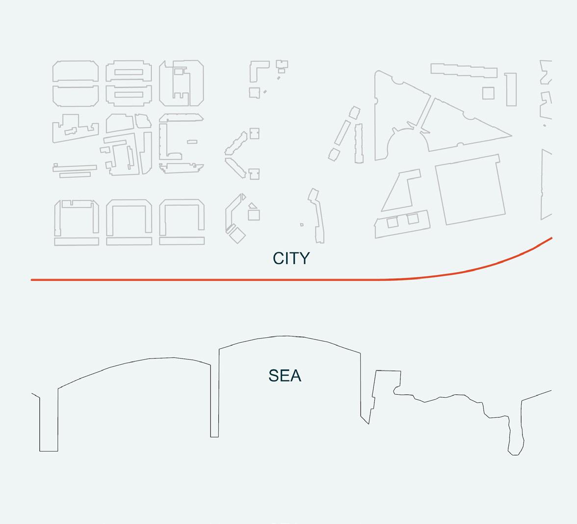
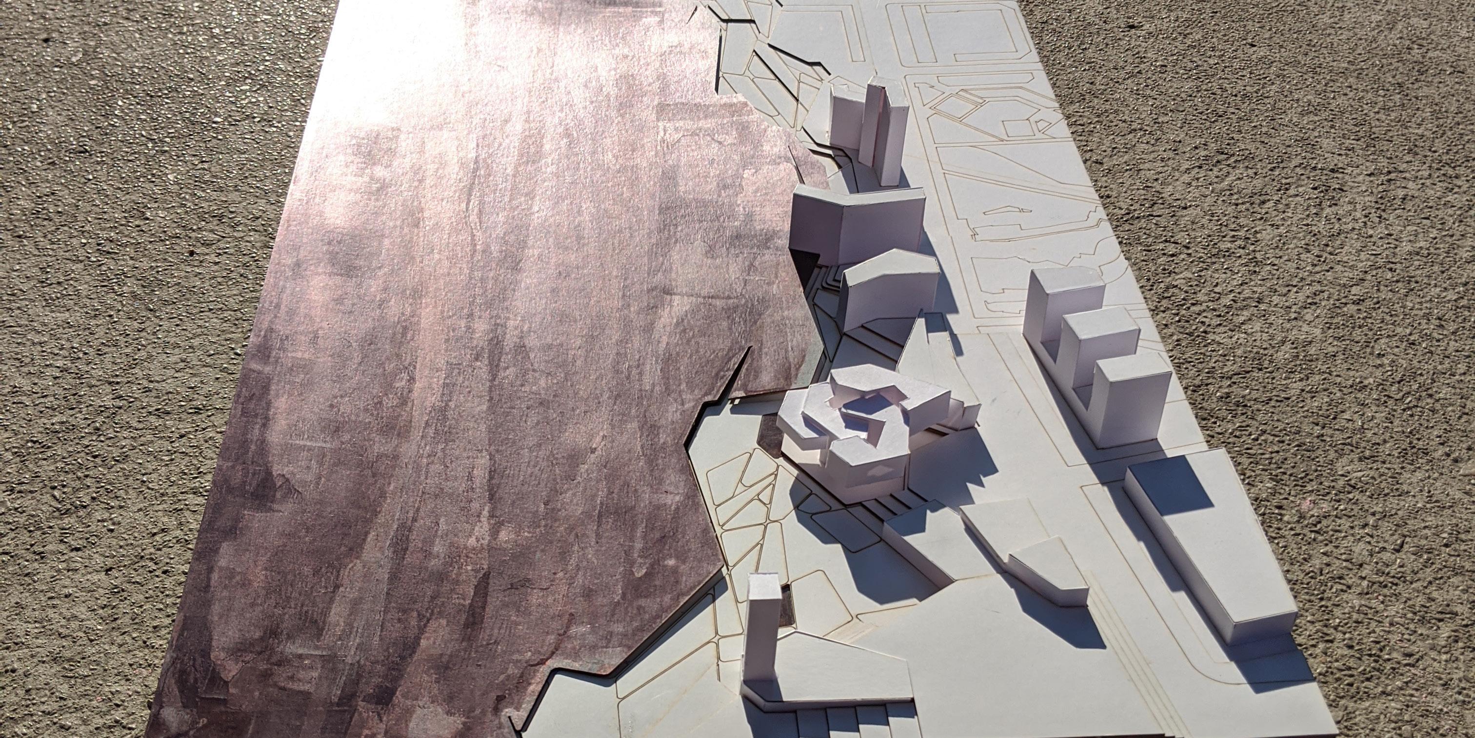
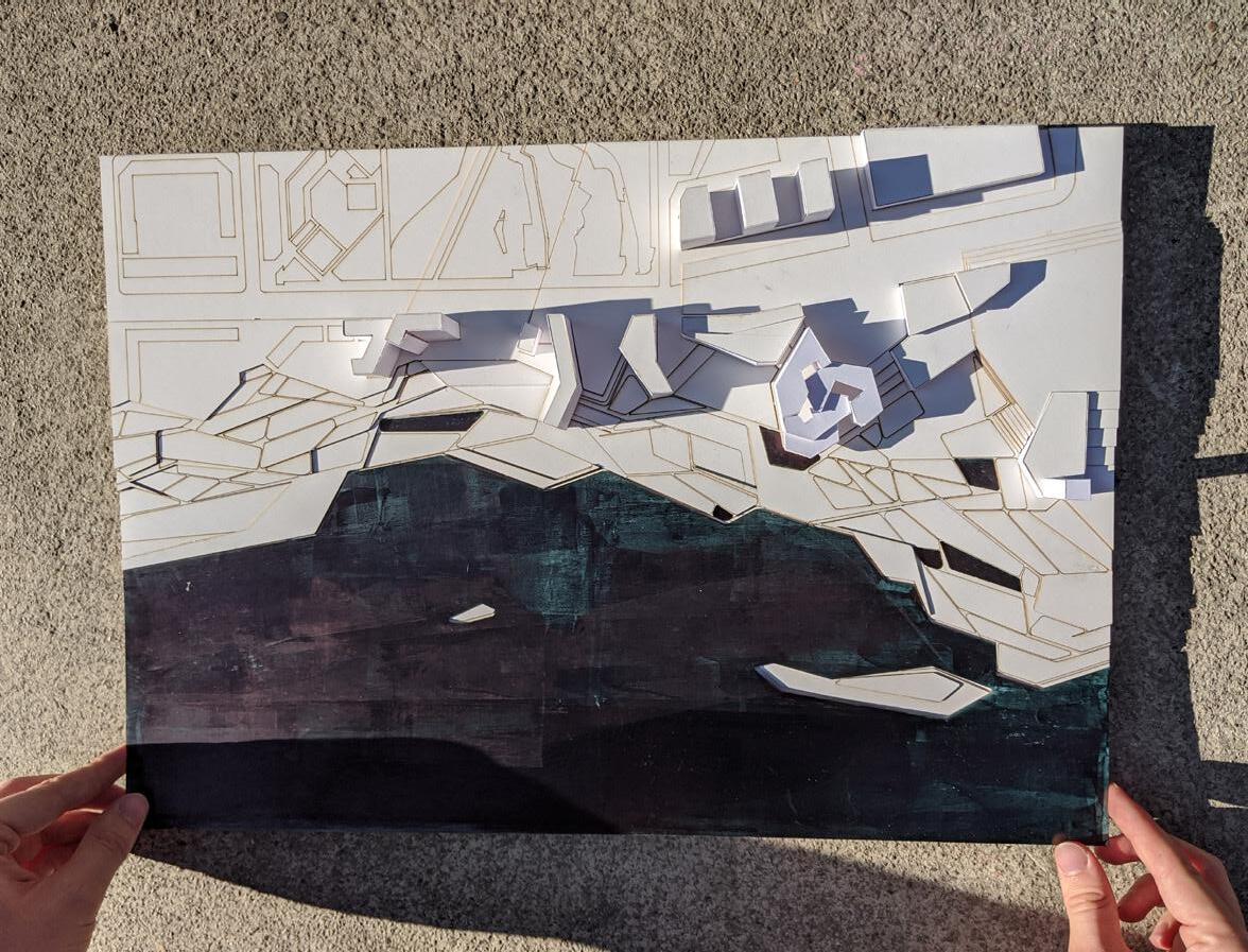
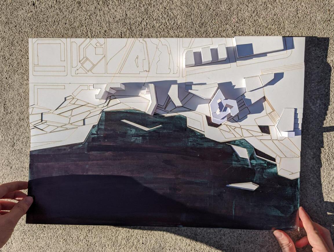
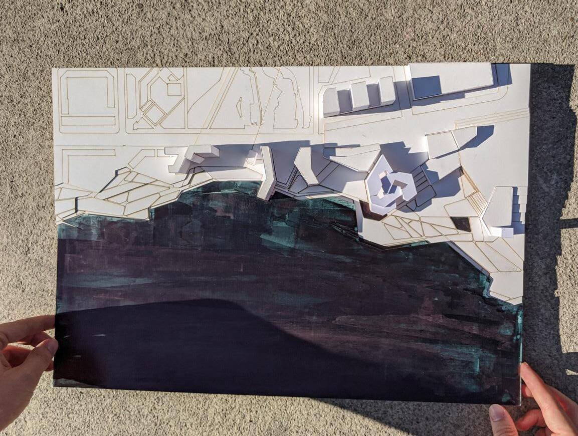
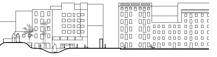
This course will be focused on one of the main historical urban topics of Barcelona. Barcelona is delimited by four main geographic borders. On the North side, the Collserola Mountain defines the biggest parc of the city and at the same time determines the limit of the city with the Valles region. On the East side, the Besos River creates today one of the most important access to the city and marks the division between the cities of Santa Coloma and Badalona. On the West side, the Llobregat river fixes the third natural limit of Barcelona. Finally, on the South side, the beach defines one of the most reviewed and rebuilt frames of the city.
The relationship defined between the city and the sea side has changed several times along with the history of Barcelona, and it hasn’t reached its final form yet. The studio wants to revisit and debate a variety of contemporary urban and landscape topics of the city of Barcelona
The studio will focus on five main topics:
1. Nature and City
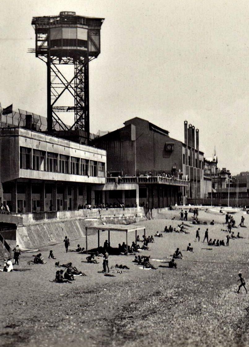
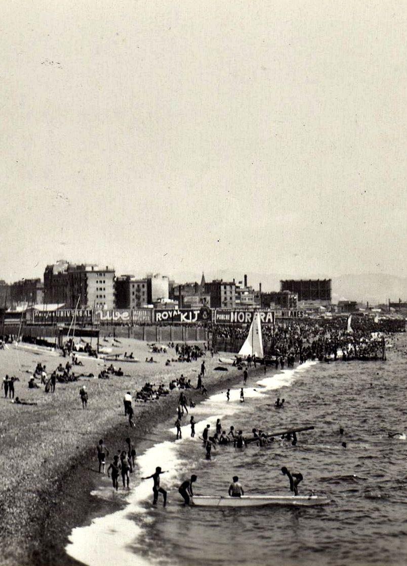
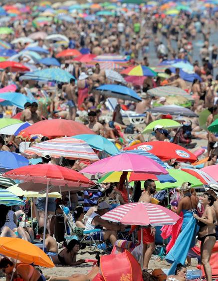
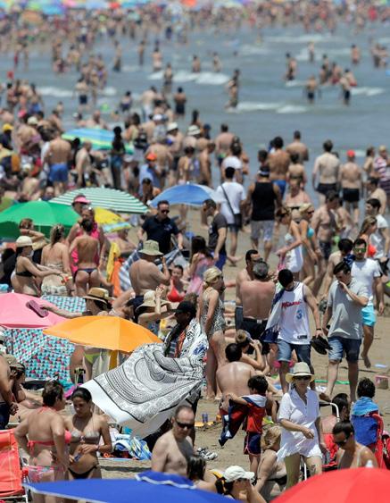
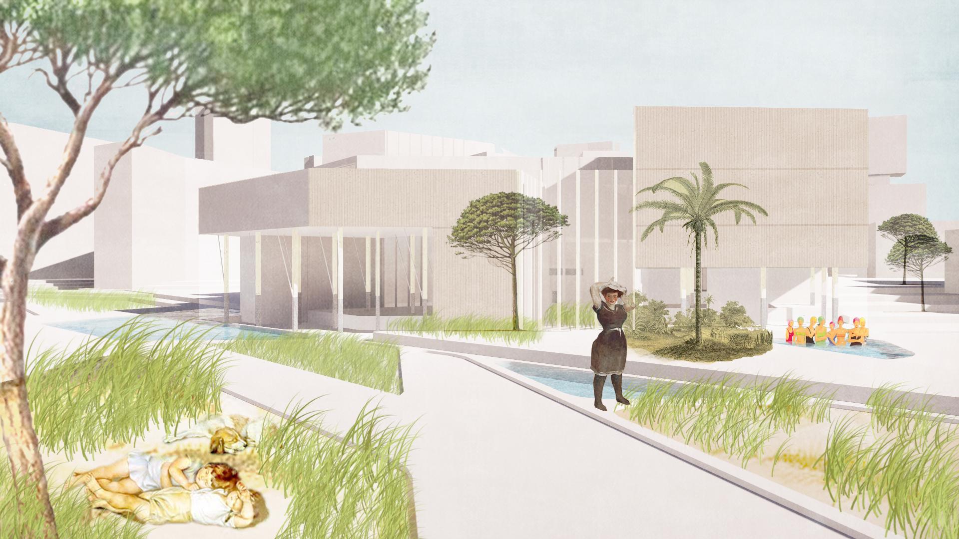
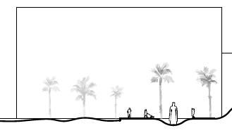
The beach is one of the most successful public space in the modern era since it creates the best civic pleasure place, where citizens meet to have leisure time together. The urban beach is a place where landscape and city are perfectly blended through naked bodies, sun, sand and water. This thin line between nature and built has been redefined since Romans created the city of Barcelona till today. An urban frame which his morphological condition has changed and effected the citizens behavior and character. From a dark, dense walled city protected from the Mediterranean invasions and wars to a light and airy city opened to the landscape after the Olympic Games in 1992. Today Barcelona is a city open to the sea.
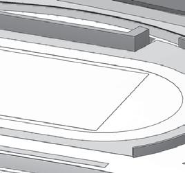
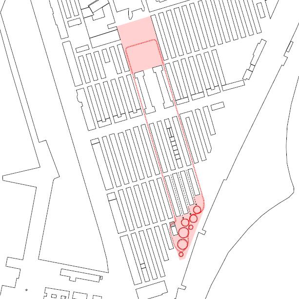
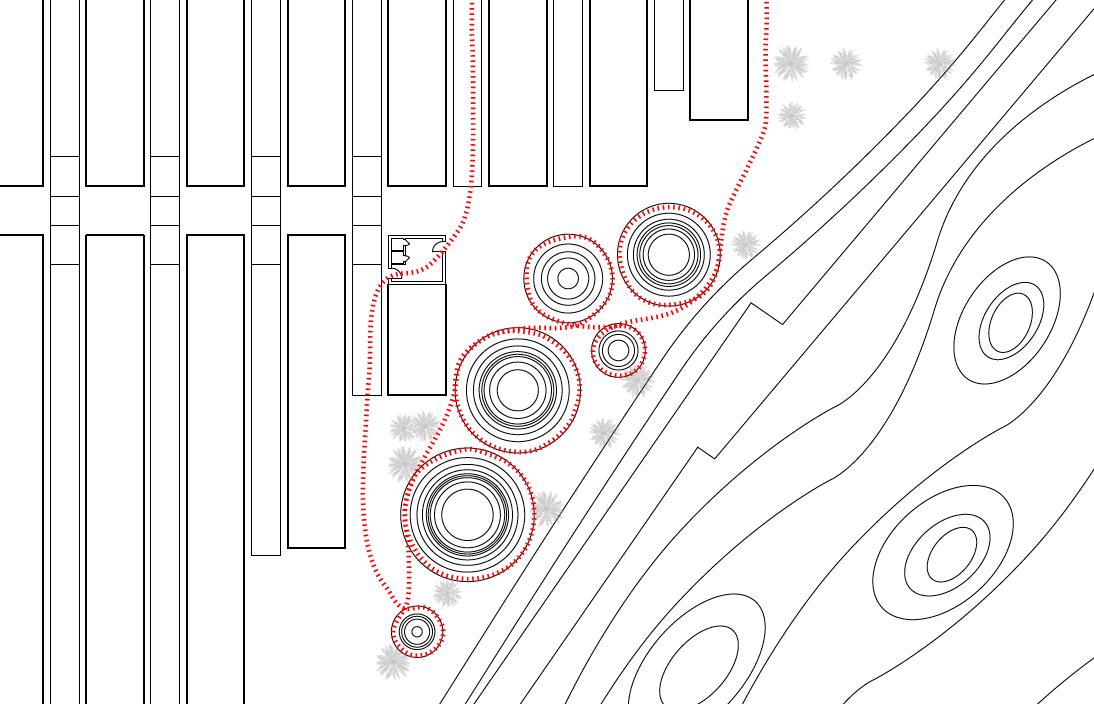
The studio site is placed at the old Marine Zoo platform, a spot gained into the sea that gives us the opportunity to rethink how this unstable line between nature and built can be redesigned. During the XVII century, the Barceloneta neighborhood was the city’s extension located at the border of the sea, but which other forms could the old Marine Zoo platform have taken? Was creating an extension of the city of housing and public spaces programs the only alternative there was? Could it have been be a big empty public space? The old Marine platform is an extraordinary opportunity for the dense city of Barcelona but, what kind of program has to have this place in order to deal with the city and the nature
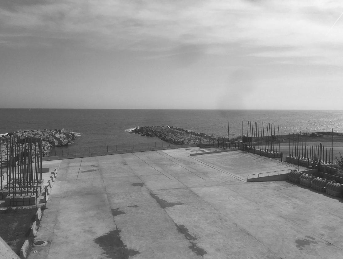
2. Sea Front. Public Space
In 1992 during the Olympic games, the head Barcelona architect Oriol Bohigas, planed a new façade for the city. He opened Barcelona to the sea. New beaches, seawalks… a new public space was discovered. Thanks to his urban strategy, Barcelona changed its relationship with its own environment and landscape. The framed city limited by rivers mountains and sea, had opened its main façade to nature, to the Mediterranean Sea.
This studio proposes to rethink the last sea-walk of the city that has not been designed yet. The space for such project is located in front of la Mar Bella and Litoral beach, which is currently a parking lot that claims to be redesigned. How will the sea-walk from la Mar Bella pavilion and the Marine Zoo platform have to look like? How will this sea-walk complete the sea-walks of the city? Will it need to finish or extended to the Badalona beach?
3. Inhabit Infrastructures
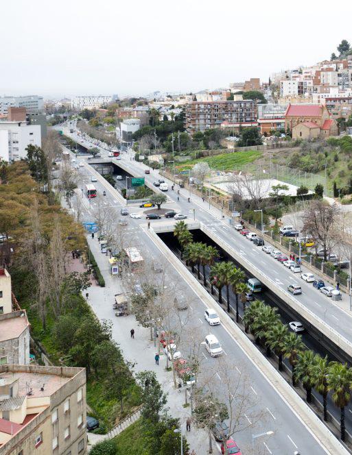
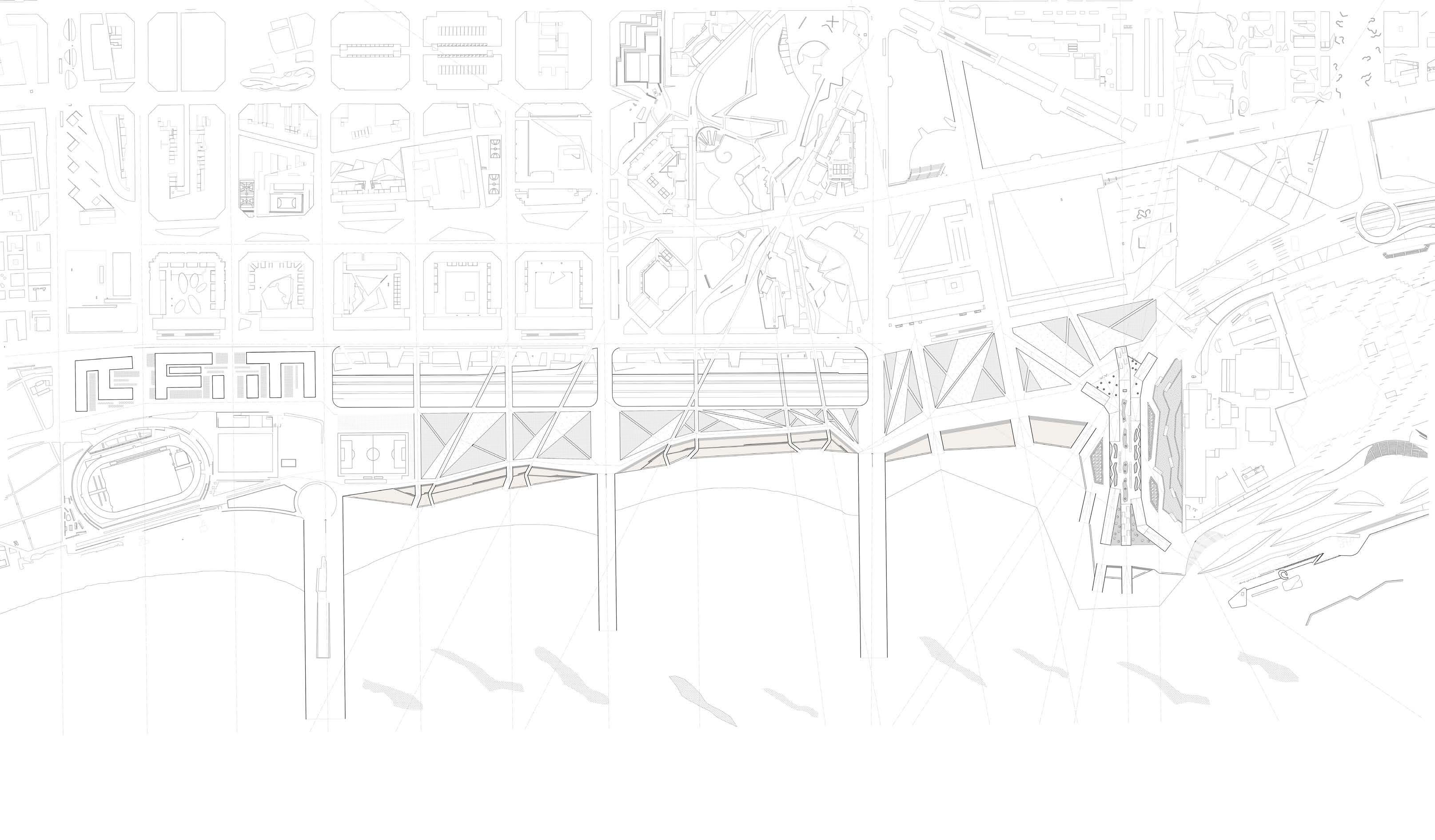
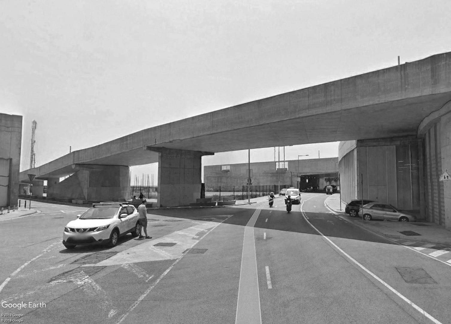
Barcelona is a good example of how to inhabit big urban infrastructures. The highway ring around the city, built in the eighties, was not only a new mobility solution for Barcelona, but also the opportunity to create new public spaces. This important infrastructure that created a new circular condition to Barcelona, defined new relationships between neighborhood disconnected till that moment. The ring created a new circular condition to Barcelona mainly defined by a city grid of the Eixample.
Last year, the topic of the CTPA, (the design think tank created by Barcelona Regional, “BR”) was: “DesCobrir les Rondes” (the ring highway), focusing the course on how this infrastructure can be anew new green corridor. Now with our studio site, it is time to rethink how the highway can be not just a trench between the city and the sea. Can this infrastructure link the city with the beach? How can we jump the trench?
4. Mobility.
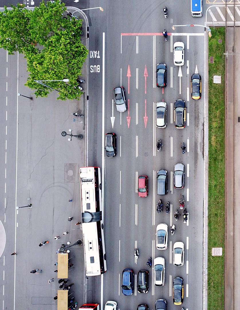
The mobility in the cities is changing. Barcelona, like all the important cities in the world, is and will be affected by new mobility methods. The old veins of the city will need to be redesigned for those new transport systems. Will we live in a post car city? What will we do with the cars? What will we do with the old parking lots and garages? What about the streets and highways? Where will we park our cars before entering into city? Our studio site is the opportunity to think about how new methods of transportation will impact the cities.

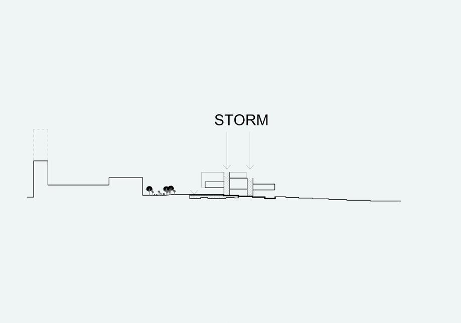
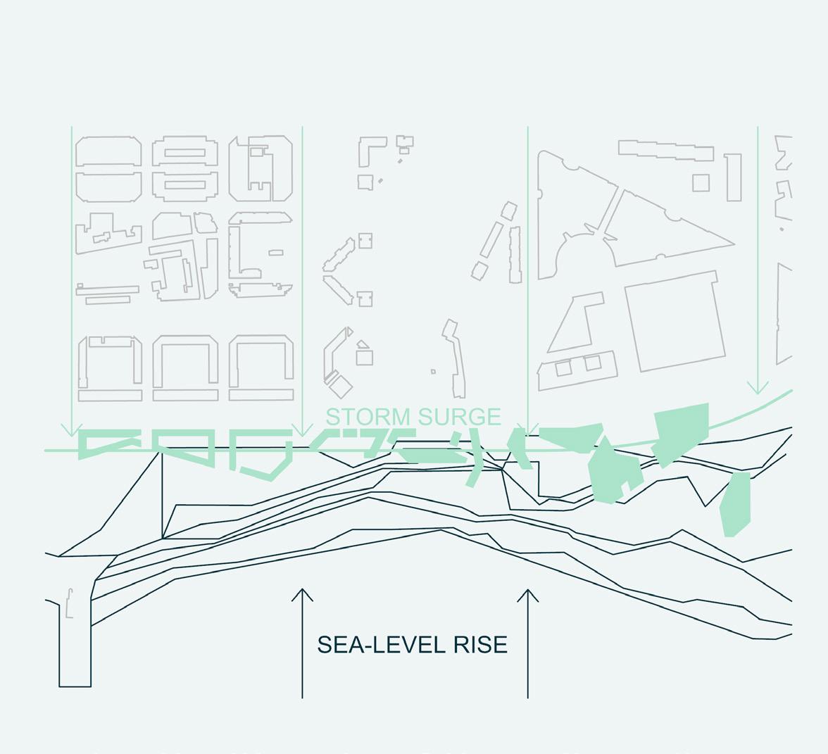
5. Climate Crisis
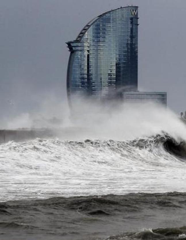
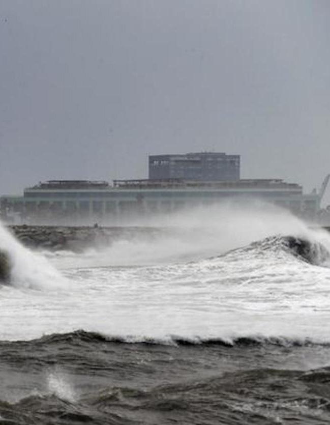
The Mediterranean ocean is also under the effects of Climate Change. The Third Catalan Report regarding the Climate Change pronounces a new water level rise of 1’8m above actual sea level, that will have taken place by the end of this century. This report predicts deep future problems with potable water in the Mediterranean area. The increase of the temperature will define another climate with a new rainfall index with long dry periods. Today the Company “Aigues de Barcelona” (Water of Barcelona) is building a new modern potable system to prevent dry periods but, how does that effect in the design of a new neighborhood in Barcelona? Any urban action in Barcelona will have to consider the Climate Crisis. Barcelona can’t keep growing without taking care of the poor environmental conditions
Last July the EU (European Union) has denounced the Barcelona Council for the bad air conditions. The EU has demanded the courts to convict Barcelona council to pay a penalty of 1.600 million Euros for its bad policy.
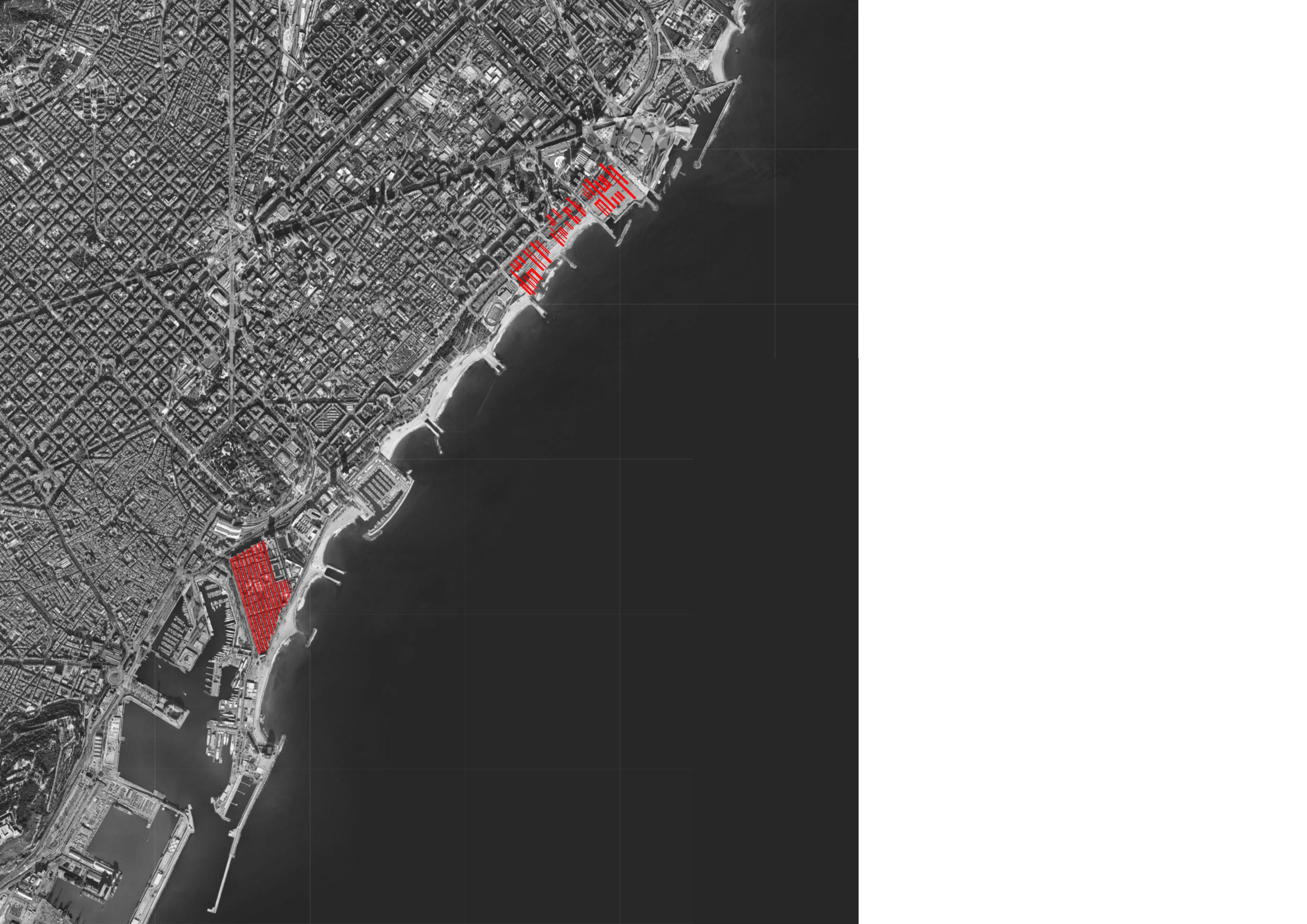
FALTA EMPLAZAMIENTO
EMPLAZAMIENTO
SITE LOCATION
PROPOSALS
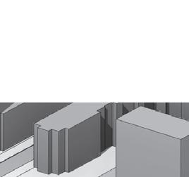
MODERN BARCELONETA 30
OCCUPY RONDA LITORAL 78
MPGE 59

EXTENTION 120

DESILACHAR LA COSTA 156
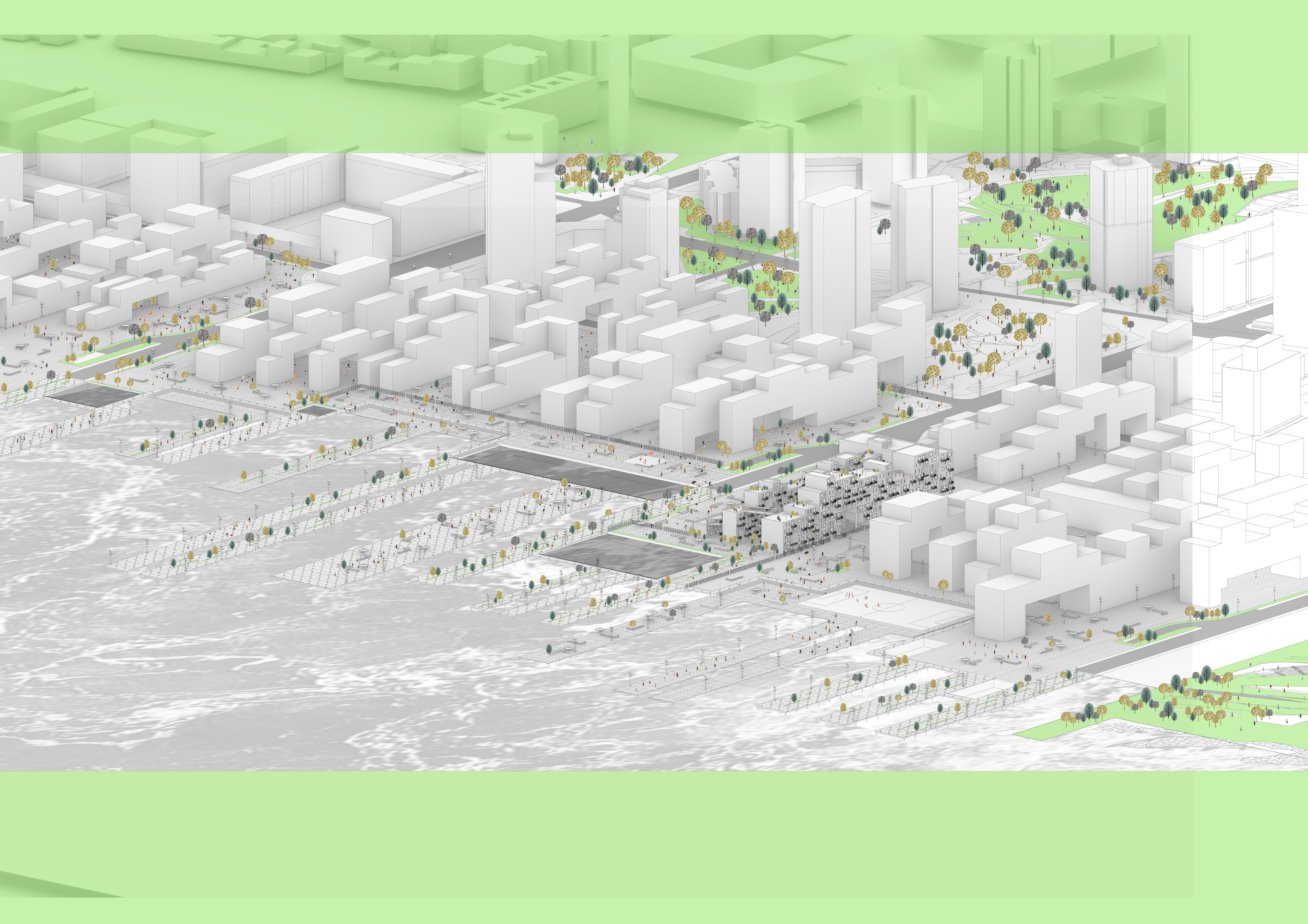
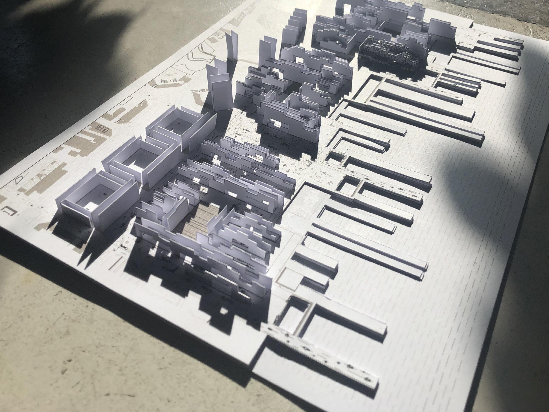
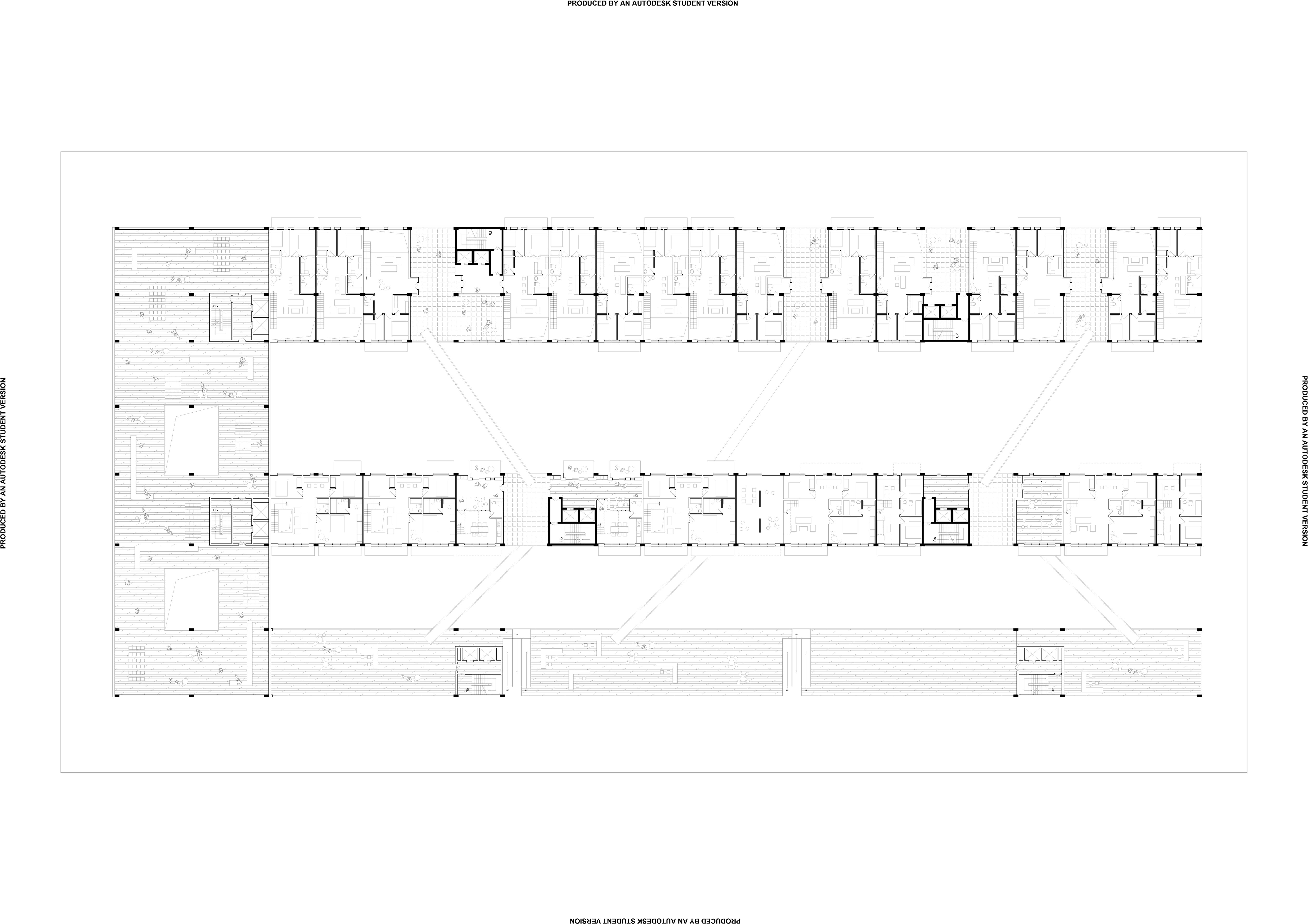
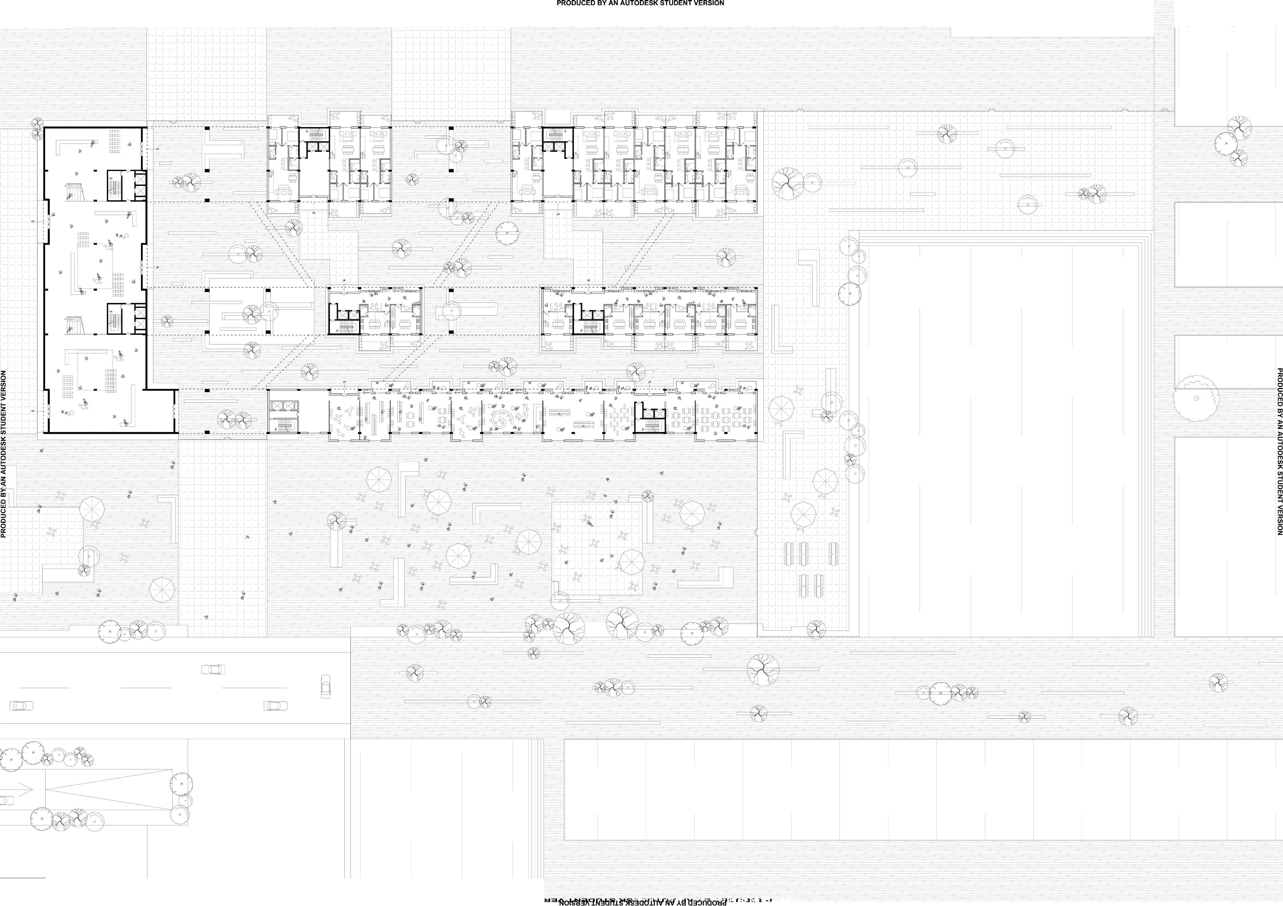
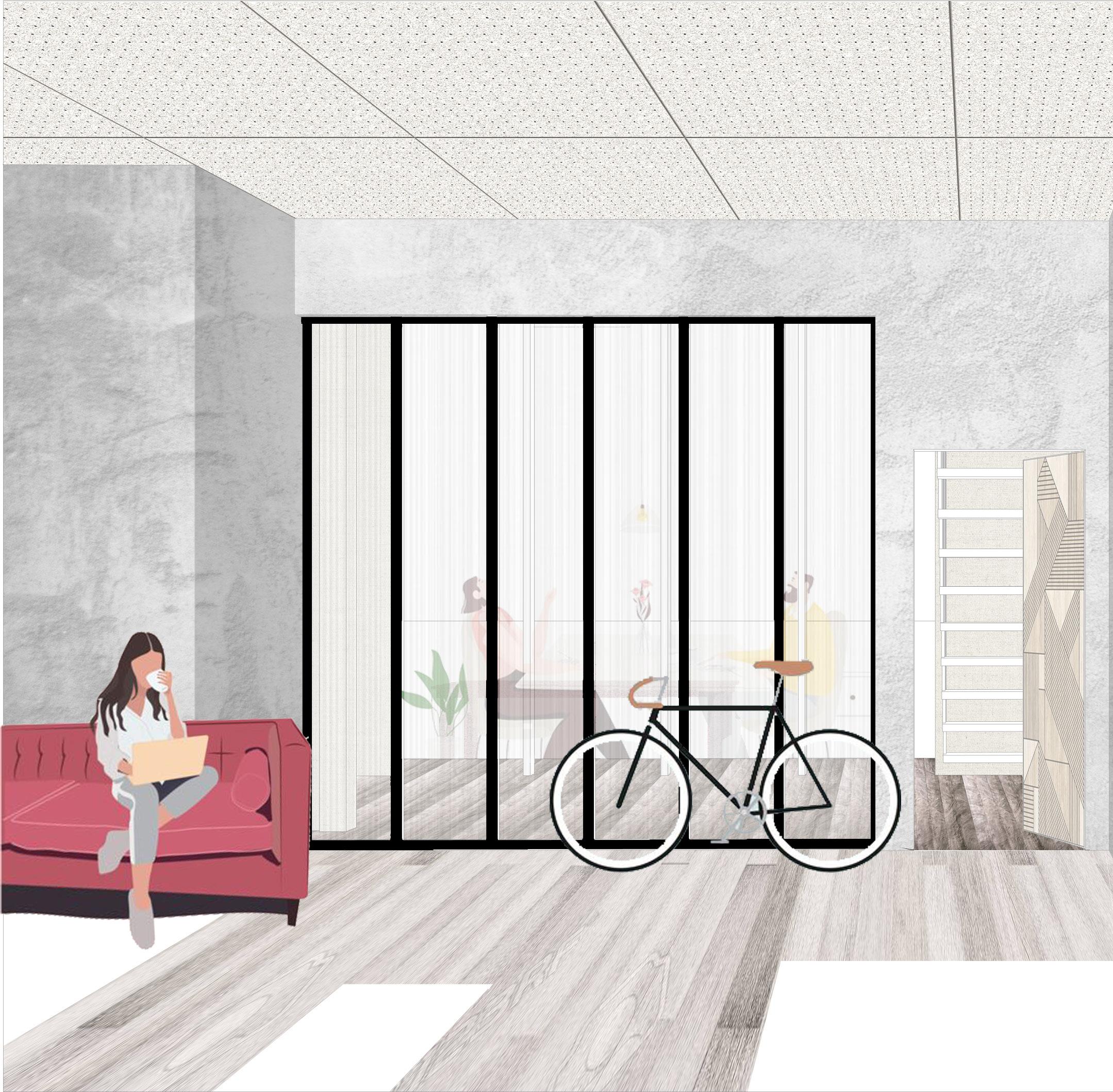
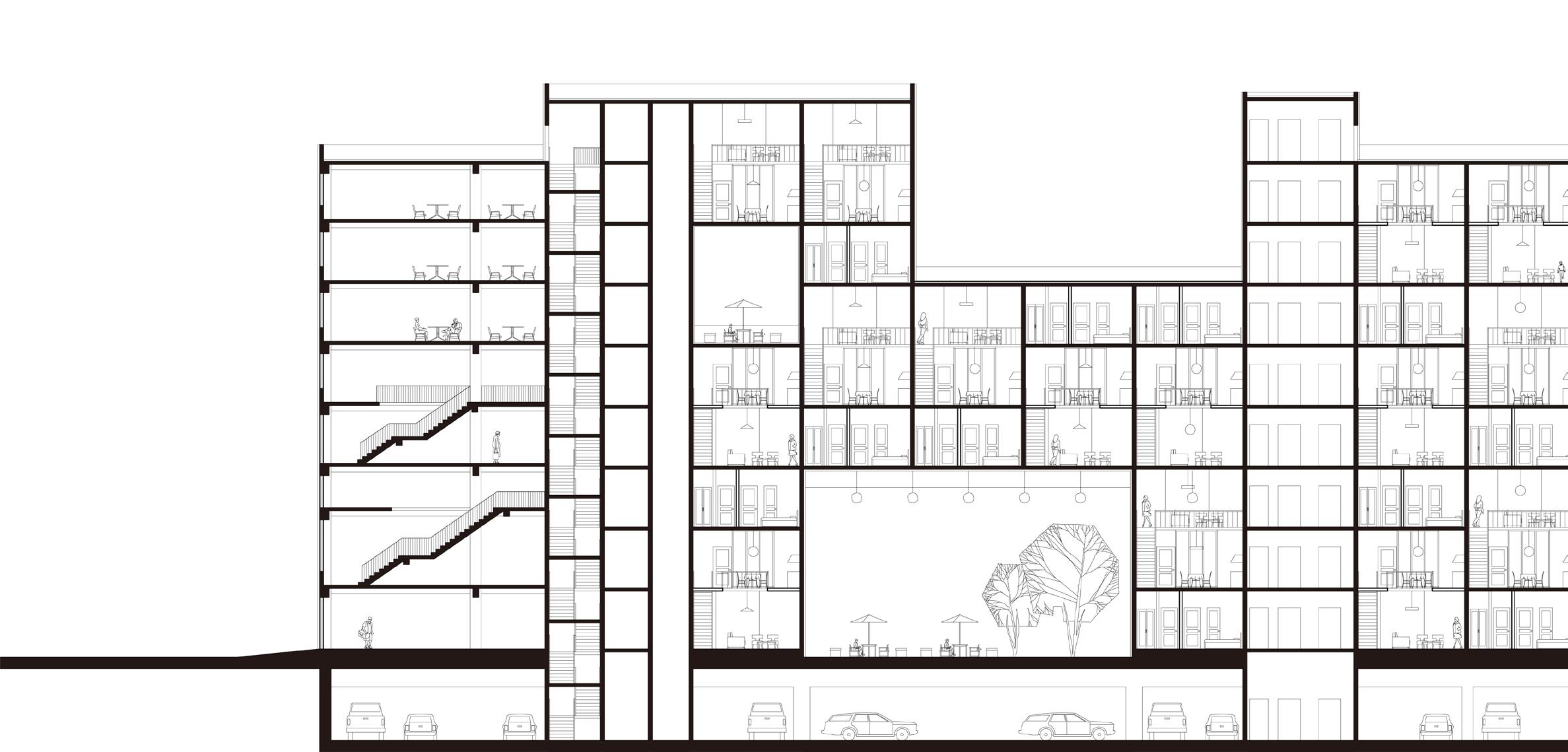
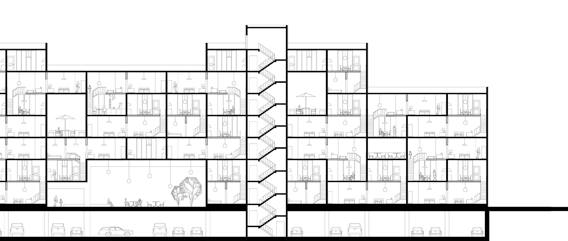
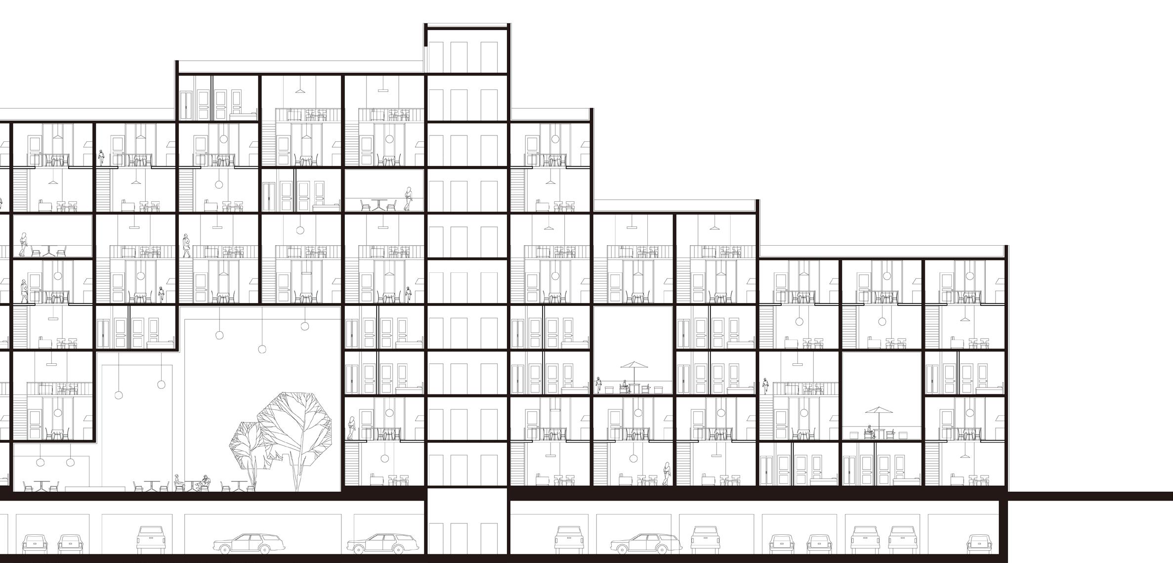
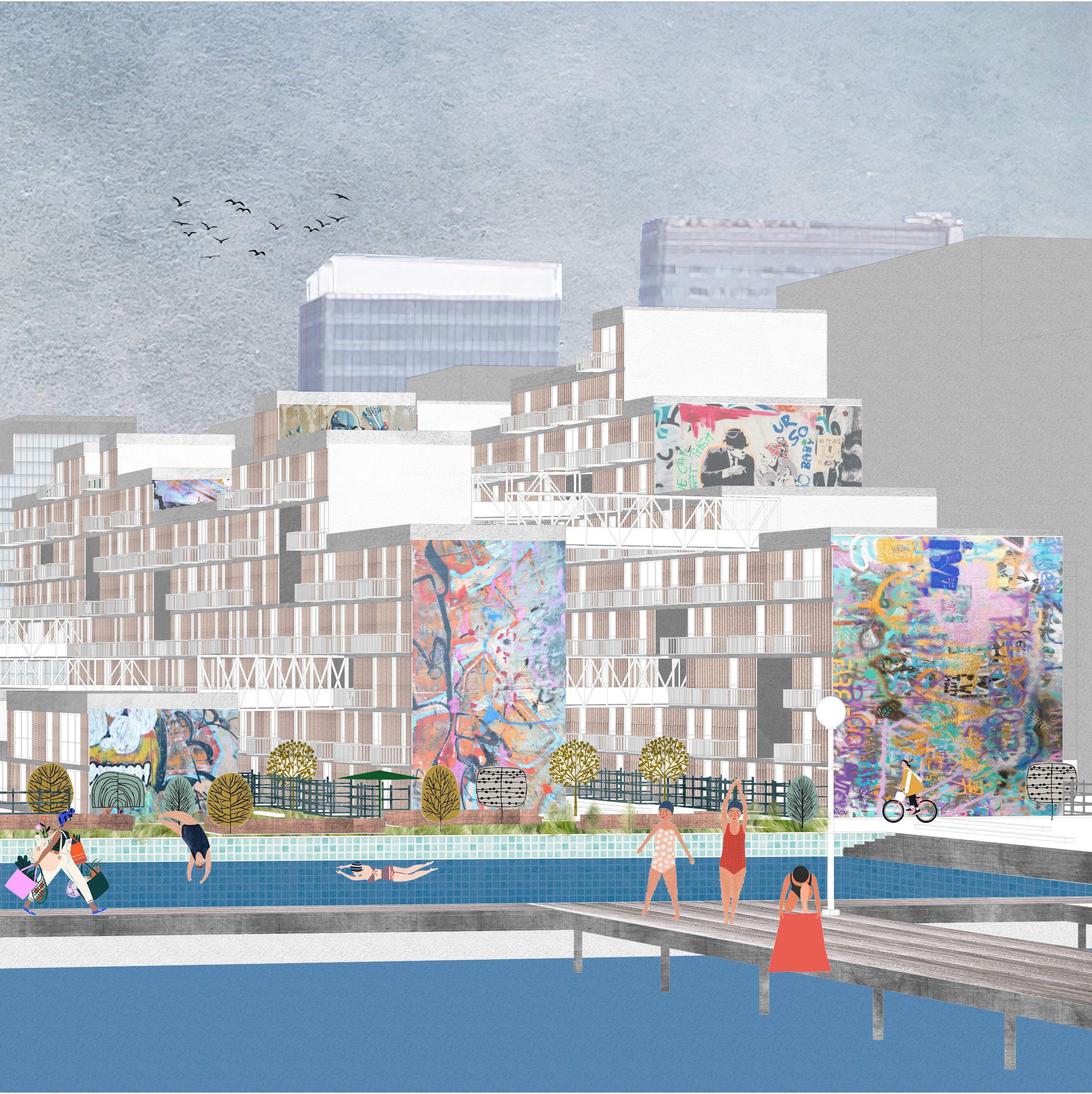
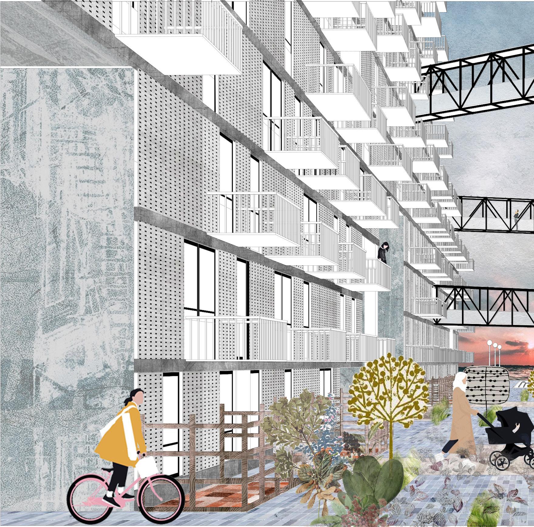
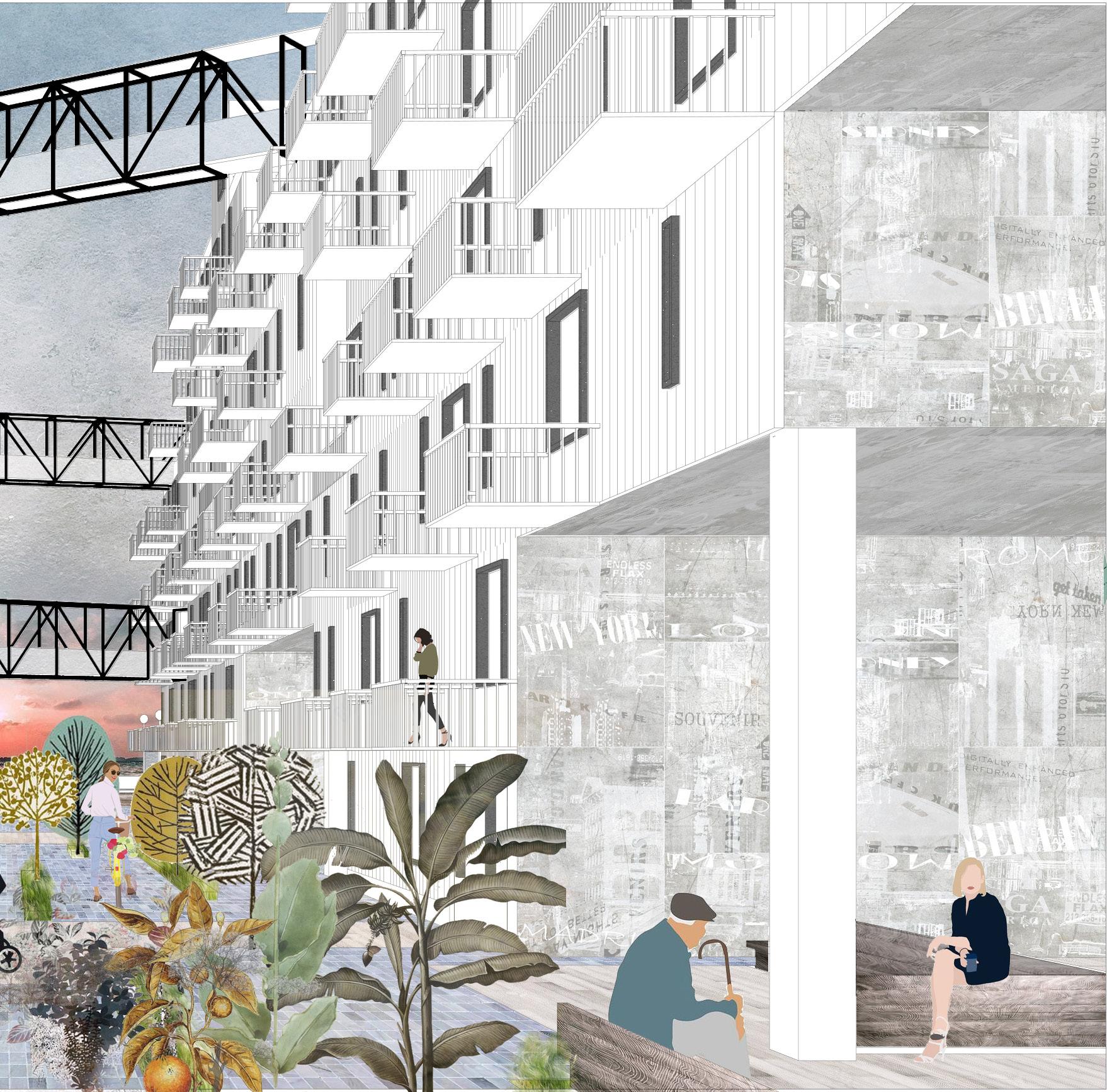
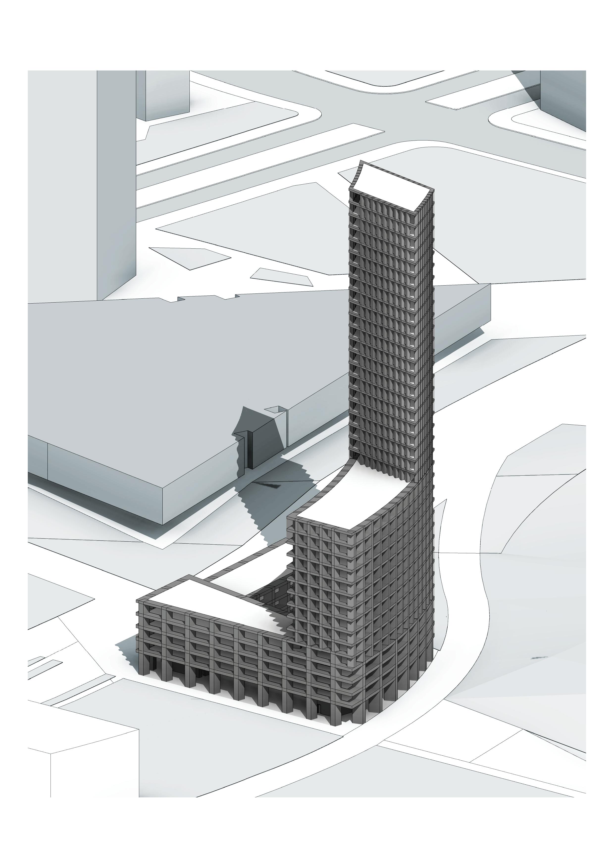
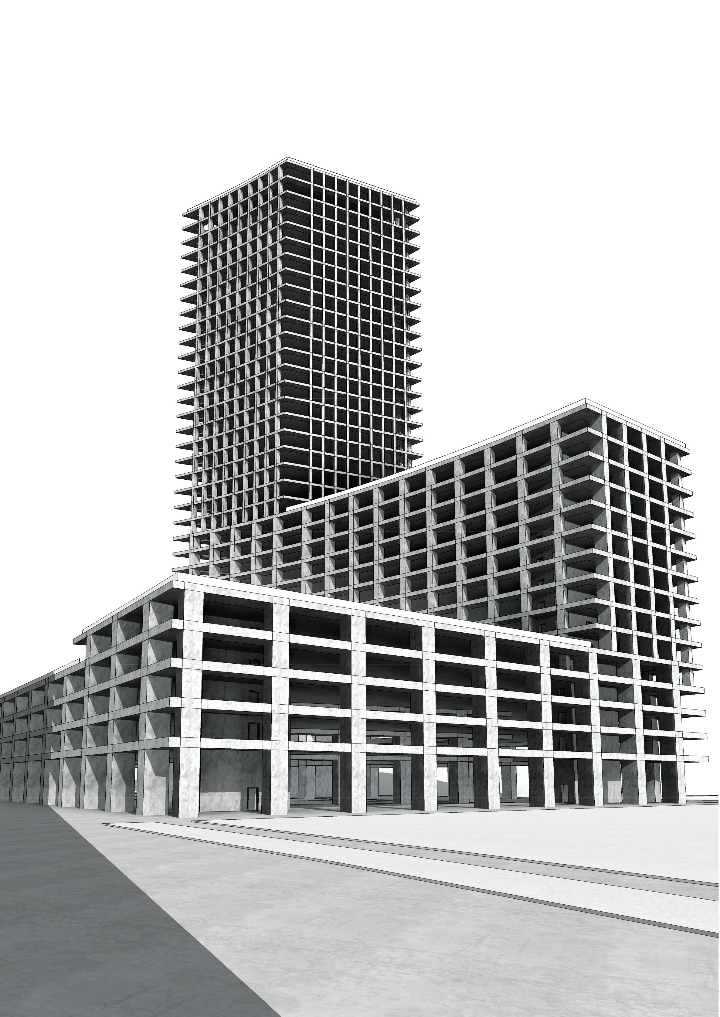
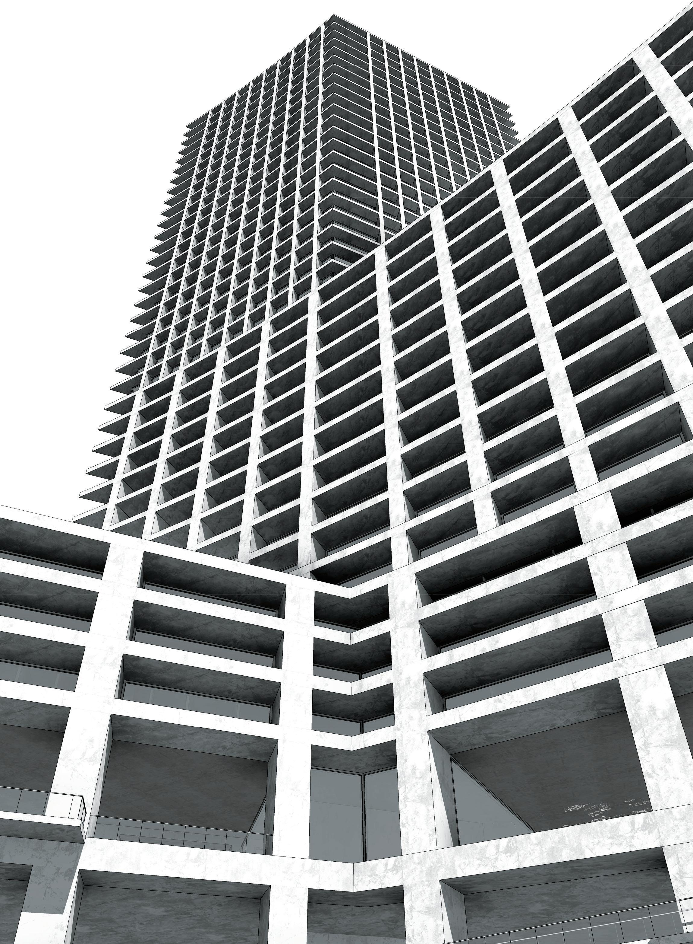
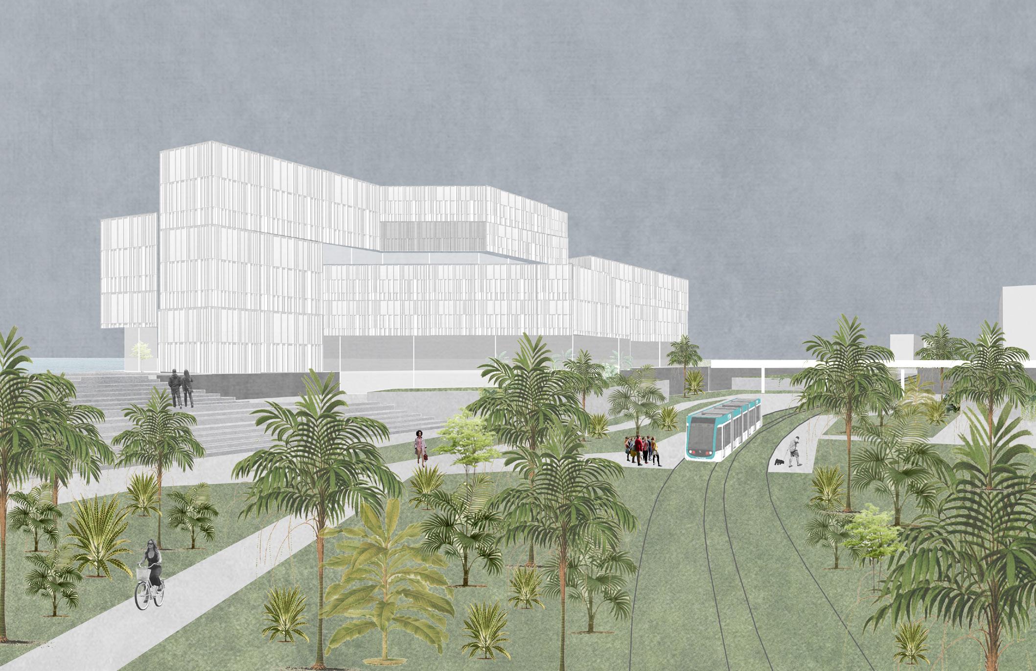
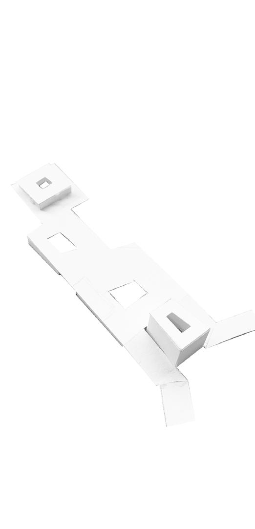
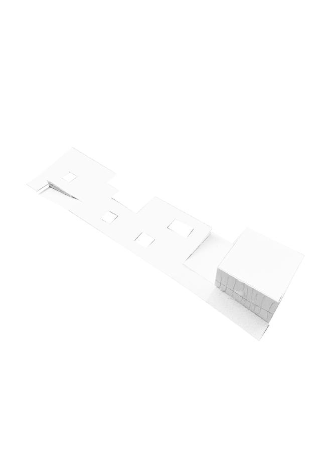
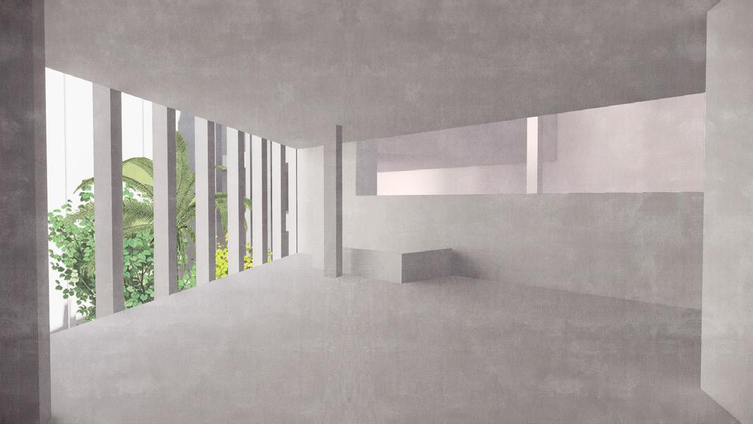
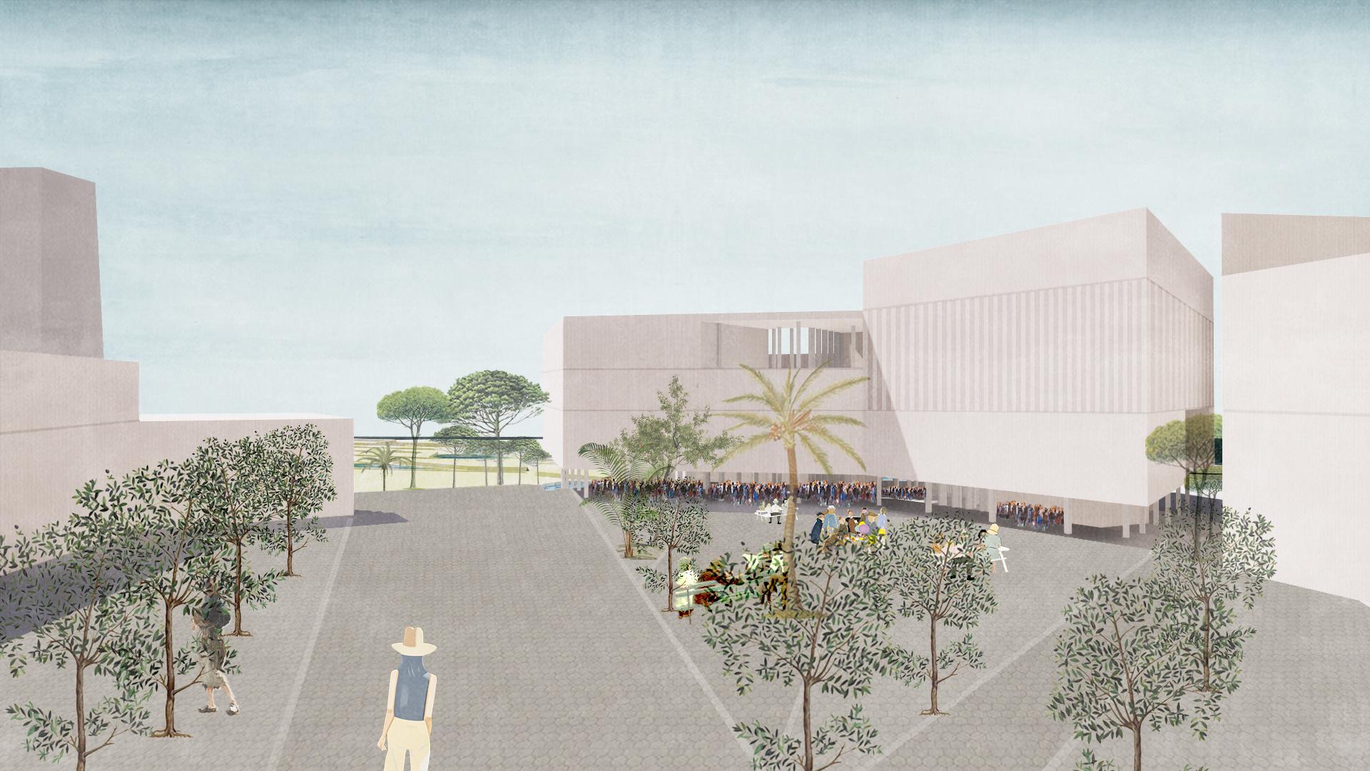
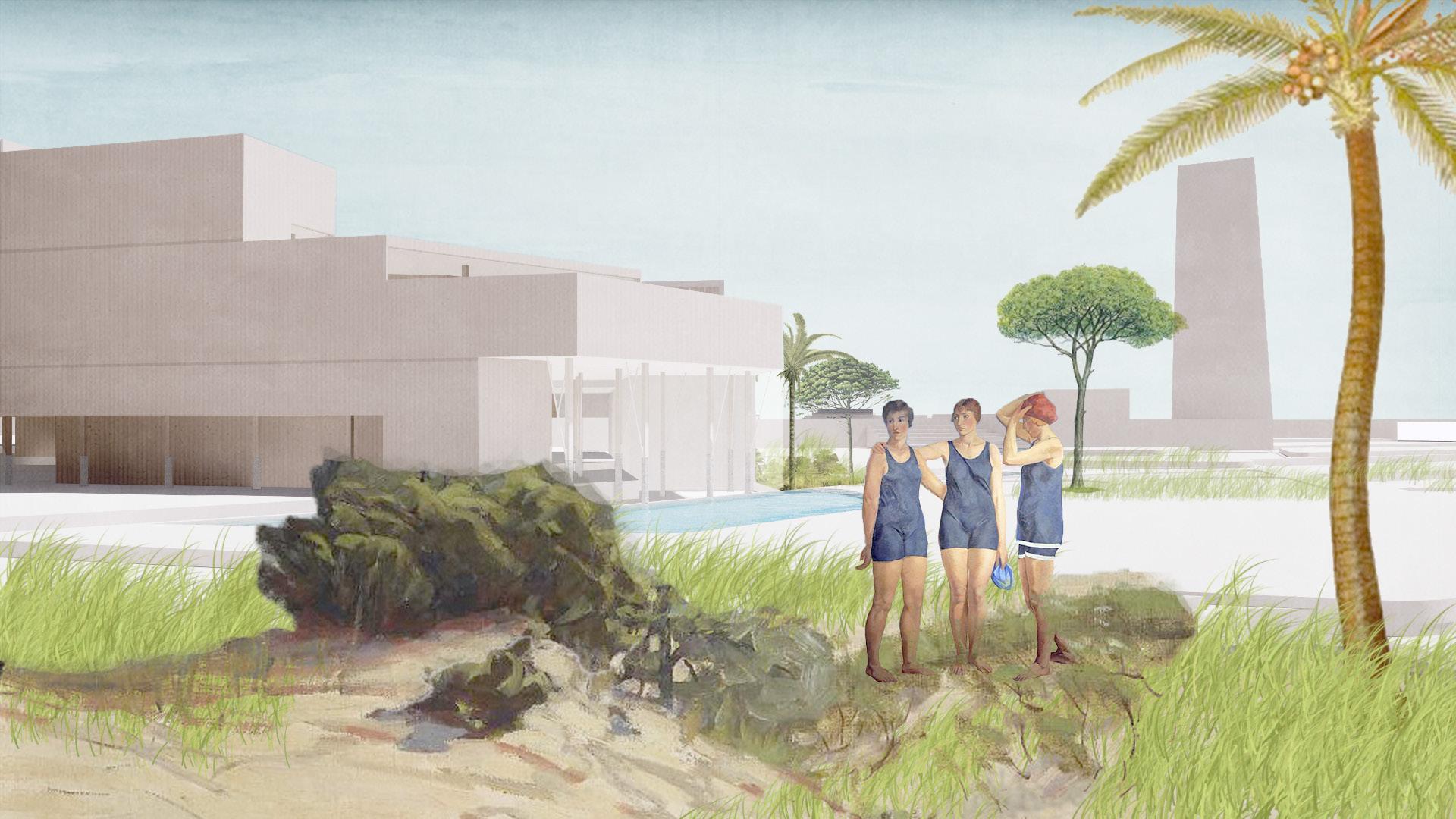
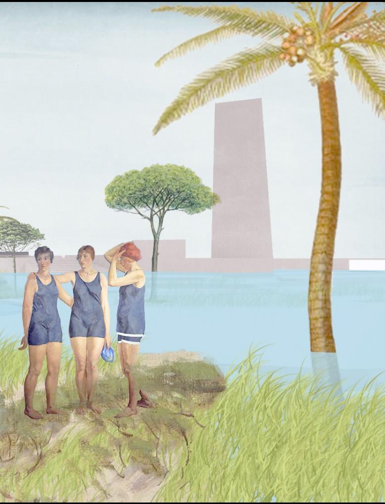
This project aims to connect the city and the sea as a starting point to deal with this special site located on the Barcelona coastline. The proposal uses Barceloneta as a reference to study its regional planning, plan organization and units composition, and it is translated in the studio site using modern architectural language.
This scheme takes residential design as the main program, focusing on how the private program adapt to the environment and how to divide the public space with different open degrees when it is located on the public coastline, which can not only meet the use of residents, but also for the city to provide a good seaside space for tourists.. The scheme is based on the development of a grid system, and has fully researched and interpreted in the urban scale, street scale, and human scale. At the same time, this solution attempts to break the grid and form its own unique spatial rhythm, giving people a fresh spatial experience.
30 University of Virginia
YUNFAN YANG & QING FENG
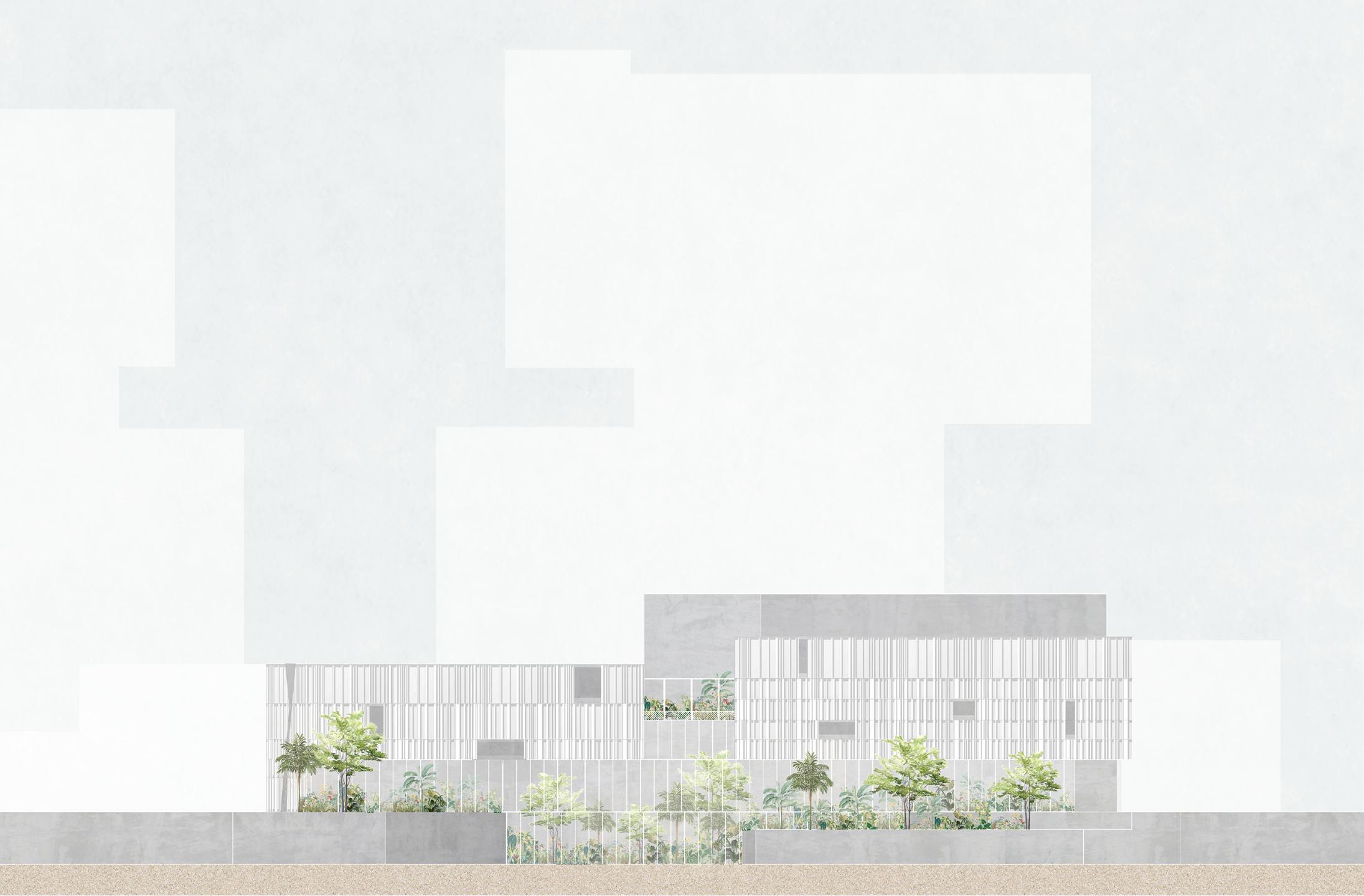
YUNFAN YANG & QING FENG BADALONETA 31 MODERN BARCELONETA
MODERN BARCELONETA
YUNFAN YANG & QING FENG
MODERN BARCELONETA
34 University of Virginia
YUNFAN YANG & QING FENG
STRATEGIES
BADALONETA 35 MODERN BARCELONETA
YUNFAN YANG & QING FENG
CONCEPT
CONCEPTS, IDEAS, KEY WORDS
BADALONETA 37 MODERN BARCELONETA
38 University of Virginia
YANG & QING FENG
DIAGRAMS YUNFAN

MODERN BARCELONETA
YUNFAN YANG & QING FENG
FLOOR PLANS
MODERN BARCELONETA
YUNFAN YANG & QING FENG
FLOOR PLANS
MODERN BARCELONETA
PLAN YUNFAN YANG & QING FENG
SITE
MODERN BARCELONETA
YUNFAN YANG & QING FENG GROUND FLOOR PLAN
46 University of Virginia
BADALONETA 47 MODERN BARCELONETA
48 University of Virginia YUNFAN YANG & QING FENG
BADALONETA 49 MODERN BARCELONETA
50 University of Virginia YUNFAN YANG & QING FENG
BADALONETA 51 MODERN BARCELONETA
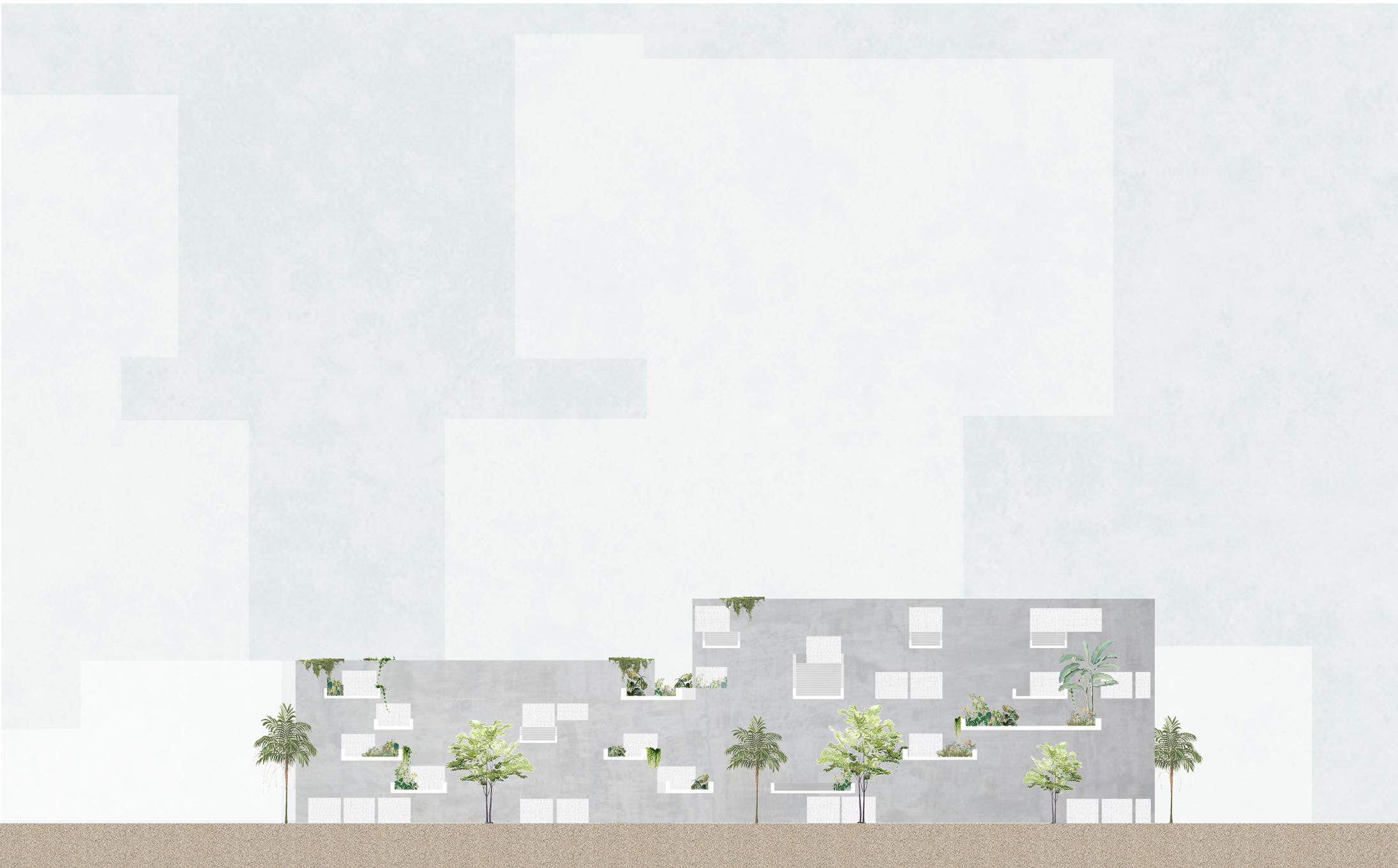
52 University of Virginia YUNFAN YANG &
QING FENG SECTIONS
BADALONETA 53 MODERN BARCELONETA
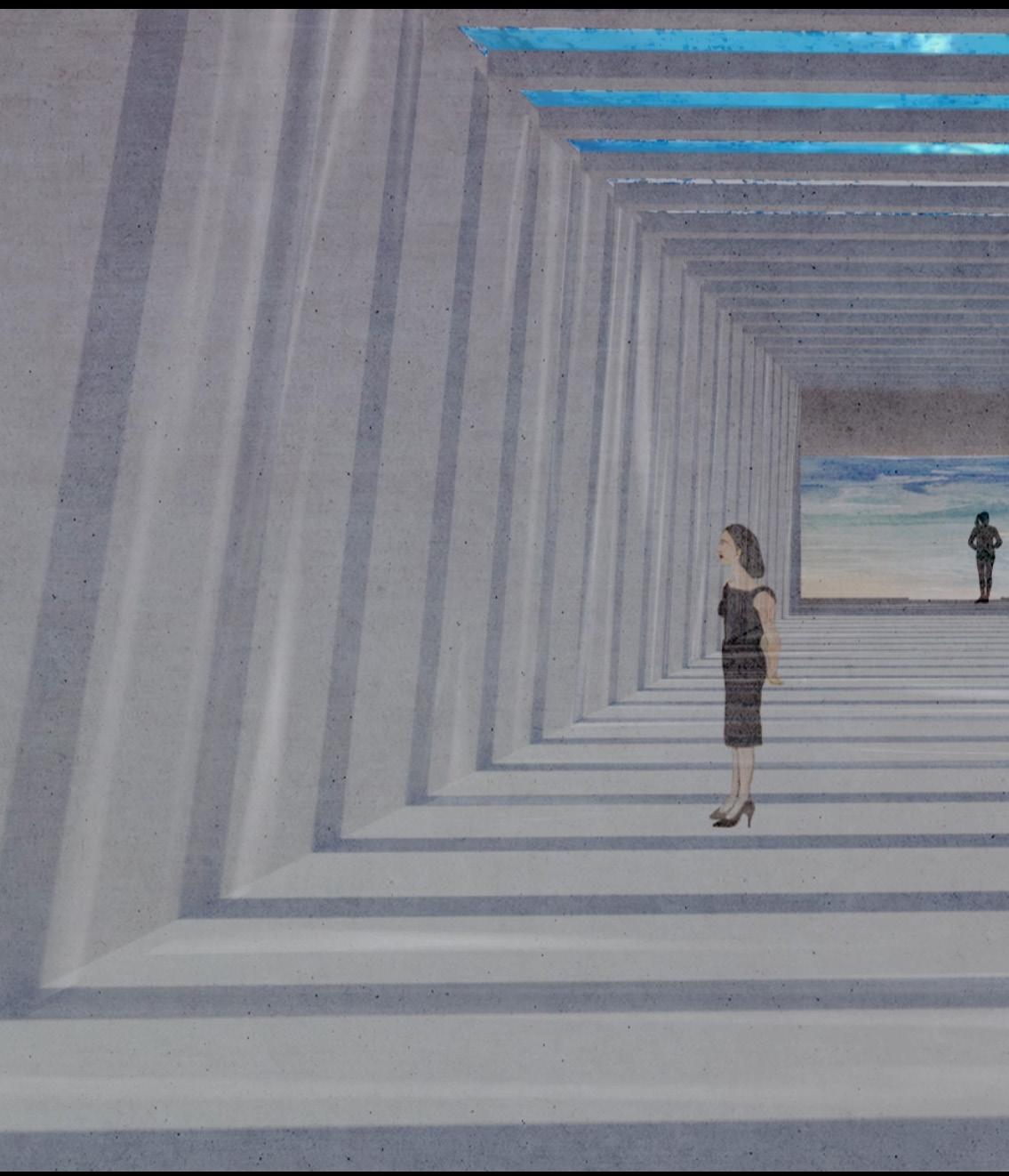
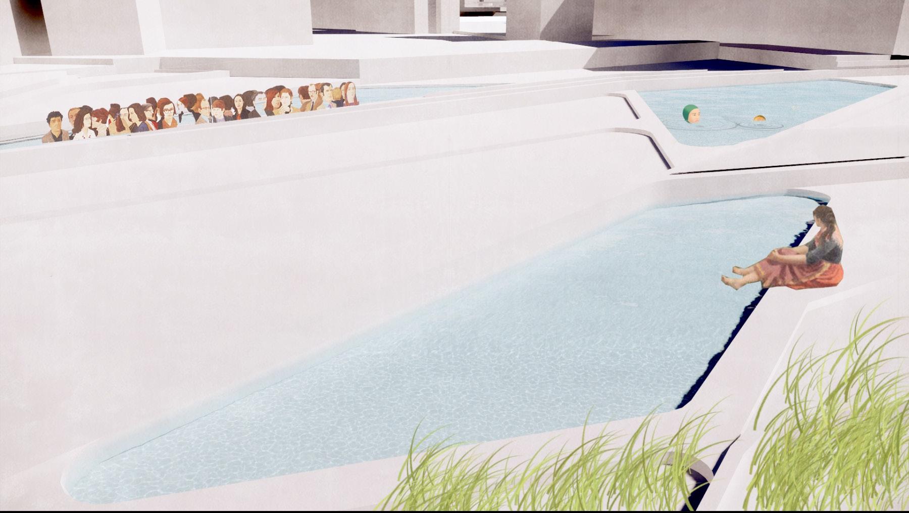
ATMOSPHERES
54 University of Virginia
BADALONETA 55
ATMOSPHERES
56 University of Virginia
BADALONETA 57
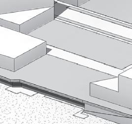
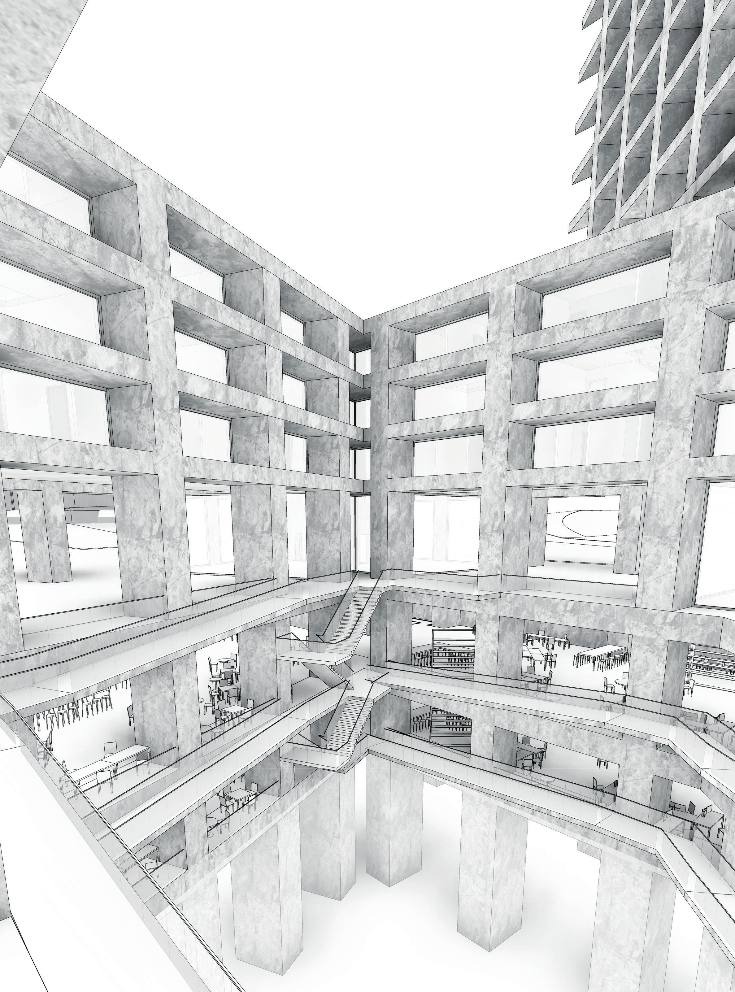
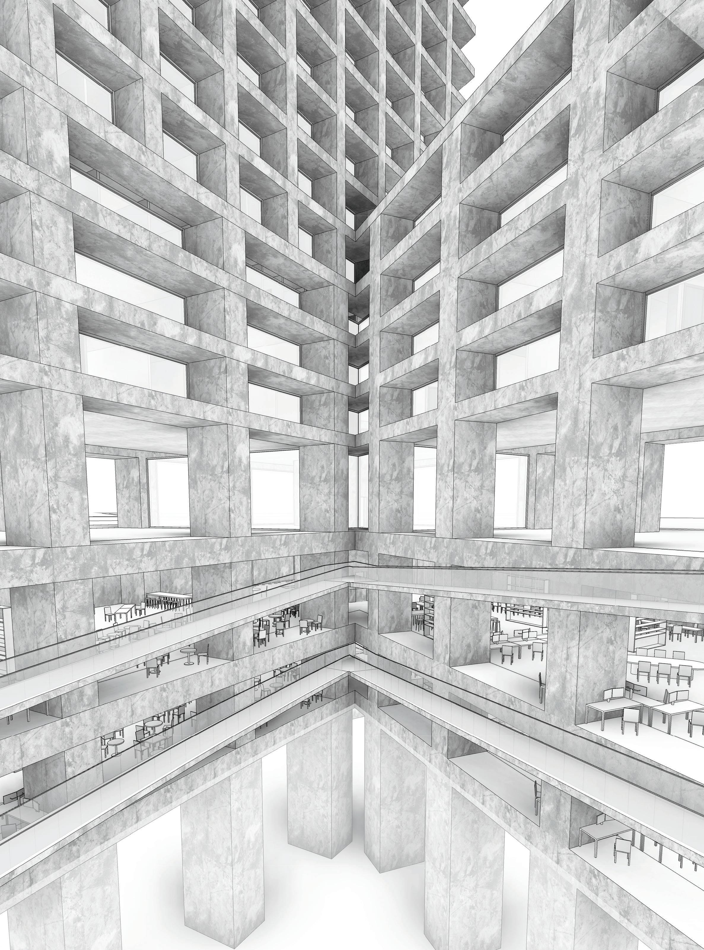
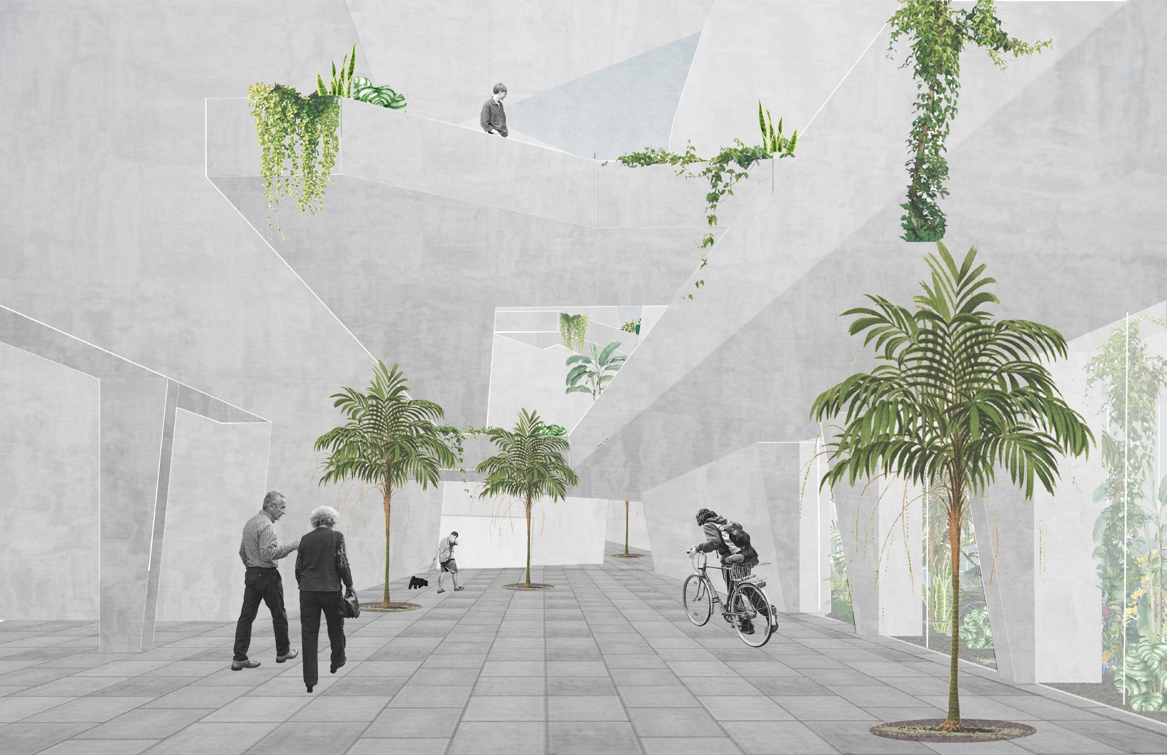
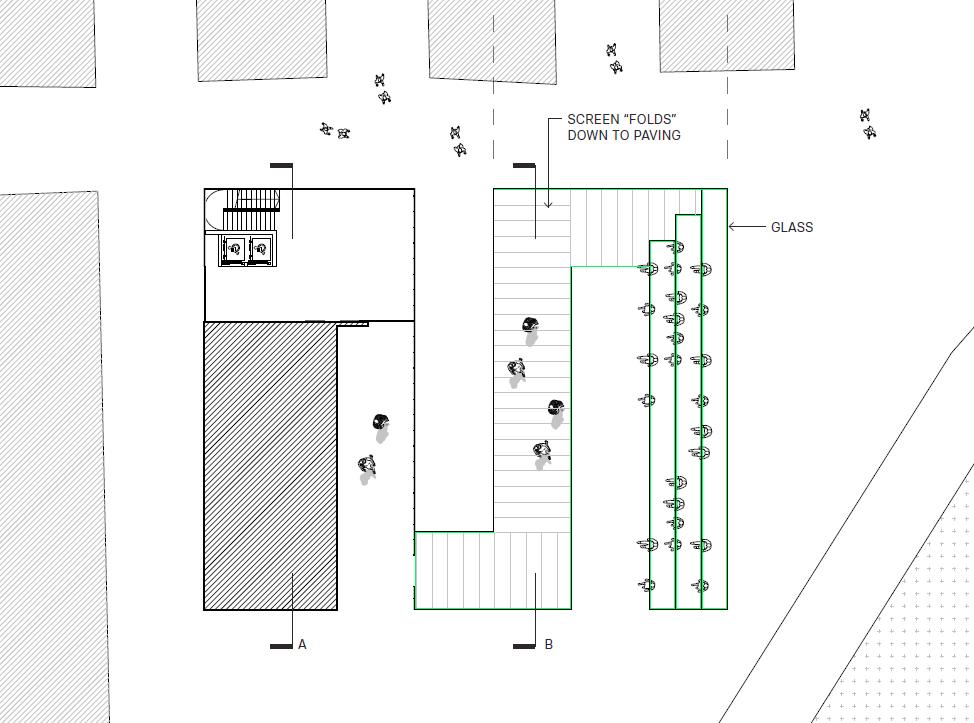
Project [MPEG], an acronym for the four funamental components of the urban plan, is a composition totally based on respect for its context. Every single move within the master plan and individual buildings is tied to the conditions of the city and the sea. [MPEG] seeks to redevelop the “Garden City” urban strategy of the Diagonal Mar neighborhood by replacing roads and parking with park and pedestrian areas, terminating the city grid with buildings or appropriate setback, and more smoothly transitioning between the boardwalk and El Forum.
The building emphasized in [MPEG], called “Edificio Uno,” is a direct manifestation of the notion of city and sea meeting. Its geometry, setbacks, and heights are entirely derived from its urban context. Its most interesting feature is the marine cave which brings the sea into the building. Edificio Uno embodies a heavy brutalist presence which is reflective of the thick, solid rock that composing natural grottos and marine caves. Its beefy structure thins-out and breaks down as the building sets back, creating a more urban-conducive facade as the building grows.
58 University of Virginia
MAR, PARQUES,
PARQUES, EDIFICIOS, GRUTAS
CONNECTING THE CITY AND THE SEA
CAMERON KAYNE
BADALONETA 59
[MPEG]


N AS L 1 5000 1 MASTER PLAN 2 60 University of Virginia


BADALONETA 61
1 - PARK SPACE 3 - PODIA 62 University of Virginia
TEAM MEMBERS STRATEGIES
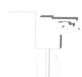
[MPEG] 2 - PATHS 4 - SETBACKS BADALONETA 63
TEAM MEMBERS
64 University of Virginia
CONCEPT
PROPOSED EXISTING
[MPEG] BADALONETA 65
CONNECTING PARKS AND TERMINATING ROADS
TEAM MEMBERS 66 University of Virginia
KEY MOMENTS
[MPEG] BADALONETA 67
TEAM
PROGRAM
68 University of Virginia
DIAGRAMS
MEMBERS CLIAMTE RESEARCH INSTITUTE RESIDENTIAL DORMITORY
STRUCTURE
CONTEXTUAL RELATIONSHIPS
[MPEG] BADALONETA 69
TEAM MEMBERS
70 University of Virginia
PLANS
RESEARCH CENTER
COURTYARD [MPEG] BADALONETA 71
TYPICAL APARTMENT PASSIVE CROSS
TEAM
PLANS
MEMBERS
72 University of Virginia
VENTILATION
TOWER [MPEG] BADALONETA 73
74 University of Virginia
EXTERIOR VIEWS TEAM MEMBERS
[MPEG] BADALONETA 75
INTERIOR VIEWS TEAM MEMBERS
76 University of Virginia
BADALONETA 77 [MPEG]
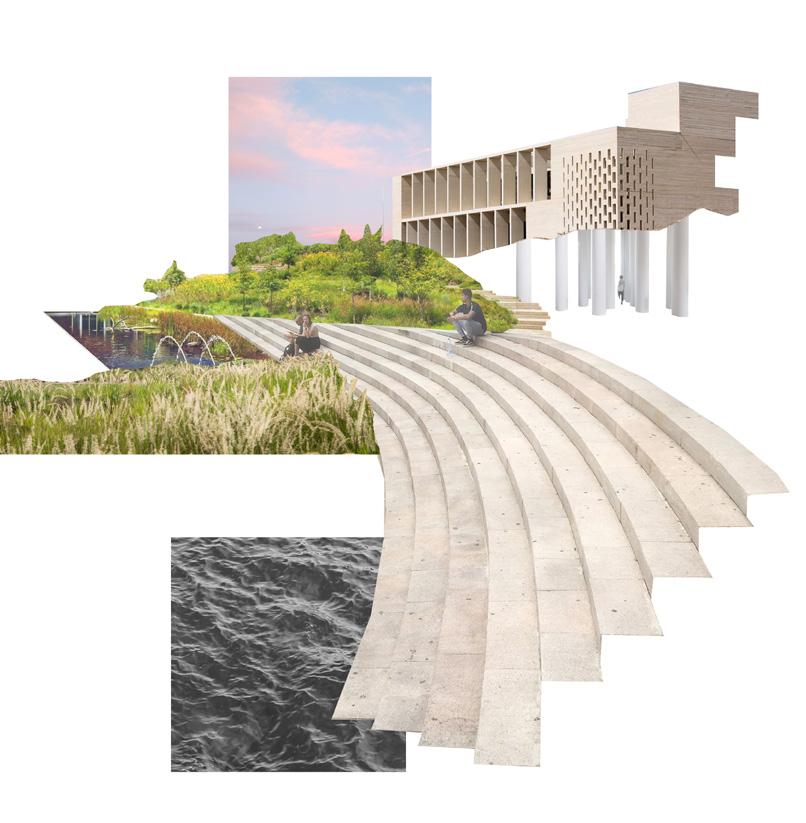
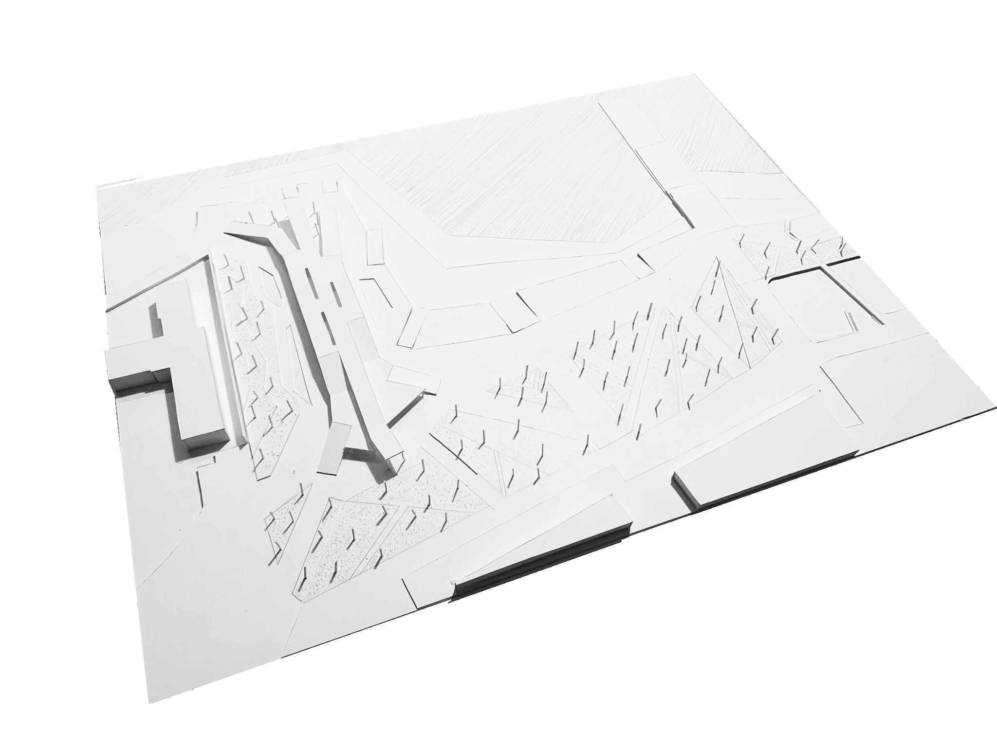
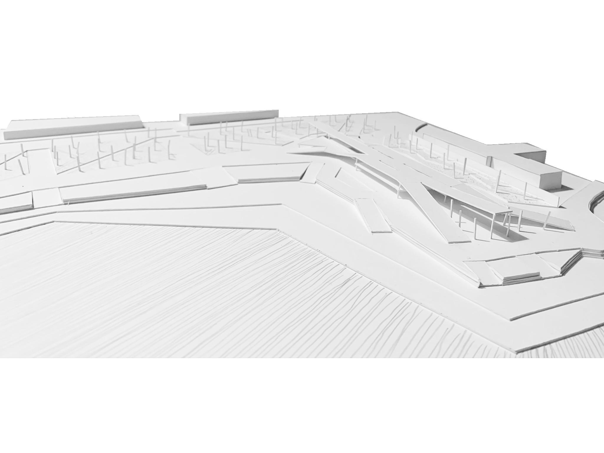
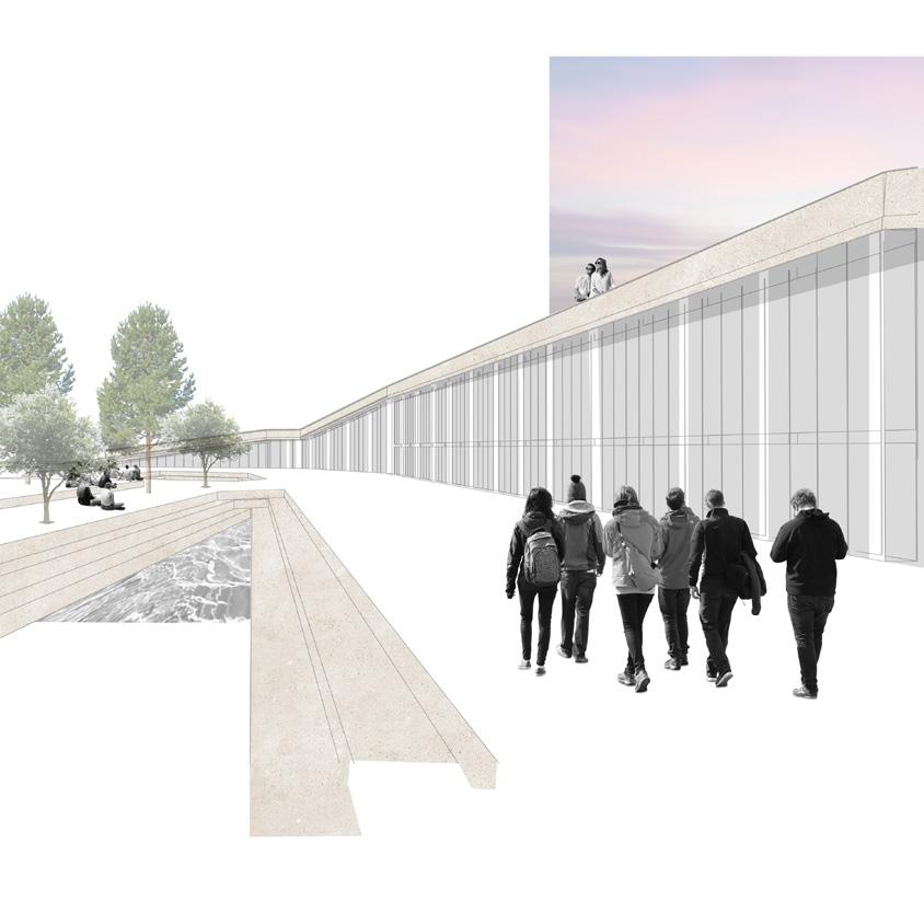
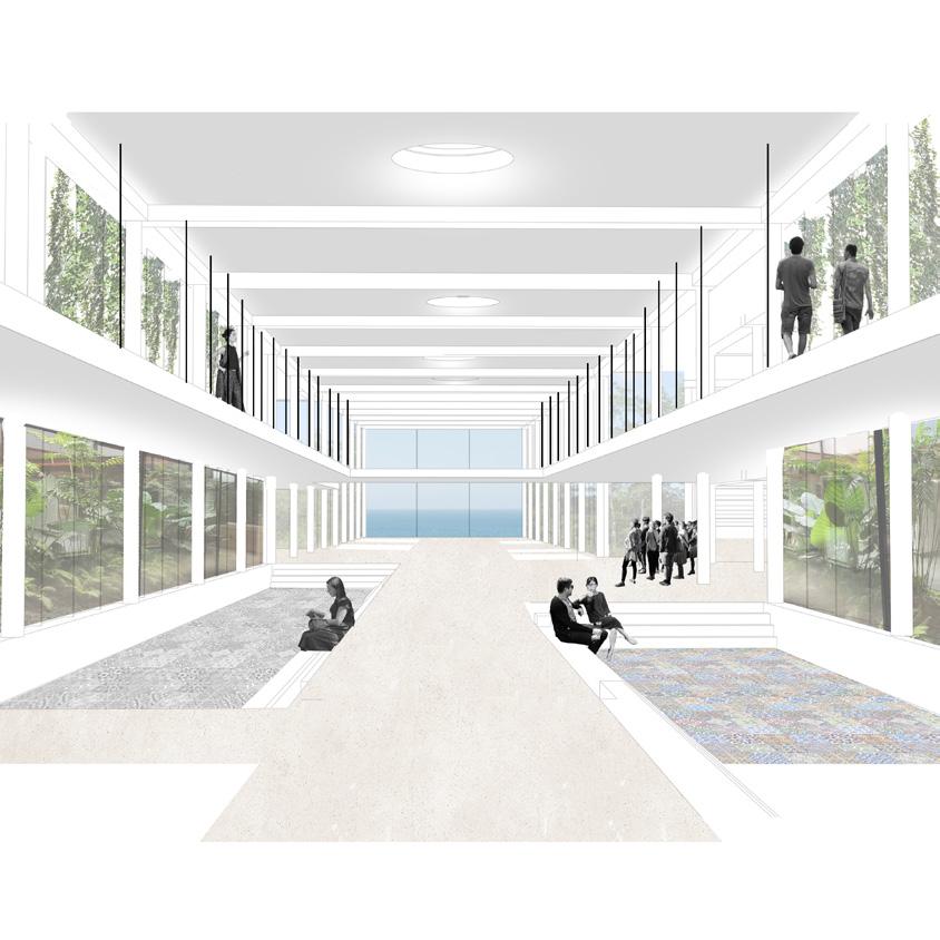
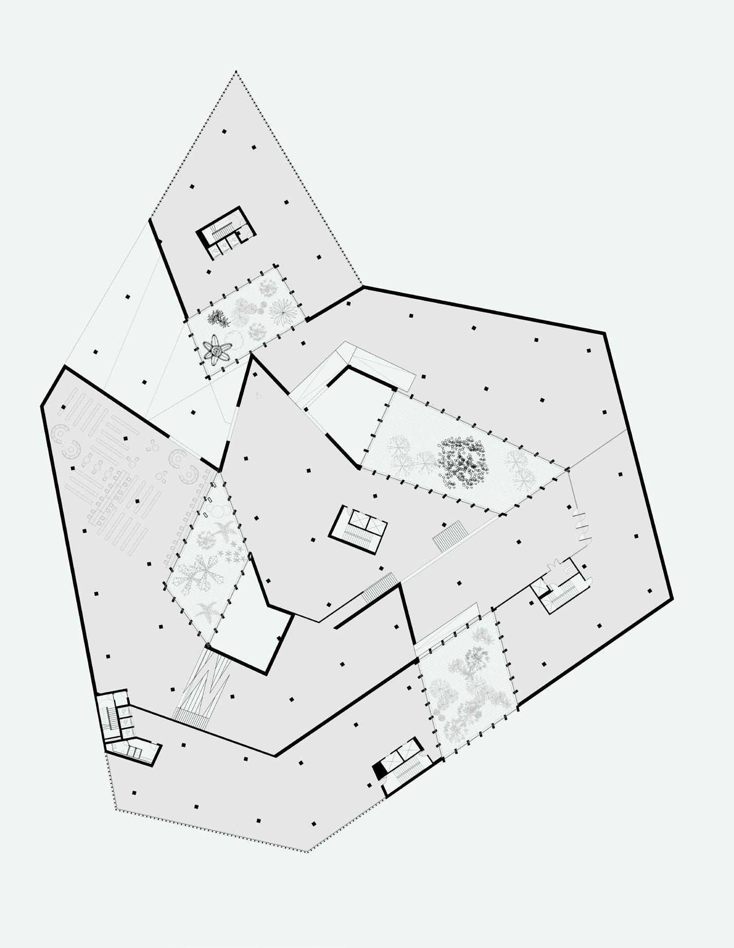
‘Occupy Ronda Litoral’ transforms the existing ring road infrastructure in Barcelona to form a new green ring around the city—creating a vibrant public corridor connecting the sea, the city, the rivers, and the mountain: Barcelona’s four main geological features. Built in anticipation of the 1992 Olympics, the Ronda ring road was constructed to link together the four main Olympic areas; however, the highway also subsequently sliced through the urban and environmental fabrics of Barcelona, separating the city from the sea and the mountains.
Our project seeks to reverse these adverse consequences by taking the Ronda, a private car-dominated piece of public infrastructure, and converting it into a resource for people that promotes biodiversity, natural water retention and alternative forms of transit. The project manipulates and distorts the formal-material language of the Ronda to maintain the memory of the old infrastructure while facilitating new functions for the green corridor. The wall along the city side is cut strategically in small areas to guide water from the city into the corridor, while the wall towards the sea deals with the unstable reality of sea-level rise to create large garden terraces that become a more resilient edge to the water.
The master plan for the project is organized into three parts, a new park/tram-line inside the Ronda, housing units dispersed along the old highway walls and a public institute comprised of three buildings serving as a new research institute and headquarters for the Barcelona Regional. Together these programs create a new public amenity, anchoring the end of the beach promenade. Extending from the infrastructure of the Ronda Litoral, this building simultaneously works to collect and divert rainwater, while at the same time providing vibrant public garden spaces within a concrete structural corridor.
78 University of Virginia
OCCUPY RONDA LITORAL
BADALONETA 79
KRISTINA FISHER, SESHI KONU
80 University of Virginia
KRISTINA FISHER, SESHI KONU
OCCUPY RONDA LITORAL BADALONETA 81
KRISTINA FISHER, SESHI KONU
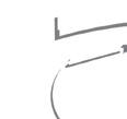
URBAN STRATEGY
TRANSFORMING INFRASTRUCTURE INTO A RESILIENT GREEN RING
82 University of Virginia
OCCUPY RONDA LITORAL BADALONETA 83
RONDA
CONCEPT RONDA BEFORE
AFTER
A NEW CIVIC ANCHOR 84 University of Virginia
KRISTINA FISHER, SESHI KONU
RAINWATER COLLECTION WITHIN CORRIDOR STRUCTURE
BUILDING MASS
CORRIDOR STRUCTURE EXTENDING FROM RONDA WALLS
OCCUPY RONDA LITORAL
BADALONETA 85
KRISTINA FISHER, SESHI KONU
LEVEL 2 GROUND LEVEL FLOOR PLANS 86 University of Virginia
OCCUPY RONDA LITORAL LEVEL 7 LEVEL 5 BADALONETA 87
SECTIONS
88 University of Virginia
KRISTINA FISHER, SESHI KONU
OCCUPY RONDA LITORAL BADALONETA 89
KRISTINA FISHER, SESHI KONU
KEY MOMENTS
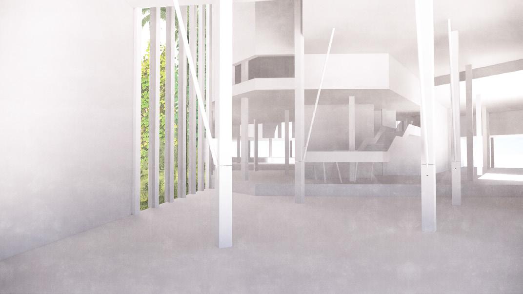
ABOVE: INTERIOR CORRIDOR
90 University of Virginia
OCCUPY RONDA LITORAL EXTERIOR ELEVATION INTERIOR ELEVATION BADALONETA 91
KRISTINA FISHER, SESHI KONU
VIEWS
HOUSING
92 University of Virginia
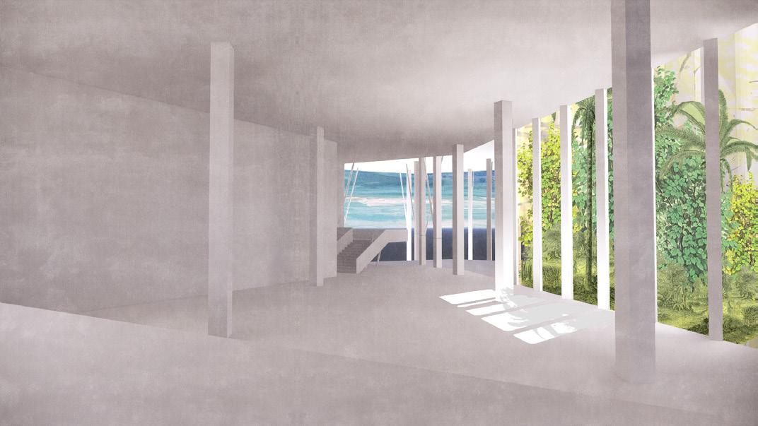
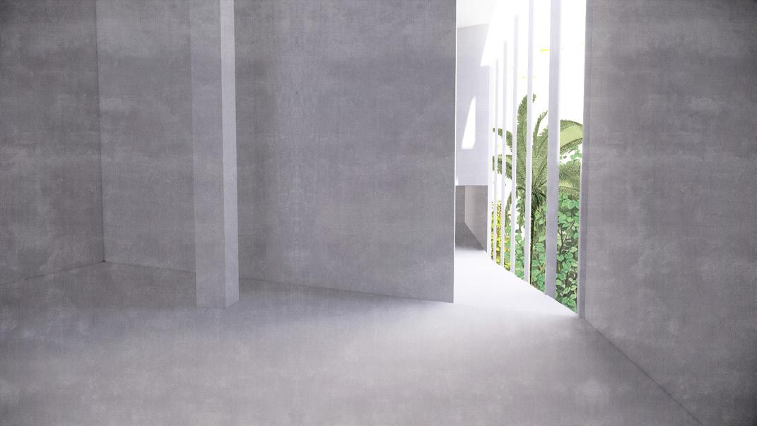
MARINE PLATFORM

OCCUPY RONDA LITORAL ANCHOR BUILDING LECTURE HALL INTERIOR BADALONETA 93
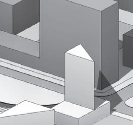
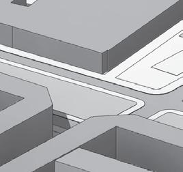
La Diagonal is the most important street in Barcelona. It is the exception to Cerda’s rigid grid. It links the sea to the Llobregat river pass through the mountains, providing an efficient critical thoroughfare through the city’s slow density. It is the ultimate public space.
Placa de les Glories Catalanes breaks La Diagonal. In this large junction with Grand Via and Avinguda Meridiana,
the continuity of the boulevard is cut to make way for various infrastructural projects that have attempted to solve the intersection. Diagonal Link reconnects the split boulevard through a new pedestrian urban corridor. Instead of a straight continuation of the street as it exists on either side, the new Diagonal links different zones through a morphing, meandering way.
Surrounded by parkland on either side, the Diagonal Link has two faces: an open and transparent interior celebrating the dialogue between pedestrian and building inhabitant, and the solid continuous form of the exterior that reflects its varied surroundings.
94 University of Virginia
CITY - LIBRARY - SEA
THE CATALUNYA NATIONAL LIBRARY CAMPUS ARIANA ARENIUS + JONAH PRUITT
BADALONETA 95
ARIANA ARENIUS + JONAH PRUITT
96 University of Virginia
BADALONETA 97 CITY - LIBRARY - SEA
ARIANA ARENIUS + JONAH PRUITT STRATEGIES
BADALONETA 99 CITY - LIBRARY - SEA CONNECTIONSTO EXISTING LIBRARIES & UNIVERSITIES
ARIANA ARENIUS + JONAH PRUITT STRATEGIES
BADALONETA 101 CITY - LIBRARY - SEA CONNECTIONSTO EXISTING LIBRARIES & UNIVERSITIES
ARIANA ARENIUS + JONAH PRUITT STRATEGIES
BADALONETA 103 CITY - LIBRARY - SEA CONNECTIONSTO EXISTING LIBRARIES & UNIVERSITIES
ARIANA ARENIUS + JONAH PRUITT STRATEGIES
BADALONETA 105 CITY - LIBRARY - SEA CONNECTIONSTO EXISTING LIBRARIES & UNIVERSITIES
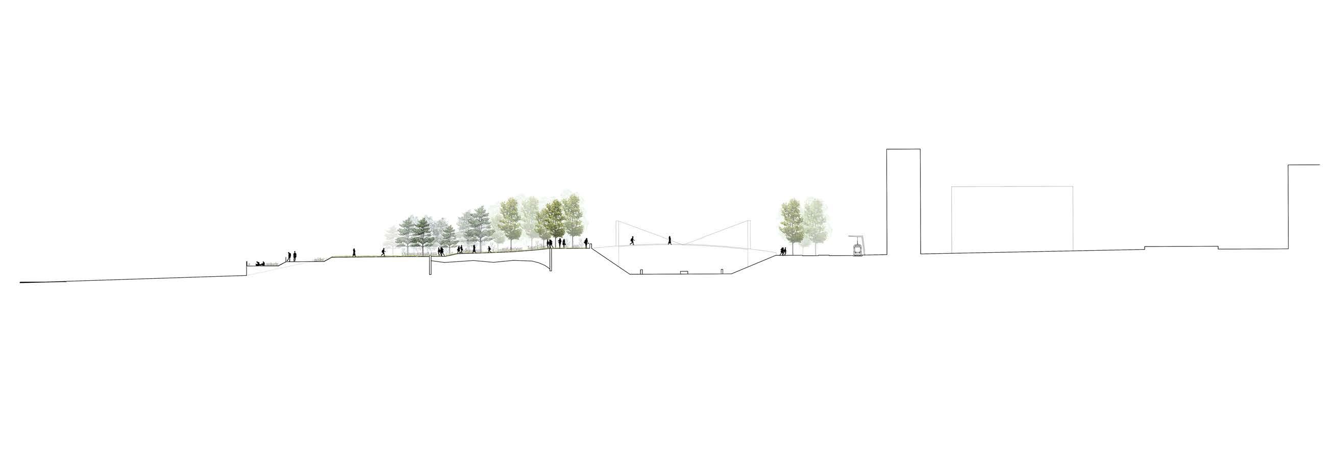
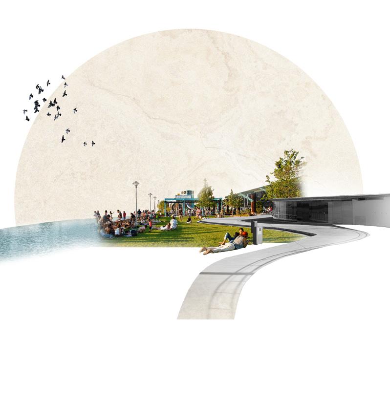
Public Park Housing PUBLIC PARK HOUSING
Catalunya National Library Campus Forum CATALUNYA NATIONAL LIBRARY CAMPUS FORUM

108 University of Virginia
ARIANA ARENIUS + JONAH PRUITT PROPOSED LANDSCAPE CITY - LIBRARY - SEA
KEY MOMENTS
Park View Beach Cross City
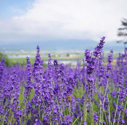
Lavender Pine Rosemary Plane
BADALONETA 109 CITY - LIBRARY - SEA 0 5 1:40
ARIANA ARENIUS + JONAH PRUITT
LANDSCAPE DIAGRAMS
BADALONETA 111 CITY - LIBRARY - SEA Public/Active/Collaborative Entry Porch Porch The Ocean The City TheUniversity The Boardwalk The Beach TheForum Entry Reading Research/Stacks/Storage BUILDING DIAGRAM
ARIANA ARENIUS + JONAH PRUITT
FLOOR PLANS
112 University of Virginia
1:300
1. Entry
2. Research Entry
3. Cafe
4. Seating/Exhibition
5. Reading Hall
6. Reading Porch
I
Bathroom 14. Bathroom 15. Children’s
16. Library Office 17. Class 18. Group Room 19. Periodicals 20. Lockers 1 2 4 3 5 15 16 18 14 10 12 11 13 19 20 8 9 6 7 1:300
7. Outside Porch 8. Catalunya National Library Stacks 9. Poetry Stacks 10. Exhibition 11. Auditorium
12. Auditorium II 13.
Area
1. South Terrace
2. North Terrace
3. Children’s Stacks
4. Conference
5. Computer Lab
6. Bathrooms
7. Research Open
Balcony
3 4 5 6 7 8 2 1
8. Research Stacks
BADALONETA 113 CITY - LIBRARY - SEA 0 10 15 20
1. History/Storage/Archive
2. Service/Mechanical
1 2 3 10 15 20
3. Lightwell
114 University of Virginia SECTIONS,
ARIANA ARENIUS + JONAH PRUITT Conf. Office Class Aud. A B B Children’s A 0 10 5 15 20 1:300 BR Cafe B Entry/Exhibit Reading Research Commons Research CNL History/Archive Periodicals/Local C Lockers
FAÇADES
BADALONETA 115 CITY - LIBRARY - SEA
BR
Conf. Maker Group Aud. BR
Overlook Exhibit
The Porch Hall Reading Area
Gallery
Poetry
MODEL PHOTOS


 ARIANA ARENIUS + JONAH PRUITT
CITY - LIBRARY - SEA
ARIANA ARENIUS + JONAH PRUITT
118 University of Virginia
VIEWS

BADALONETA 119 CITY - LIBRARY - SEA
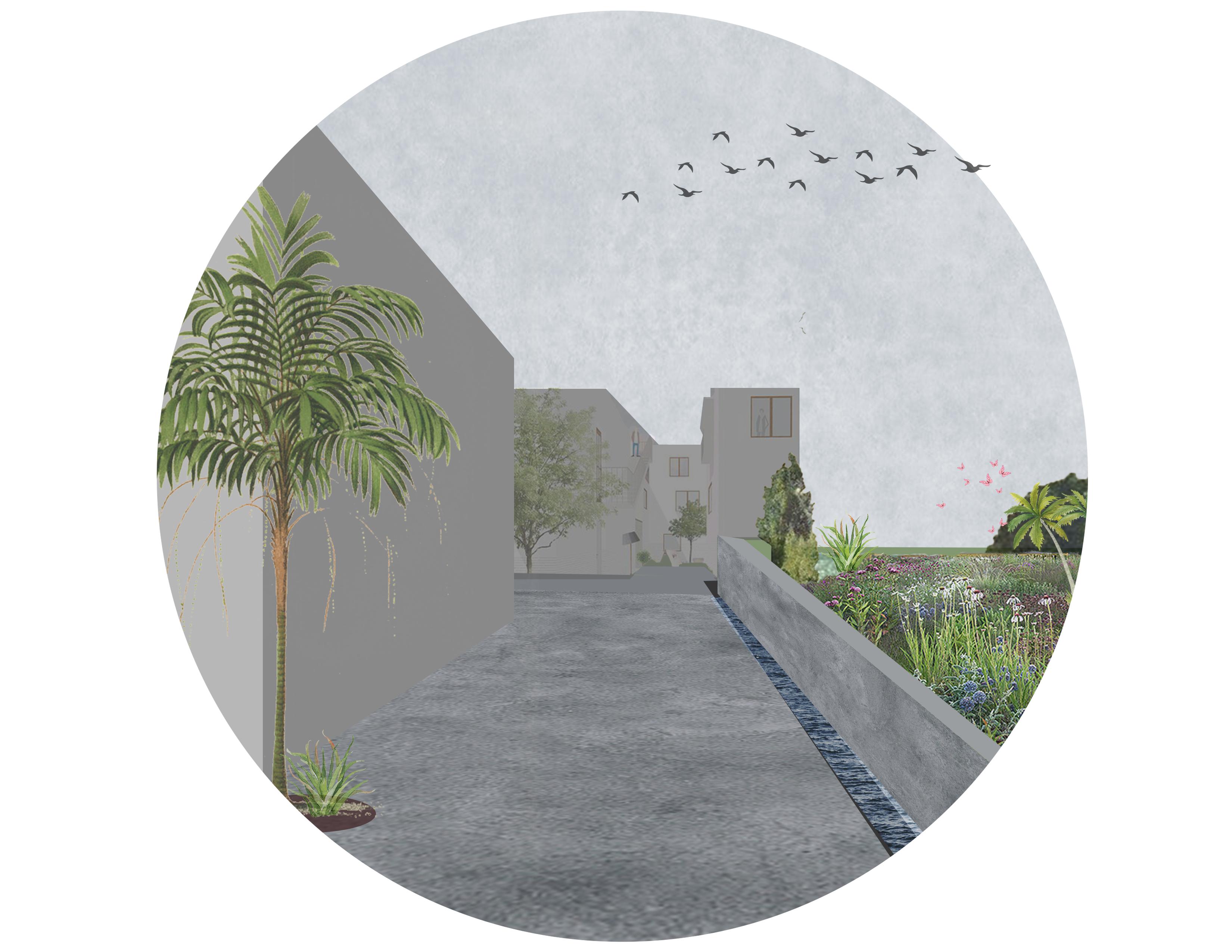
The Besos neighborhood is a dense, low income community that stretches along the Rambla Prim. By extending the Rambla typology to the site and repeating the scales of the neighborhood, the community can continue through the commercial space and to the shore. The scale of the informal plazas and corridors within the Besos neighborhood become the base for the new civic center, and the scale of the housing is then repeated. The tension of the in between space is also created on the site by intersection housing and civic spaces. The main building uses the intersection space as a point of connection between the residence and the Rambla. Water from the civic center roof is funneled into the space and stored on floor -1, which is used as a retention tank. The units are structured around a core (kitchen, bathroom and closets) and allow for air circulation and the movement from water to the sun on the SW facade.
120 University of Virginia
EXTENTION CONTINUATION OF RAMBLA PRIM AND THE BESOS NEIGHBORHOOD ANTHONY KERSHAW BADALONETA 121
ANTHONY KERSHAW ISOMETRIC
122 University of Virginia
BADALONETA 123
124 University of Virginia
ANTHONY KERSHAW STRATEGIES
EXTENTION BADALONETA 125
ANTHONY KERSHAW 126 University of Virginia
ROOF PLAN
EXTENTION BADALONETA 127 The Independent Course
ANTHONY KERSHAW
DIAGRAMS
WATER LOCATION AND CIRCULATION
128 University of Virginia
EXTENTION BADALONETA 129
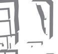
FLOOR PLANS
-1 (LEFT), 0 (RIGHT)
130 University of Virginia
ANTHONY KERSHAW
EXTENTION BADALONETA 131
SECTION, FAÇADE
ANTHONY KERSHAW 132 University of Virginia
EXTENTION BADALONETA 133


VIEWS ANTHONY KERSHAW 134 University of Virginia


EXTENTION BADALONETA 135
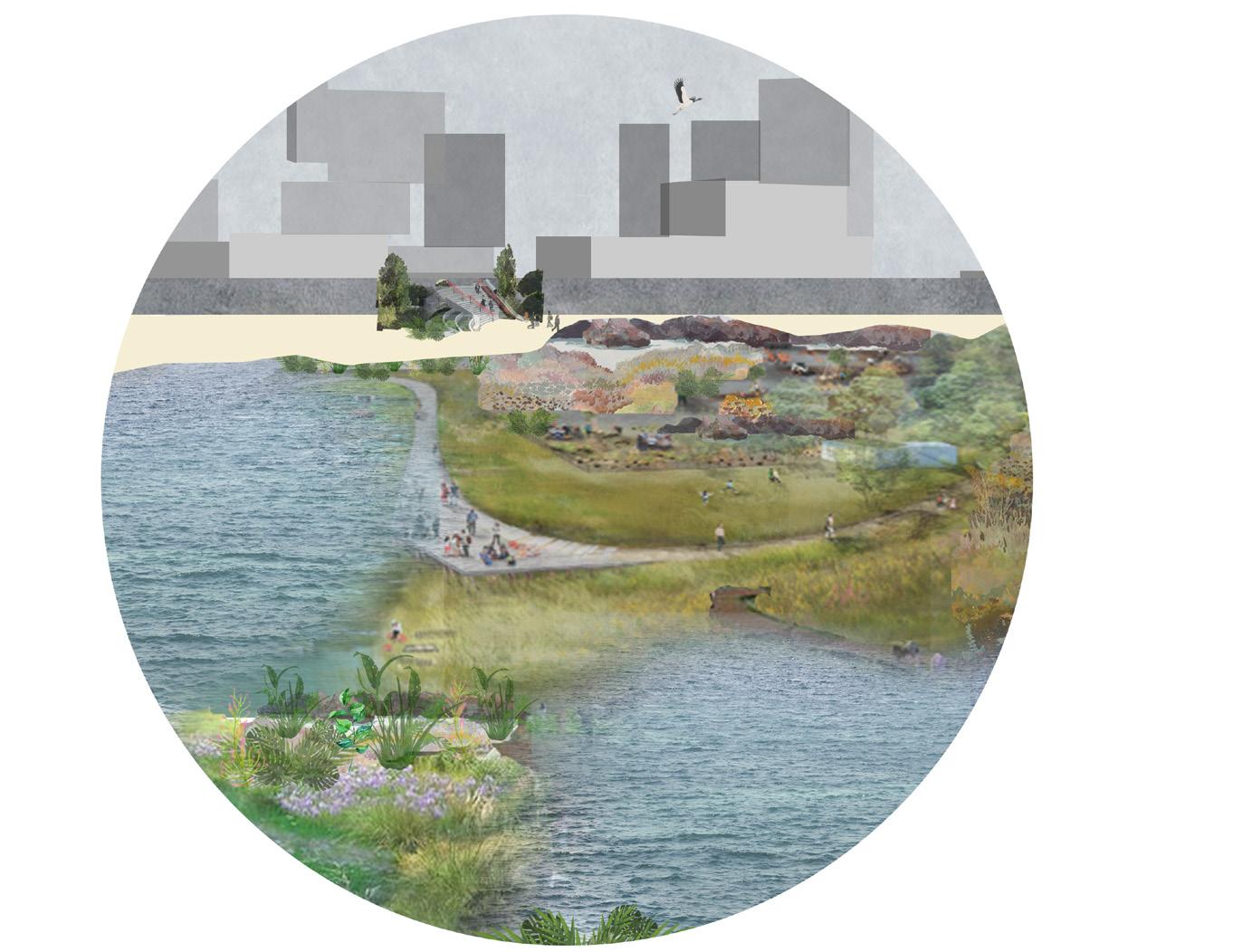
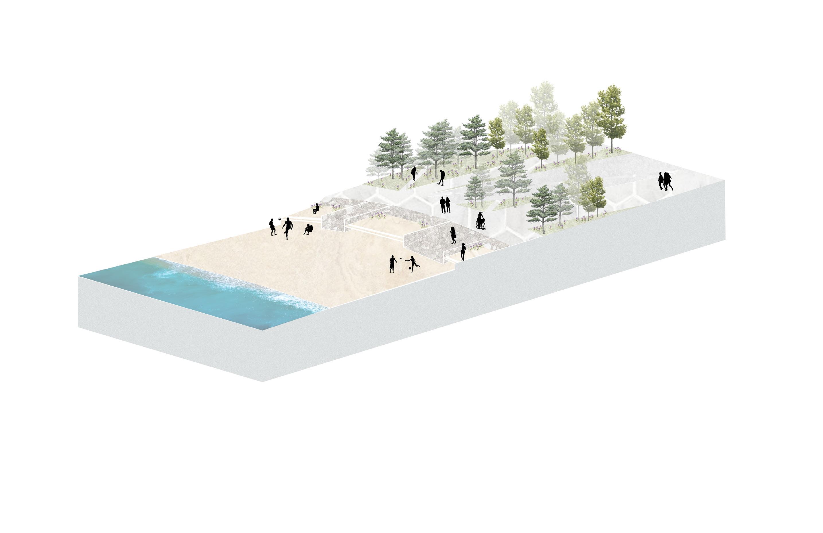
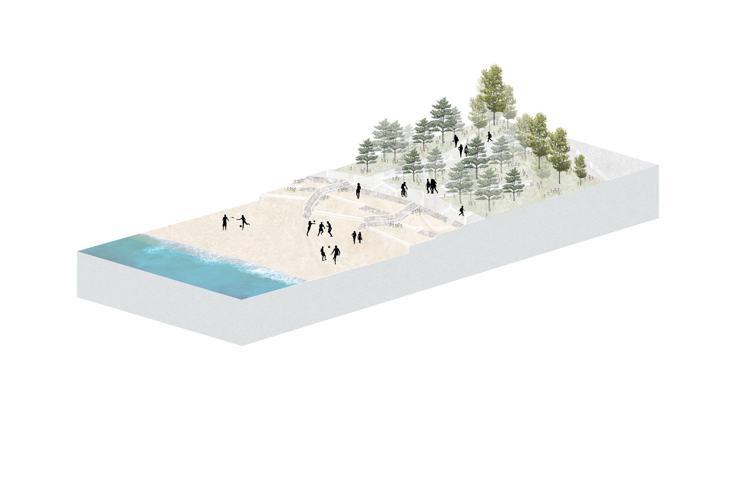
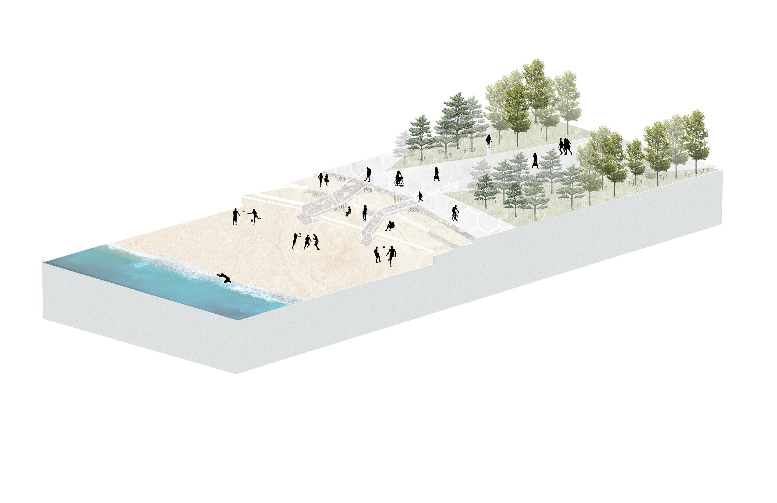
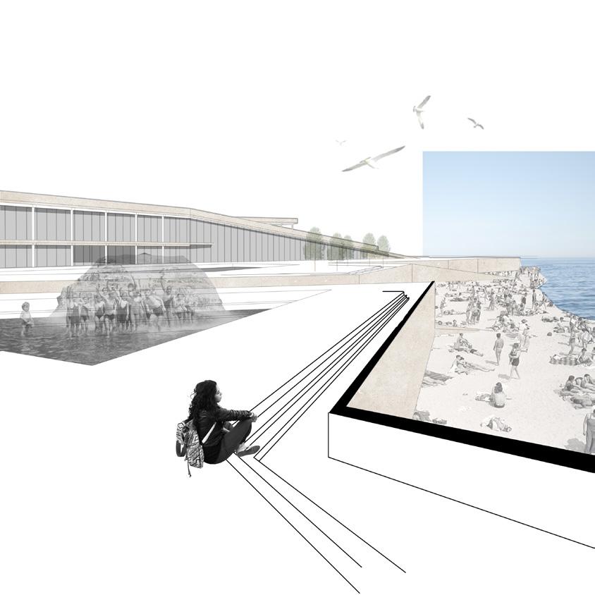
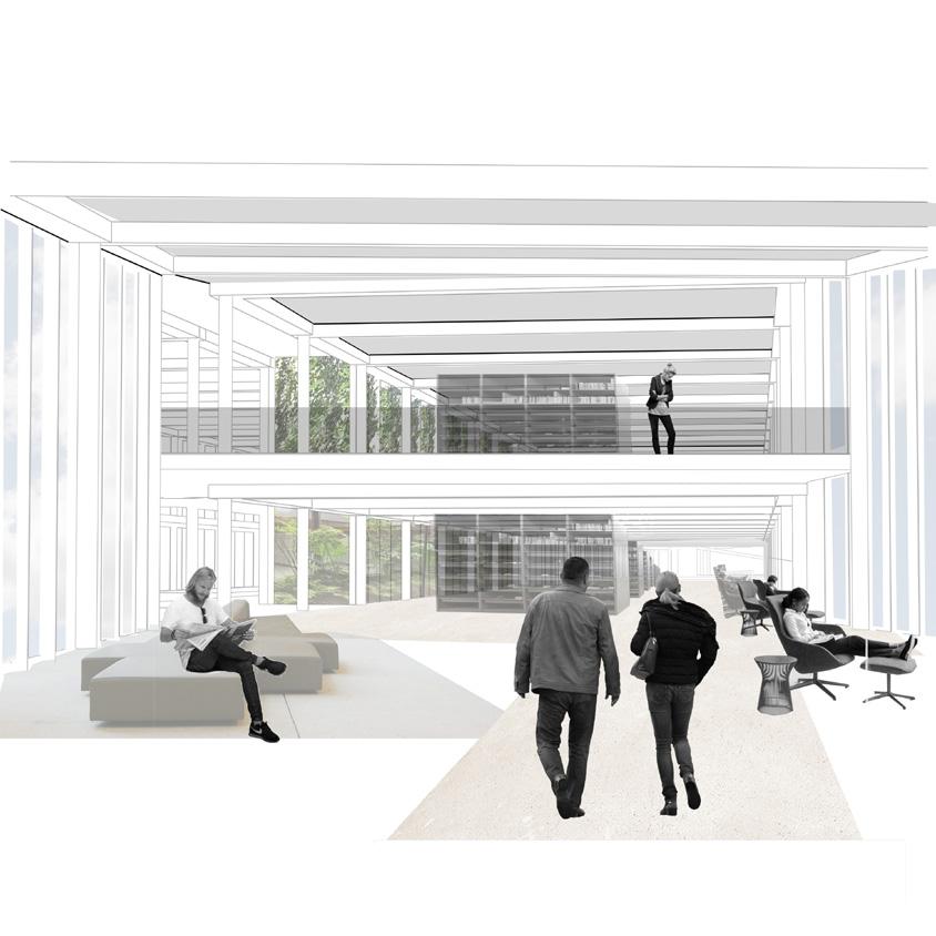
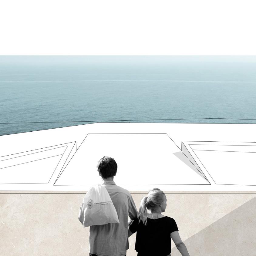
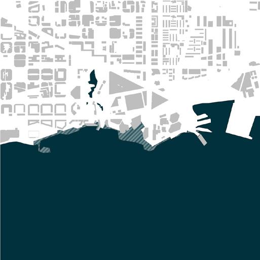
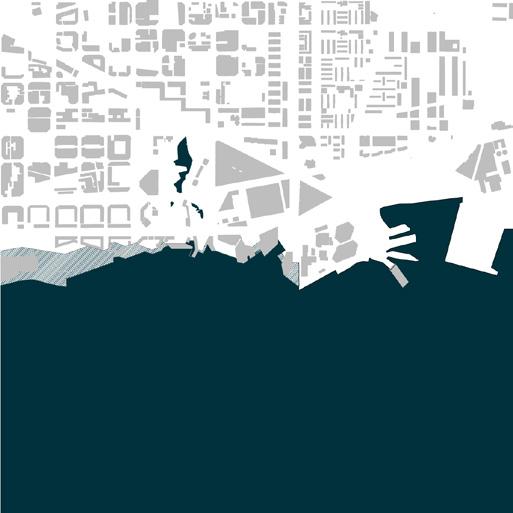
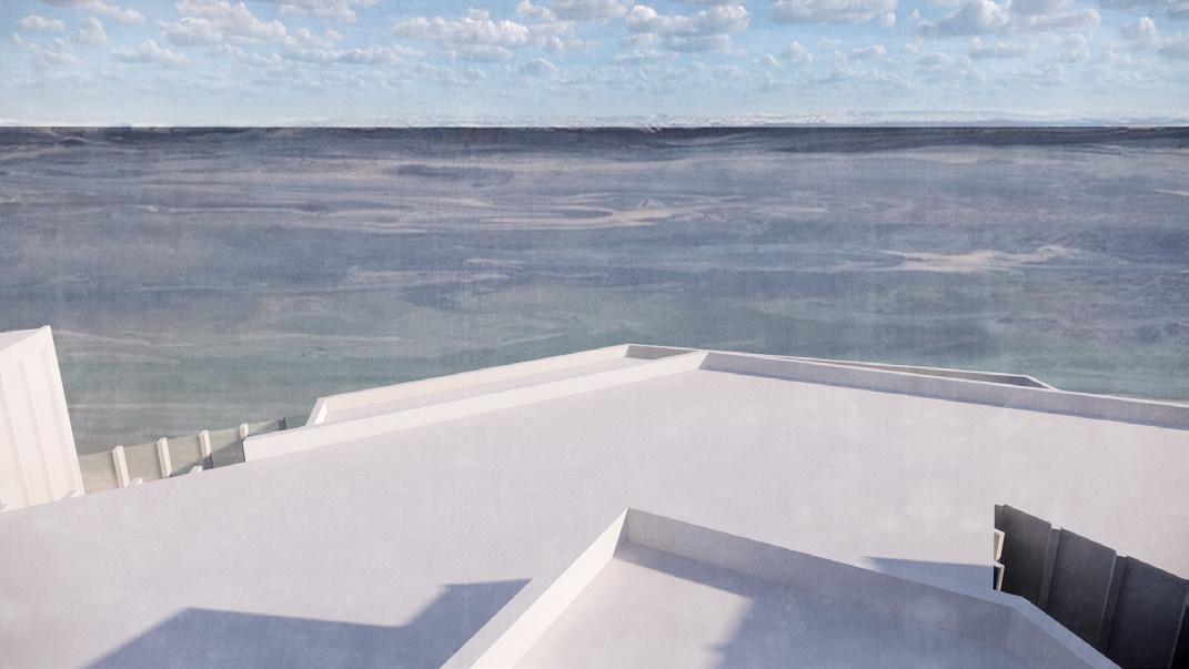
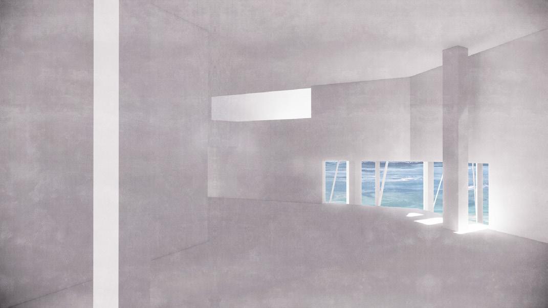
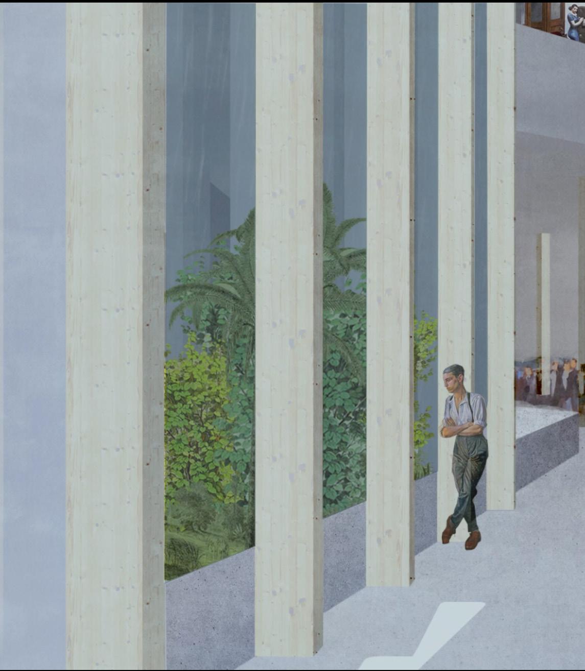
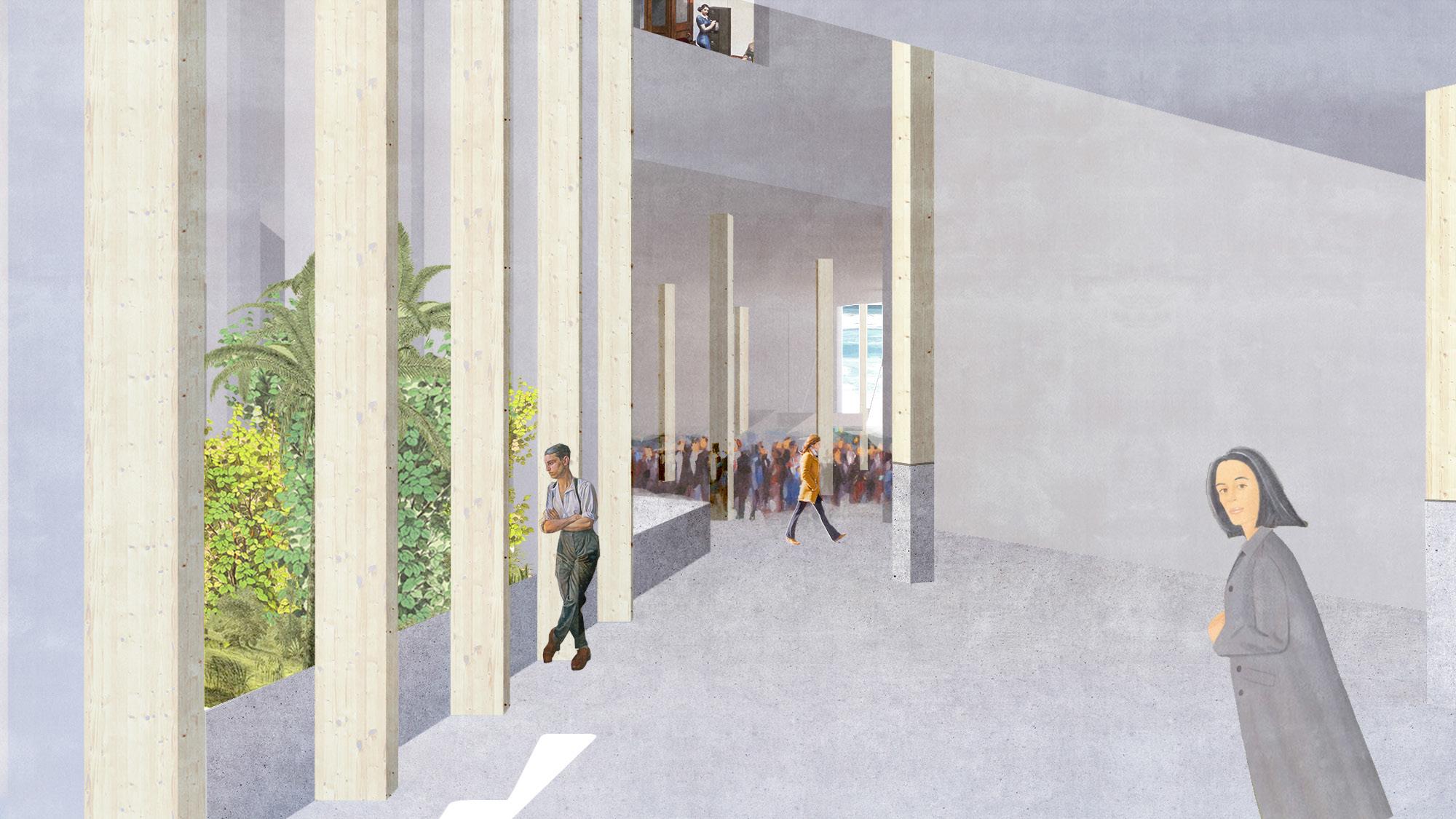
As the effects of climate change continue to be felt and understood, sea level rise becomes not a possibility, but a certainty. However, the magnitude of this problem is not yet known and depends on numerous varying factors. The coast of Barcelona in this way becomes a region of uncertainty. However, this uncertainty need not be looked at as purely a hazard, but can be an opportunity for engagement, with a mysterious and ephemeral frontier between the human and non-human. Deshilachar La Costa seeks to respond to this new condition through the provision of space and territories which are adaptive, and are transformed by the cycles of water, both short and long term, present on the site.
136 University of Virginia
DESHILACHAR LA COSTA
BADALONETA 137
FRAY THE COAST SAM JOHNSON & SHERRY NG
138 University of Virginia 1m 2m 3m 4m 5m 6m 7m 8m + + + + + + + + SAM JOHNSON & SHERRY NG
BADALONETA 139
9m
12m
DESHILACHAR LA COSTA
5m
+ + +


140 University of Virginia
SAM JOHNSON & SHERRY NG
DIAGRAMS
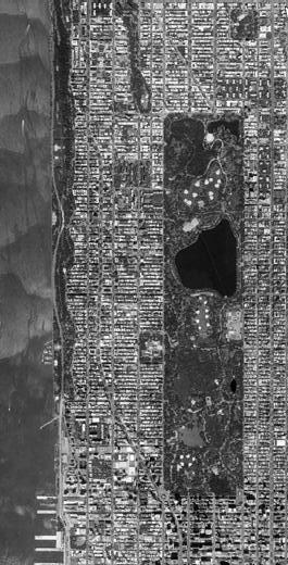
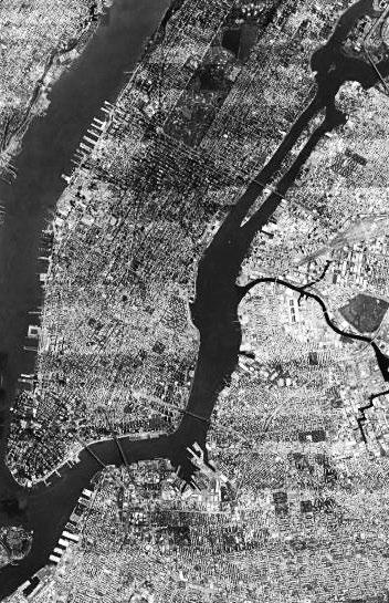

BADALONETA 141 CENTRAL PARK PROSPECT PARK BROOKLYN EAST RIVER DESHILACHAR LA COSTA
142 University of Virginia
SAM JOHNSON & SHERRY NG
STRATEGIES
TERRACED GROUND PLANE
TERRACED GROUND PLANE
Ground plane terraces toward sea
PATIOS (STORMWATER)
PATIOS (STORMWATER)
Interior patios and collect greywater
PROGRAMS
Ground plane terraces toward sea Library Cafe
PATIOS (STORMWATER)
Interior patios bring daylight in from above and collect greywater
PROGRAMS
STRUCTURE
Library Cafe Student Center Offices Recreation Center
Concrete limited to below 9m above sea level Mass timber construction above 9m datum
Interior patios bring daylight in from above and collect greywater
CIRCULATION CORES
PROGRAMS
Library Cafe Student Center Offices Recreation Center
STRUCTURE CIRCULATION
Concrete limited to below 9m above sea level Mass timber construction above 9m datum
Circulation connects different programmatic
CIRCULATION CORES INTERIOR PUBLIC FACING
Circulation connects between different programmatic zones Balconies
INTERIOR BALCONIES / PUBLIC FACING INTERIOR FACADES
Circulation connects between different programmatic zones Balconies face onto interior public street
INTERIOR BALCONIES / PUBLIC FACING INTERIOR FACADES Balconies face onto interior public street
BADALONETA 143
level
DESHILACHAR LA COSTA
SECTION PERSPECTIVE (WEST)
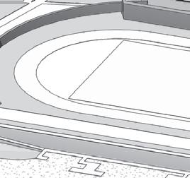
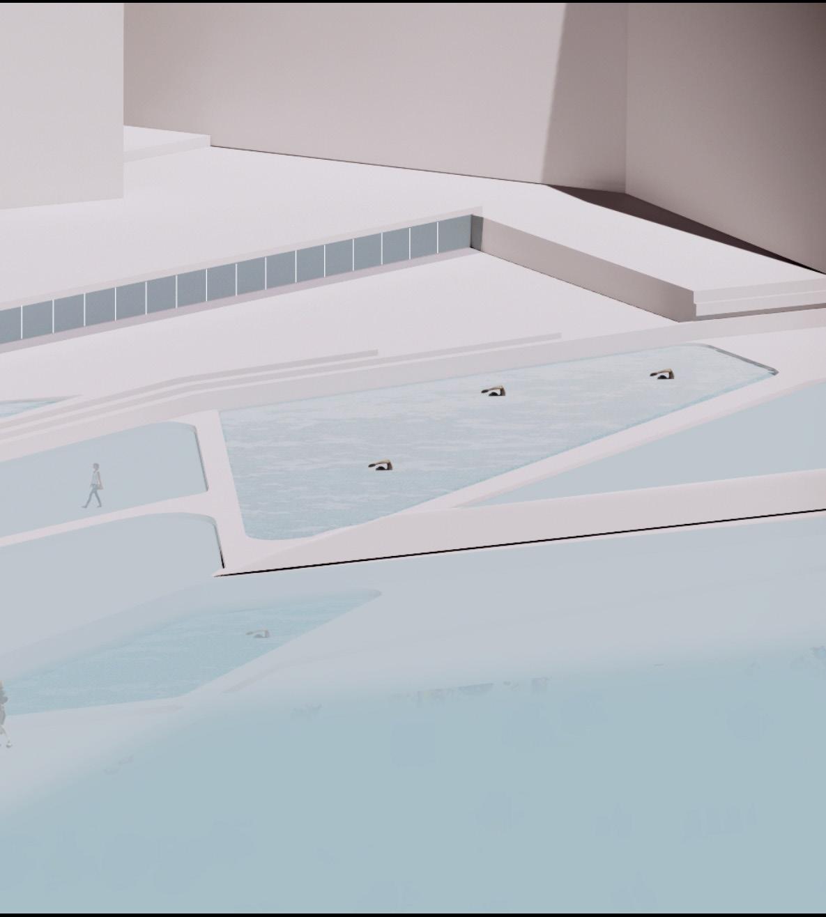
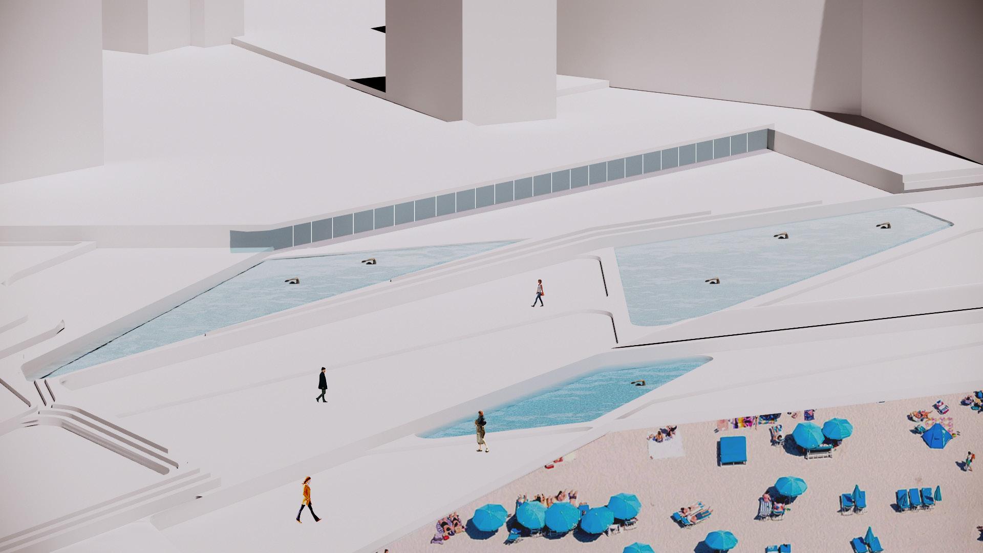
144 University of Virginia EL +5m Athletic Fields Wave Pool Water Park EL +3m Swimming Pool EL +4m Rolling Dune Playground
SAM JOHNSON & SHERRY NG
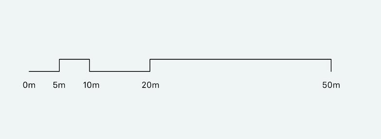
BADALONETA 145 38M PISO 6 33M PISO 5 28M PISO 4 23M PISO 3 14M PISO 1 9M PISO 0 19M PISO 2 DESHILACHAR LA COSTA
SECTION (EAST)
146 University of Virginia + + + + + + +38M PISO 6 33M PISO 5 28M PISO 4 23M PISO 3 14M PISO 9M PISO 0 19M PISO 2
SAM JOHNSON & SHERRY NG
BADALONETA 147 DESHILACHAR LA COSTA
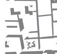
GROUND FLOOR PLAN

148 University of Virginia
SAM JOHNSON & SHERRY NG
BADALONETA 149 DESHILACHAR LA COSTA
SECOND FLOOR PLAN & PROCESSION VIEWS
150 University of Virginia
SAM JOHNSON & SHERRY NG
BADALONETA 151 DESHILACHAR LA COSTA
VIEWS: APPROACH TO BUILDING
VIEWS: INTERIOR
152 University of Virginia
SAM JOHNSON & SHERRY NG
BADALONETA 153 DESHILACHAR LA COSTA
VIEWS: EXTERIOR
VIEWS: SITE ACTIVITY
154 University of Virginia
SAM JOHNSON & SHERRY NG
BADALONETA 155 DESHILACHAR LA COSTA
156 University of Virginia
SAM JOHNSON & SHERRY NG
MODEL PHOTOS
BADALONETA 157 DESHILACHAR LA COSTA
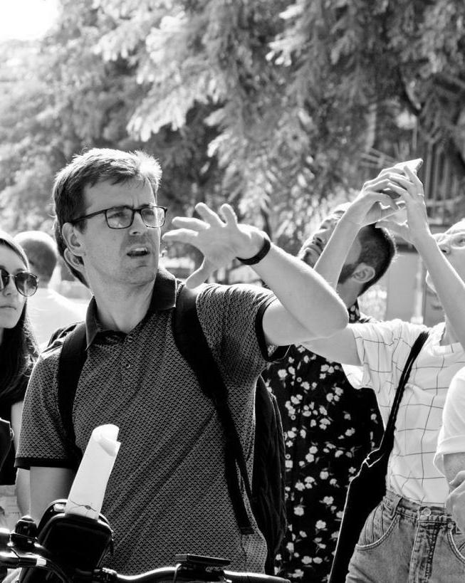
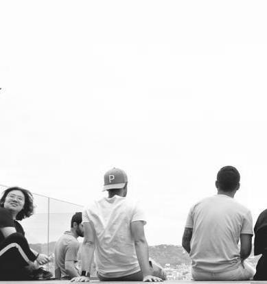
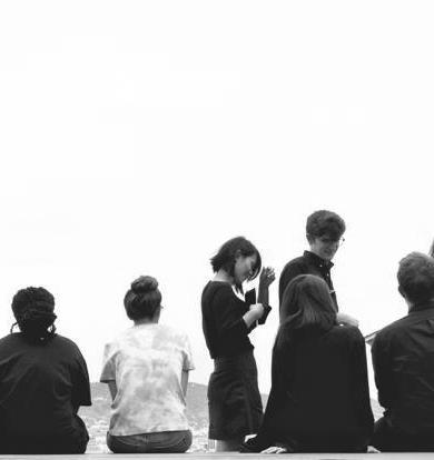
DAYLIFE
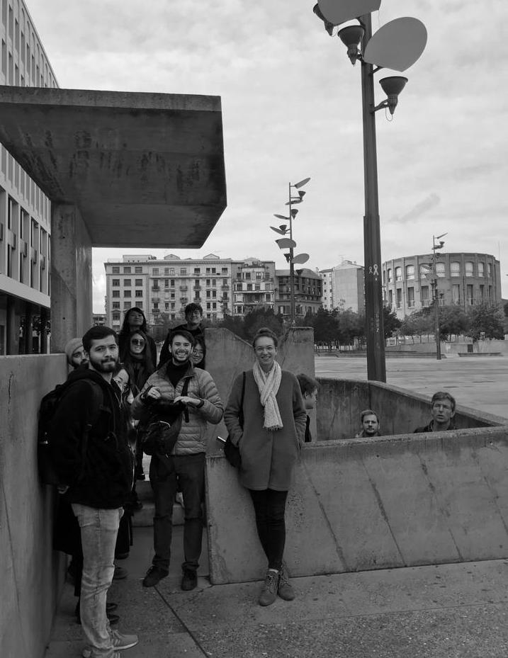
158 University of Virginia
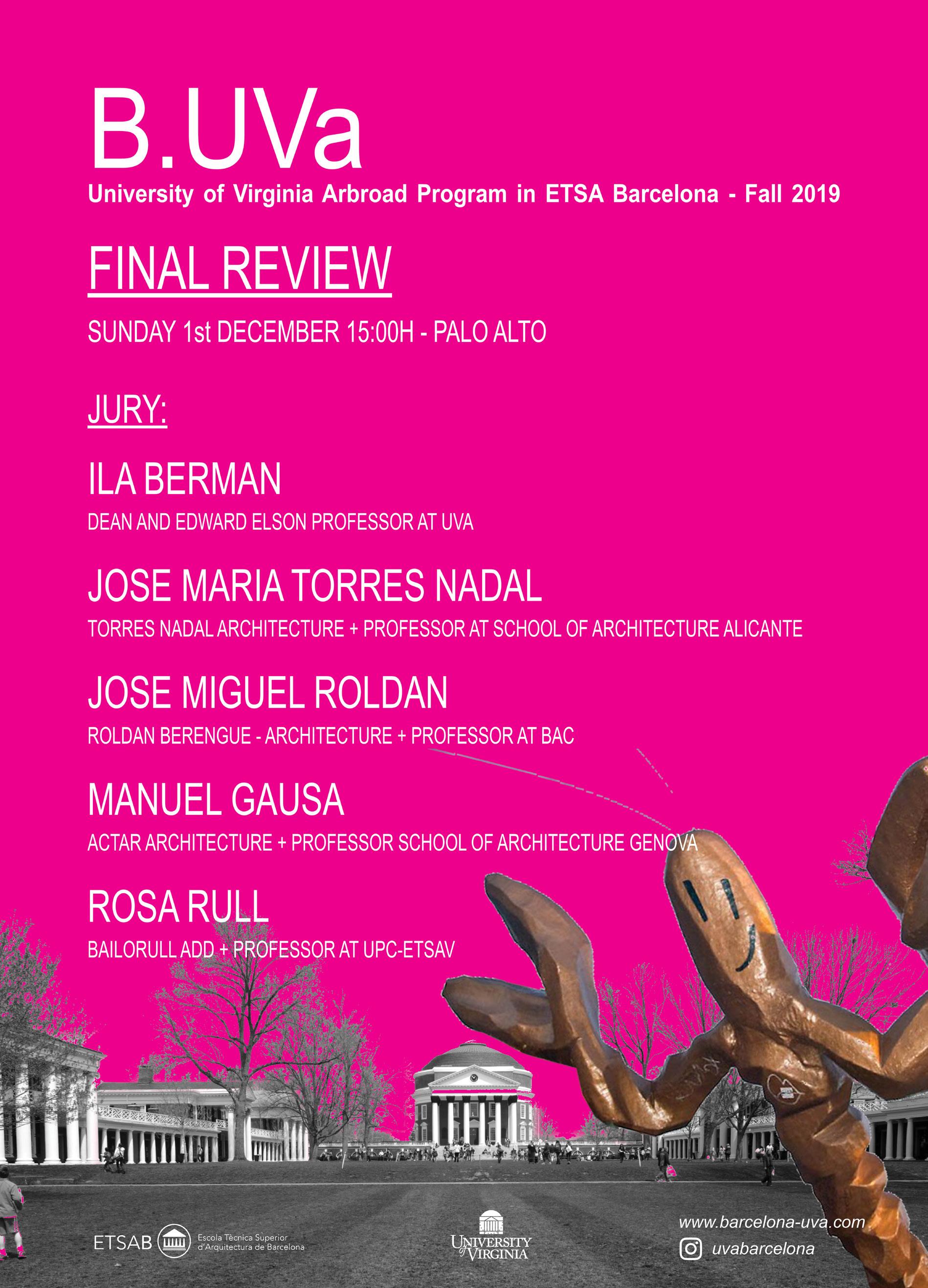
Final Review at Palo Alto
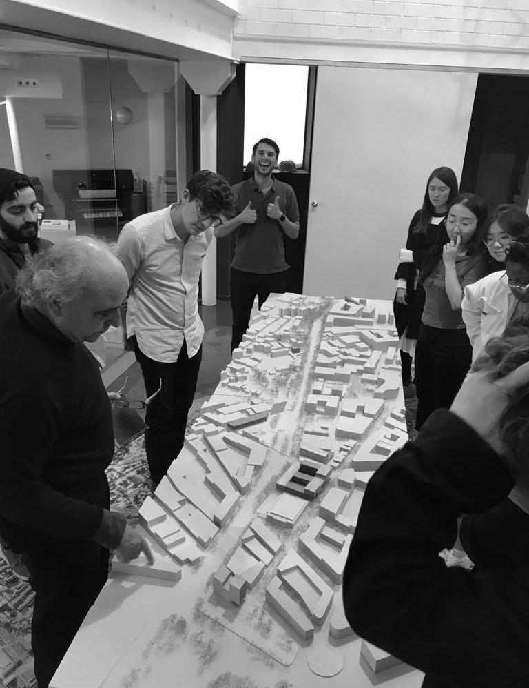
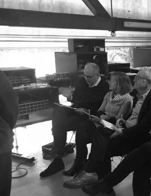
Jury: Ila Berman, Jose María Torres Nadal, Jose Miguel Roldán, Manuel Gausa and Rosa Rull.
160 University of Virginia
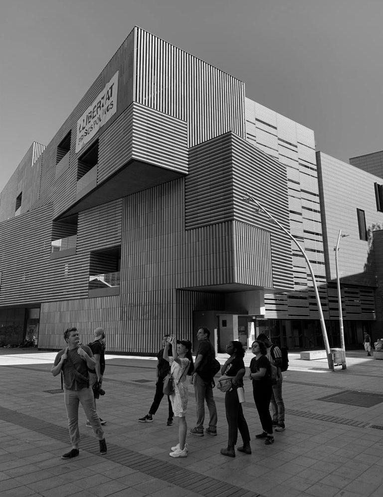
International intensive workshop at ...... Daylife 161
162 University of Virginia
Visit to Igualada Cementery by Enric Miralles and Carme Pinós Daylife 163
Telefonica
164 University of Virginia
tower by Enrich Massip-Bosch
Daylife 165
166 University of Virginia
Visit to Constitution Square by Martinez Lapeña and Elias Torres
Visit to Escola Massana by Carme Pinós Daylife 167
OPEN TALKS
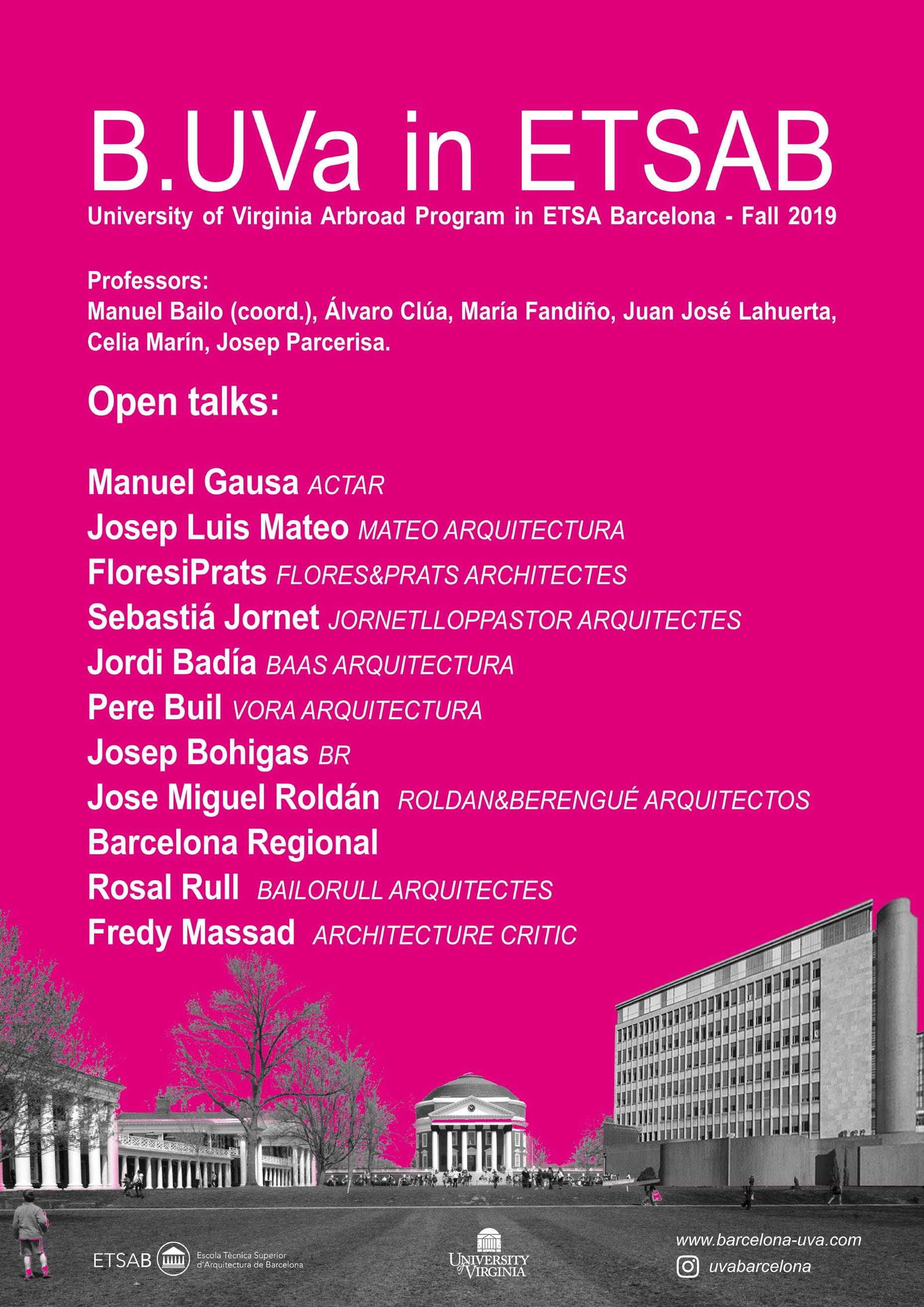
168 University of Virginia
BADALONETA 169
170 University of Virginia
BADALONETA 171
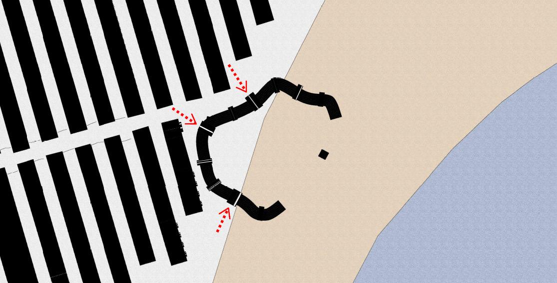
THE GEGANTS SHOW
ARCH 5605 - Urban Materiality
 Manuel Bailo_Associate Professor
Barcelona is internationally known as a city whose the urban design is always under urban review, a place where architecture defines the citizen’s way of life. In other words, It is a city in which the voice of the architect has historically dicated how the town should be improved.
This class will introduce the students to understanding the city scale and landscape design in terms of materiality. The students will learn how to use the materials to resolve urban and landscape issues.
The Cerdà grid, designed during the Nineteenth Century, and the restoration of the city through the Olympic Games, created a city where architecture is naturally part of our culture. Barcelona is an ancient and modern city where urban design and architecture are one unique entity.
The students will learn how the city has evolved through the design of public spaces. This course will help us to determine how public space has been the catalyst for the transformation of the city. Course PedagogyThis course will consist of lecture classes and studio classes and visits. This course will use Barcelona as a laboratory of a public space. The program will be organized in 2 different phases. The two first phases will consist of lecture classes, research and drawing phase. The third phase will conclude with a small-scale proposal regarding a public space in the center of the city.
172 University of Virginia
BADALONETA 173
Sam Johnson + Sherry Ng
174 University of Virginia
BADALONETA 175
Sam Johnson + Sherry Ng

176 University of Virginia
BADALONETA 177
Ariana Arenius + Seshi Konu
BADALONETA 179
Qing Feng + Yunfan Yang
180 University of Virginia
BADALONETA 181
Kristina Fisher + Anthony Kershaw + Cameron Kayne
 Kristina Fisher + Anthony Kershaw + Cameron Kayne
MODERN CITY - MODERN
ARH 5613 - 501 - Gaudi’s Legacy
Celia Marín_Professor of Architecture
Since the urban transformation of Barcelona during the fourth quarter of the 19th century the shape of the city was stablished for the times to come, but the rationalistic lines of the city planning that have defined the organization and structure of the streets were not going to define the image of its architecture and its people.
The turn of the century was a period comprised between two major historical events, the disaster of 1898 and the Great War. Old money versus new money competing for the control of the city while workers and the lumpen proletariat discovered the call of anarchism and social revolution. The course is organized in a series of lectures and visits to the main works of modernism architecture designed by Gaudi. Other visits and places will be suggested.
Barcelona’s carnet.
Bring a notebook to all the visits with you. Create your own carnet, as if you were a young architect on an initiating trip. Like Le Corbusier or Louis Kahn. Draw, take notes. Have something solid –as opposite to something virtual- of your wanderings around Barcelona.
184 University of Virginia
MODERN LIFE
BADALONETA 185
CONSTRUCTION OF THE
PLAN 5611 - 501 - Barcelona Urban History
Josep Parcerisa_Professor of Architecture
Álvaro Clúa_Assistance Professor
The city of Barcelona is an on-going urban laboratory. Which role play the ideas and settlements, the geography and history in the shaping of the landscape of this metropolitan city?
The module aims to ask this question through a combination of lectures and on-site visits focused on the analysis and discussions of urban places and their landscapes. Each lecture at school consists on the presentation of one or two theoretical topics ended by a final open discussion.
The field trips are part of the theoretical background of the module and tries to give a close up view. This year, students will have the chance to participate on the events related with the International Biennial of Landscape Architecture that will take place in Barcelona.
The final assignment should be an individual, precise and original contribution on any topic related with the course. The students will be evaluated by a final public presentation of 10 minutes’ length and a short paper illustrated by drawings, photographs, visuals and written arguments.
186 University of Virginia
THE MODERN CITY
BADALONETA 187
188 University of Virginia
Daylife 189
